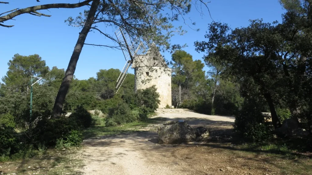
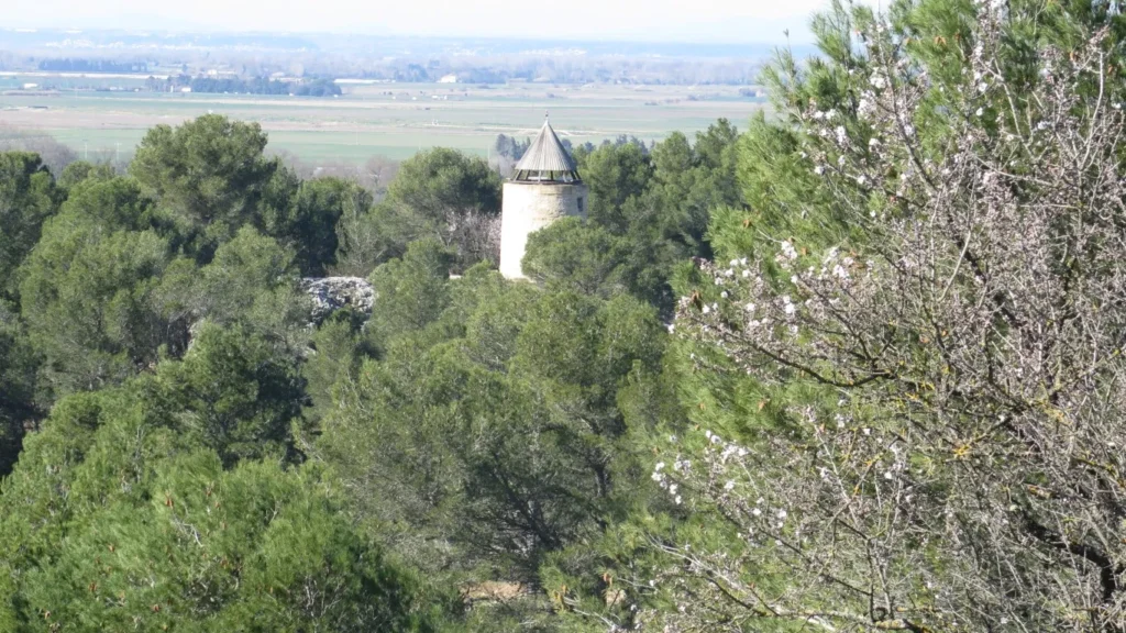
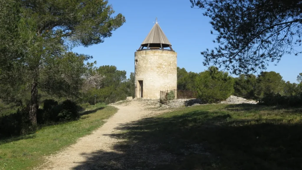
Fontvieille in the Bouches du Rhône region is best known for its mills: Daudet’s mill in particular. Although he never owned the mill, he drew inspiration from it in his writings. In fact, Daudet frequently stayed at the nearby Château de Montauban, and was certainly familiar with the mill.
On this tour, however, it’s another mill that attracts our attention.
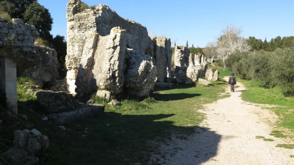
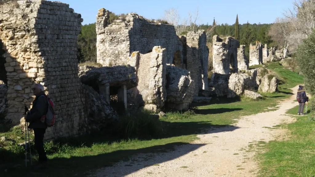
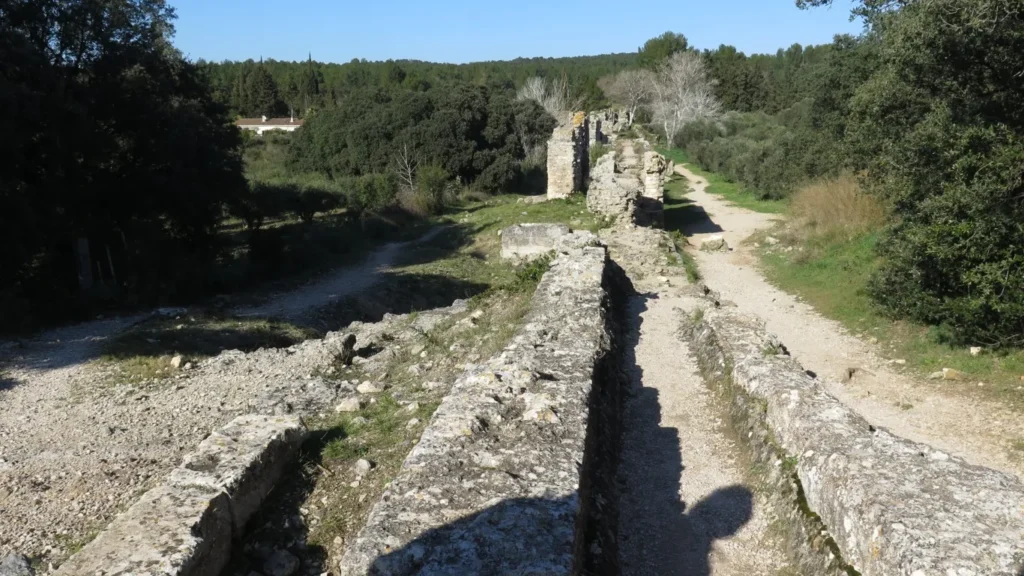
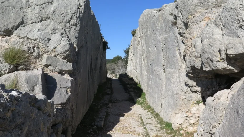
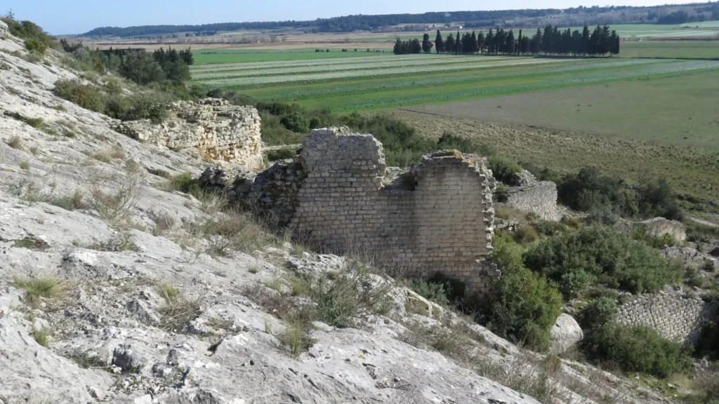
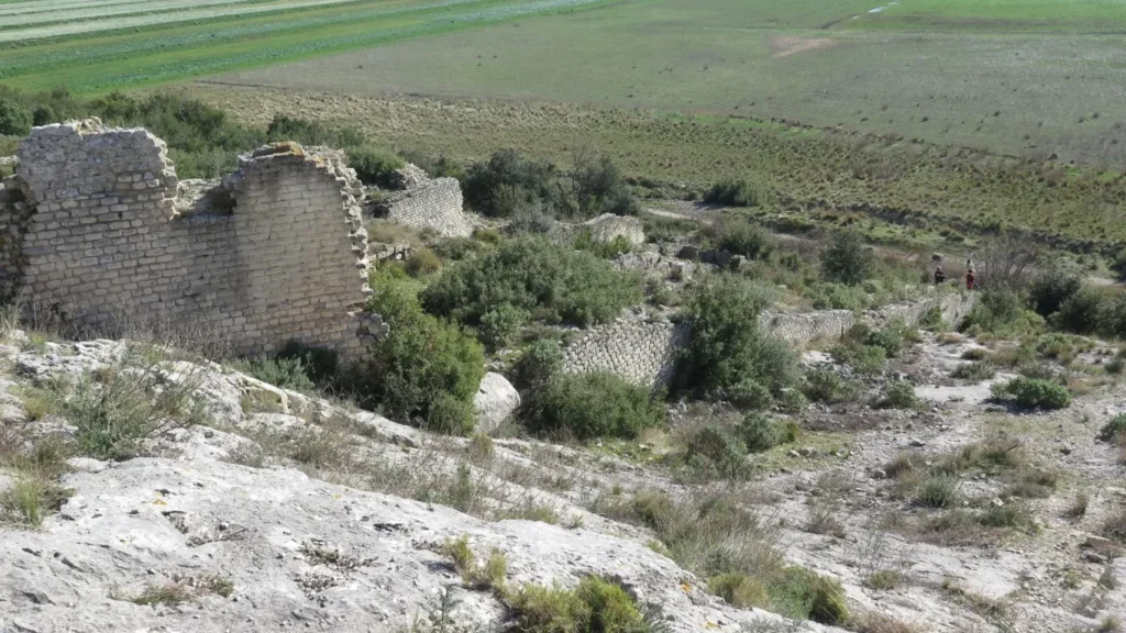
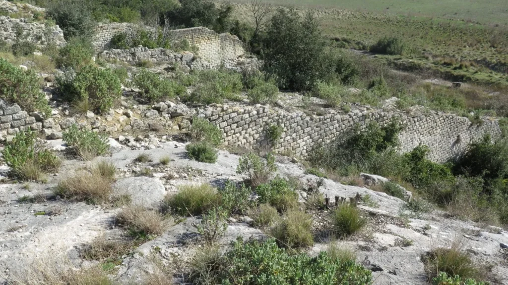
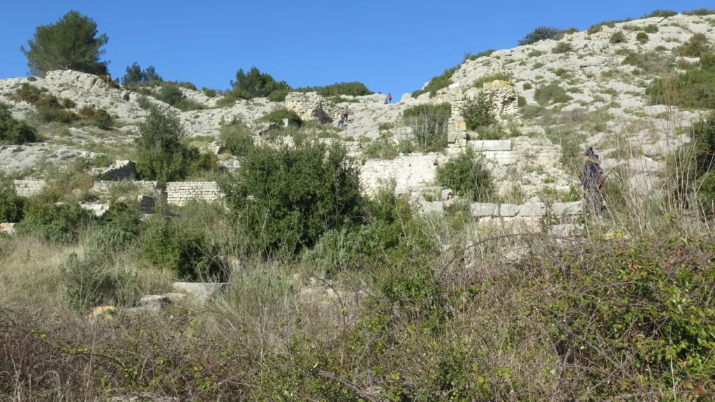
This is the mill or meunerie de Barbegal – in the commune of Fontvieille, some 3 km south of the Fontvieille windmills. The Barbegal mill was a grain mill dating back to Roman times, using water as a driving force. To bring water to the mill, the Romans built aqueducts, sometimes underground, sometimes overhead. One branch drew water from the northern Alpilles near Eygalières and ran along the north side of the massif via Saint-Rémy-de-Provence and Fontvieille. This branch of the aqueduct then bypassed the small Fontvieille massif to the west, returning eastwards to the milling site. A second aqueduct brought water from Le Paradou and Maussane areas. These 2 aqueducts met some 400 m north of the milling site. Continuing on, two parallel overhead aqueducts carry the water across a small valley over a distance of 300 m to the top of the hill on which the mill is located. Here, a breach cut into the rock brings the water to the southern side of the hill, where there were no fewer than 16 mills (two per level over eight levels and a difference in height of around 25 m). On the mill side, water was diverted into 2 canals to drive the mills’ paddle wheels.
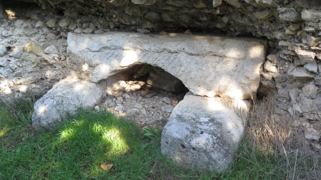
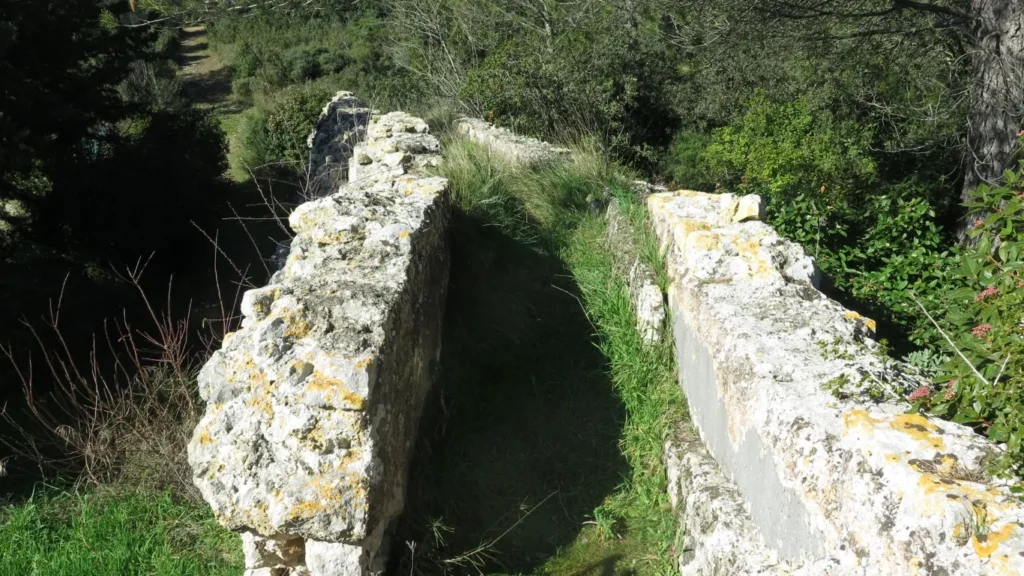

Remains of the 2 parallel aqueducts can still be seen. Not much remains of the mill – just enough to strike the imagination.
Why 2 aqueducts? The one on the west side is diverted just before the mill by a canal serving Arles (7 km away). The one on the east side fed the mill. When you arrive at the hilltop, you can see the remains of a regulation system which enabled water to be diverted from the Arles channel to the mill or diverted the mill to Arles when the mill was not in use.
It seems obvious that this mill could not have operated all year round, as there would not have been enough grain, and maintenance would have been a problem due to limestone accretions in the canals.
Researchers have estimated that this mill could develop a power equivalent to 50 kw. It is considered to be largest known deployment of hydraulic power in the ancient world.
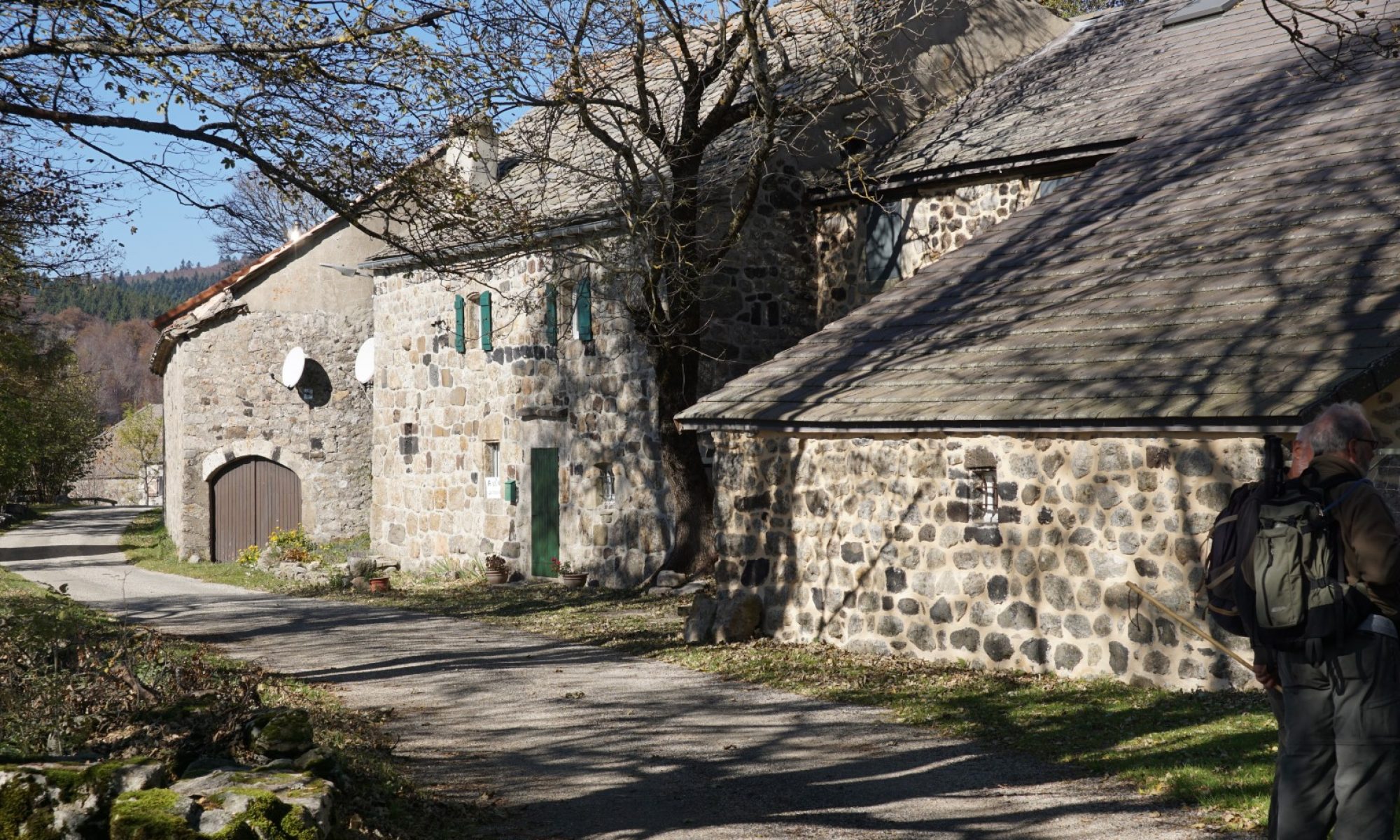
For this walk, we leave the car at the junction of the D82 and the road to Barbegal (location known as the Croix de Jousseaud). It is also possible to leave the car at the Roman aqueduct parking lot some 400 m further along the D82. The first part of the tour goes in search of remains of the aqueduct coming from Eygalières and Saint-Rémy. There are trenches, some underground canal entrances and a few small aqueducts. In some sections, the aqueducts seem to stretch for hundreds of meters underground. After a few kilometers, the trail branches off to the north to reach the Fontvieille windmills. There are 4 windmills on this circuit (the Daudet windmill, the Roucou windmill and 2 others). After the windmill sector, we head south again, crossing the small Fontvieille massif on well-maintained paths and arriving at the Vallée des Baux canal. In February, the canal is empty for maintenance. Refilling the canal take place around the beginning of March. After skirting the canal, we cross the D82 to head south and then west to the foot of the remains of the mill. From here, you have to climb over rubble and limestone slabs to reach the top and the cut-out in the rock for the water passage. Beyond, the remains of the 2 aqueducts come into view.

All that’s left now is to take a few photos and head back to the car.
A word of warning however. If you or your fellow hikers have balance problems, it’s advisable to start the tour of the meunerie from the north side (the aqueduct side). Climbing the meunerie hill through the rubble from the south side base requires a sure footing.