PNC = Parc National des Cévennes
When our club first put a hiking track online around 2012 we used a free blogging service hosted by the Montpellier based newspaper MidiLibre. The information consisted of a picture of a base map with the circuit superimposed in jpg format. No slippy maps, no altitude profiles, just still images and a few lines of text. Those days are gone and, incidentially so is the free blogging service once hosted by MidiLibre.
Things have changed enormously since then. The “Institut national de l’information géographique et forestière” or IGN for short has moved most of its services online. The WMTS service has become ubiquitous (in the many web and mobile apps for hikers) and the service is mostly free for non commercial use. Many websites now provide access to large databases of hiking routes (VisoRando and VisuGPX to name 2). These sites are open to the public for upload of route gpx’s descriptions and comments : social networks for hikers.
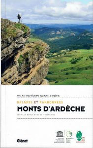
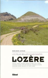
Before 2015, the Parc National des Cévennes published hiking foldouts in little booklets with a green folding cover. In our hiking club we purchased several. These collections of fold outs are now mostly obsolete – primarily because – no surprise – a hiking route is a perishable commodity. Yes these routes need maintenance and sombody has to pay for it. Sometimes the maintenance is taken on by the town councils, but now mostly this devolves to the next level of local government – the Communaute de Communes – or group of municipalities. Some of the routes in these old booklets are no longer maintained, some are still maintained and some are downright dangerous.
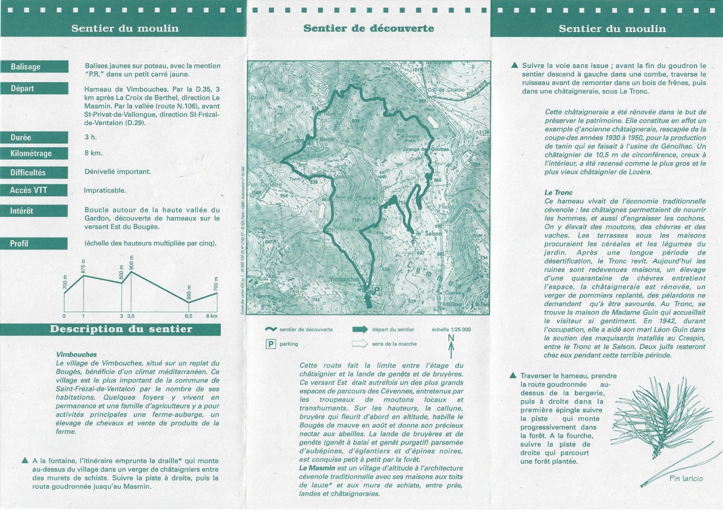
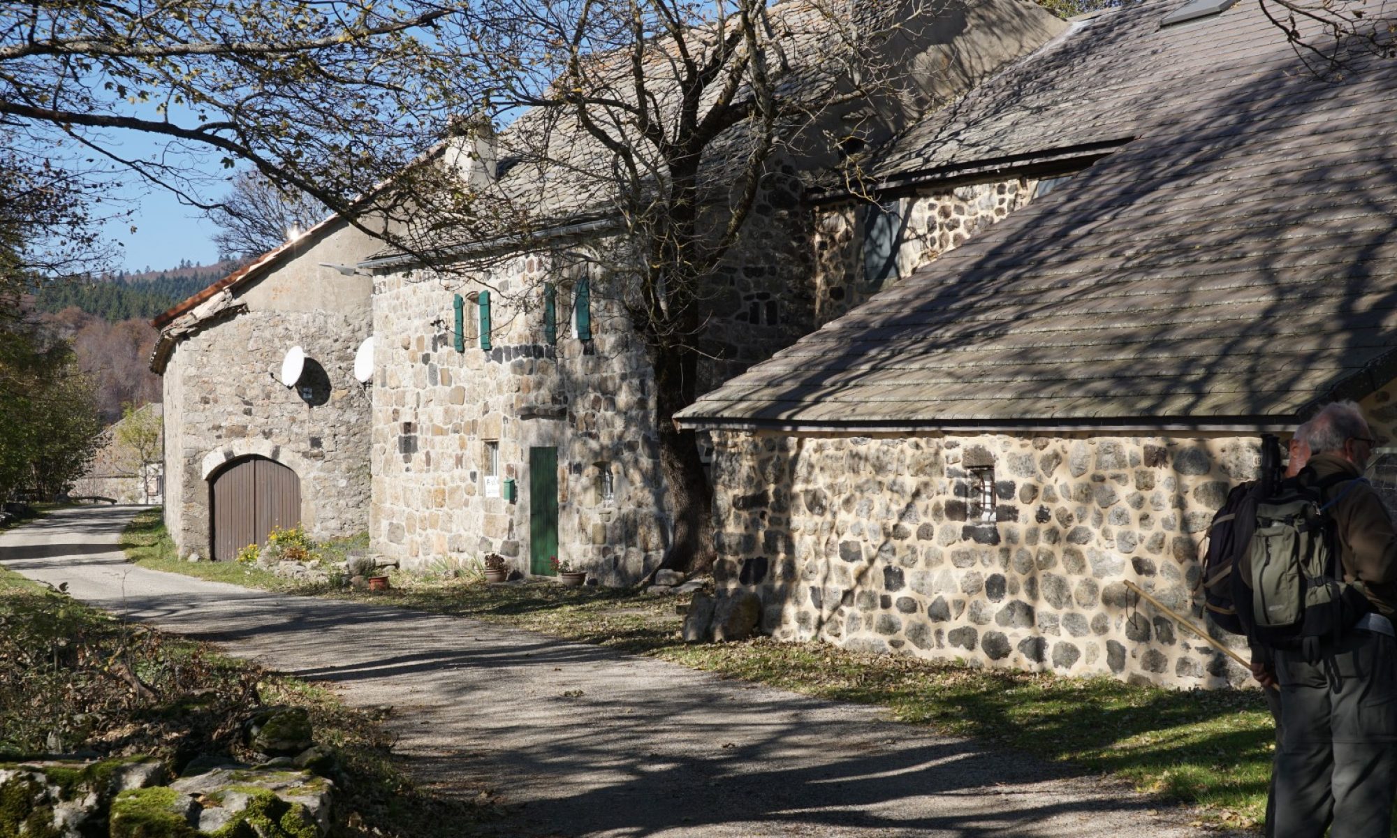
- Do not try to hike this route : not open between Le Salson and Vimbouches in Feb. 2021 due to landslip.
An example : In March of 2021 I had the misfortune to find, at the bottom of the upper Gardon valley between La Salson and Vimbouches, that a good part of the uphill trail to Vimbouches, formerly a ledge along the ravine edge, had simply disappeared under a landslip. The trail was no longer and there were only 2 choices. Backtrack and hike 6 or 8 extra kilometers to reach the car, or crawl across an unstable landslip sloped at 30 degrees, above a 4 m drop into a ravine. At 4 pm on a short winter’s day, the first option meant hiking past nightfall. The second seemed like the best of 2 poor choices. So Let’s go. It took about 40 minutes to cross a 20 metre stretch of the landslip, feet dug in at the base, hip and shoulder on the wet vertical bank most of the way. Progress was slow since any abrupt movement caused the loose materiel to slide downward. In the end there was no sudden visit to the bottom of the ravine but there were several tense moments.
So printed information and booklets of fold outs go out of date. That’s the bad news. The good news is that the Parc National des Cevennes has come on strong in the past 5 years by moving much data online and curating the data so that any hiking route visible on their online service is actually maintained, safe and usable on the ground.
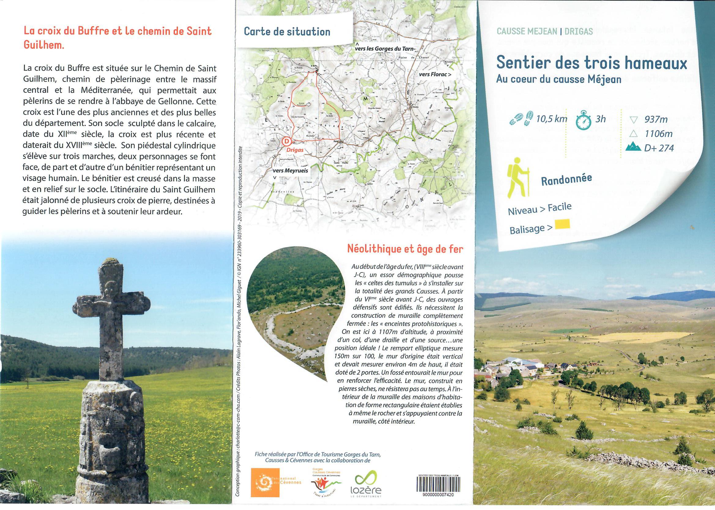
Printed information, better in quality and consistent with the online version, is also still available. Recently in the Tourist Office of Meyruies in the Jonte river valley, I found the ones pictured below. Ten hikes in trifold format in each booklet and, best of all, the same data is accessible online including downloadable GPX files.
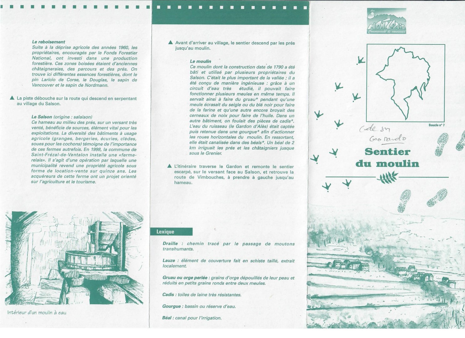
Below is an example of the trifolds for a hike near Meyrueis.
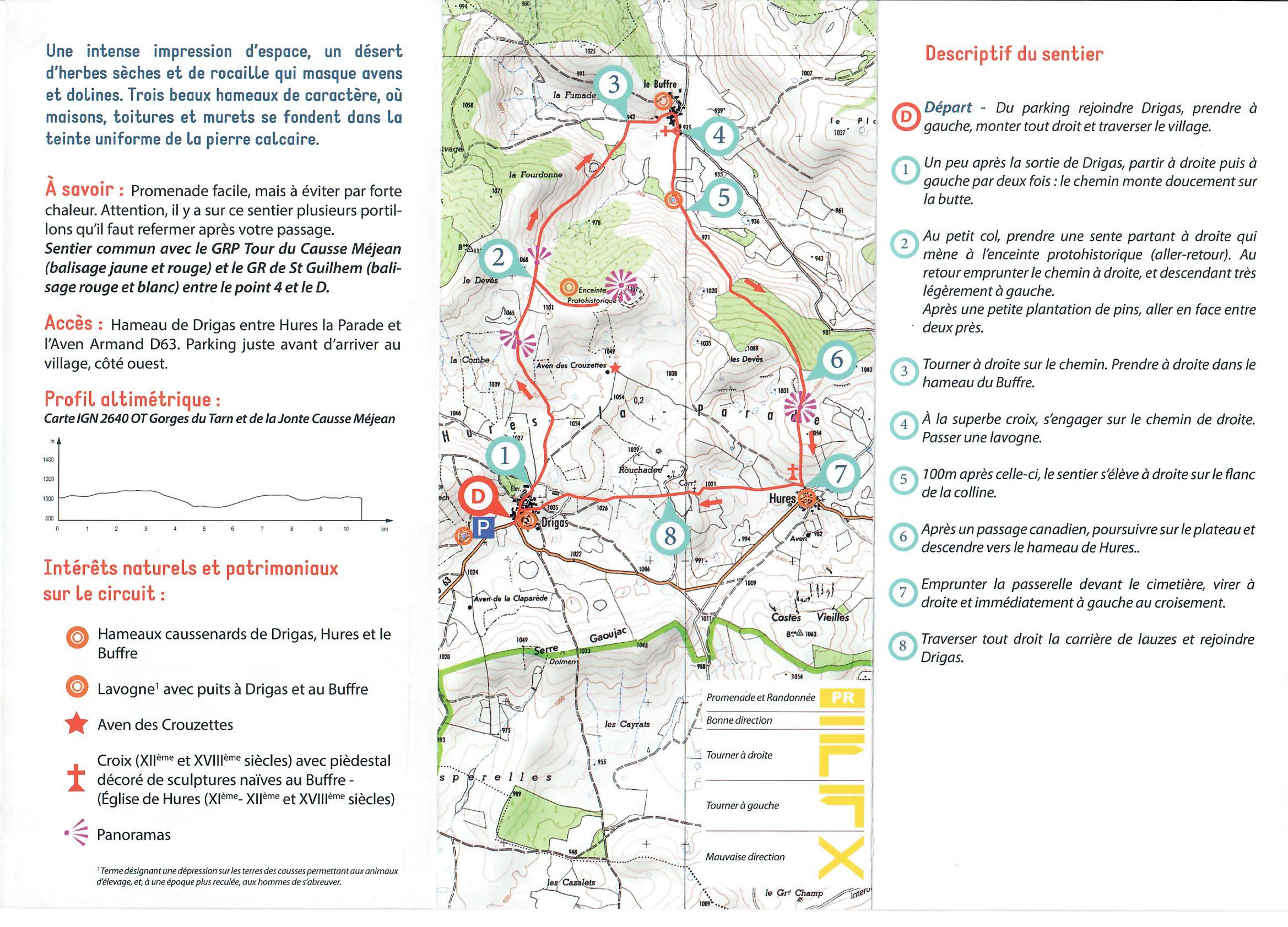
Here is the same data online .