Dateline November 2024 : The hiking track database has been updated with approximately 90 new circuits in the area -the total now exceeding 800. This new version also updates all the dates of “most recent use”. As usual this date is intended to help determine the “freshness” of the data.
Mapping software update
Starting from 1 February 2022, the French mapping institute (IGN : Institut Géographique National renamed to Institut national de l’information géographique et forestière) implemented new API’s and new API keys for use of their WMTS mapping service. As a result, IGN base maps may have been unavailable on this site for several days, It took some time to understand the implications and make the necessary software changes. At present, most of the necessary modifications are complete and maps should display properly.
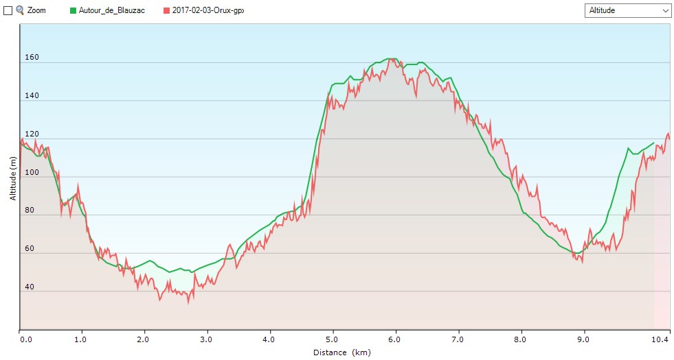
A bad day for measurements
Here are the results of another try at comparing GPS track logs – in particular the elevation profiles – between different devices and applications.
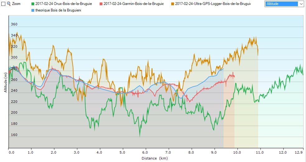
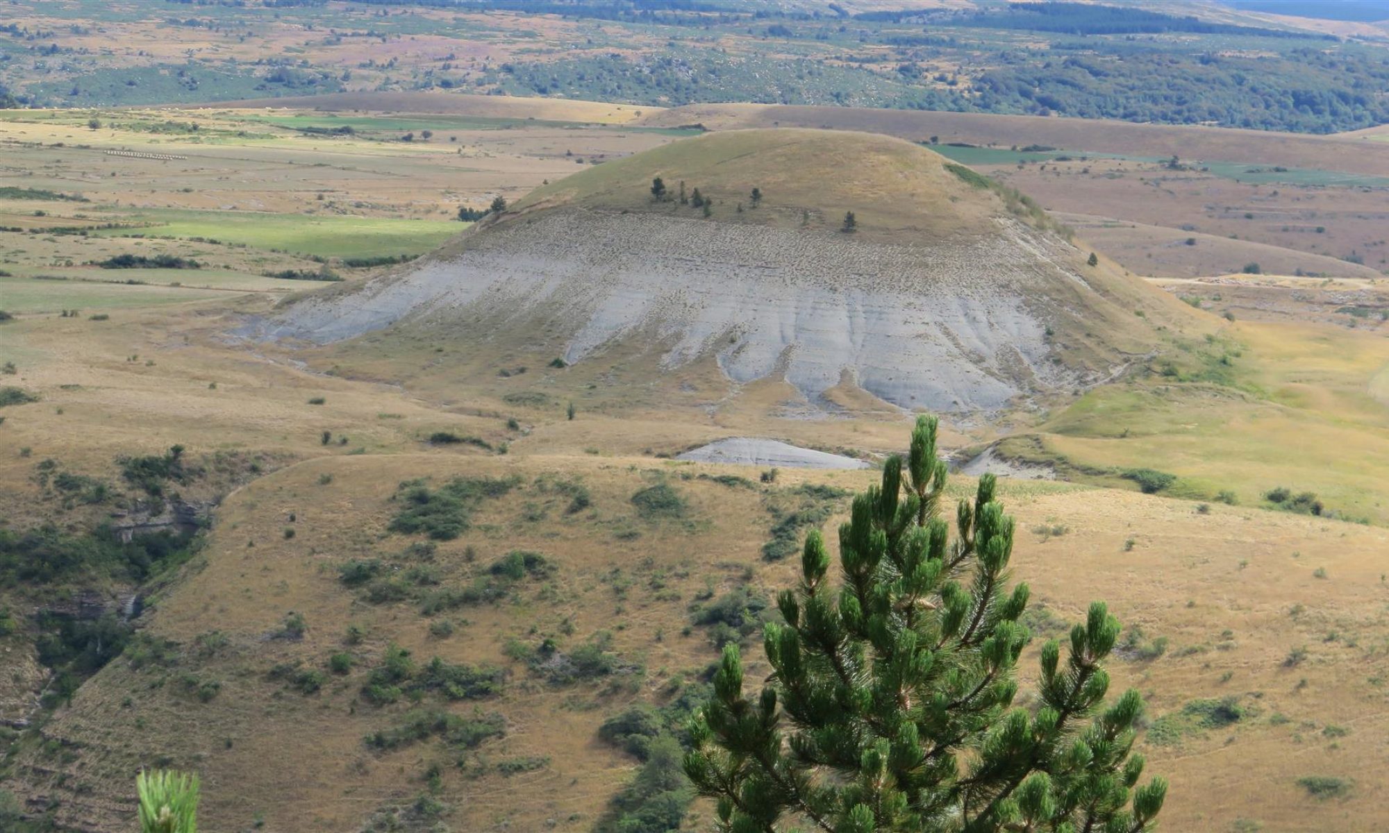
The weather was fine, if a bit cold with gusty winds. The hike was mostly in open terrain or on wide forest tracks. Less than an estimated 20 % of the track was under forest cover. The devices and apps are : Continue reading “A bad day for measurements”
WordPress mapping plugins
 This site, built with WordPress, uses a couple plug-ins for mapping. They are Leaflet Map and WP-GPX-maps.
Leaflet Map
Leaflet map allows you to display a track on a map background. The plug-in allows for use of OSM maps via MapQuest. To use MapQuest you need to sign up for an API key from their website, and for modest use like this website, the API key should be free. However, I opted not to use Mapquest. This is France and France has the IGN (Institut National de l’Information Géographique et Forestière). This institute publishes folding paper maps at many scales and the 1:25000 scale maps are outstanding for hikers. It seems that every department in the country has a hiking trail plan and these trails are all marked on the IGN maps. One point of warning though. The paper versions are sometimes out of date. Continue reading “WordPress mapping plugins”