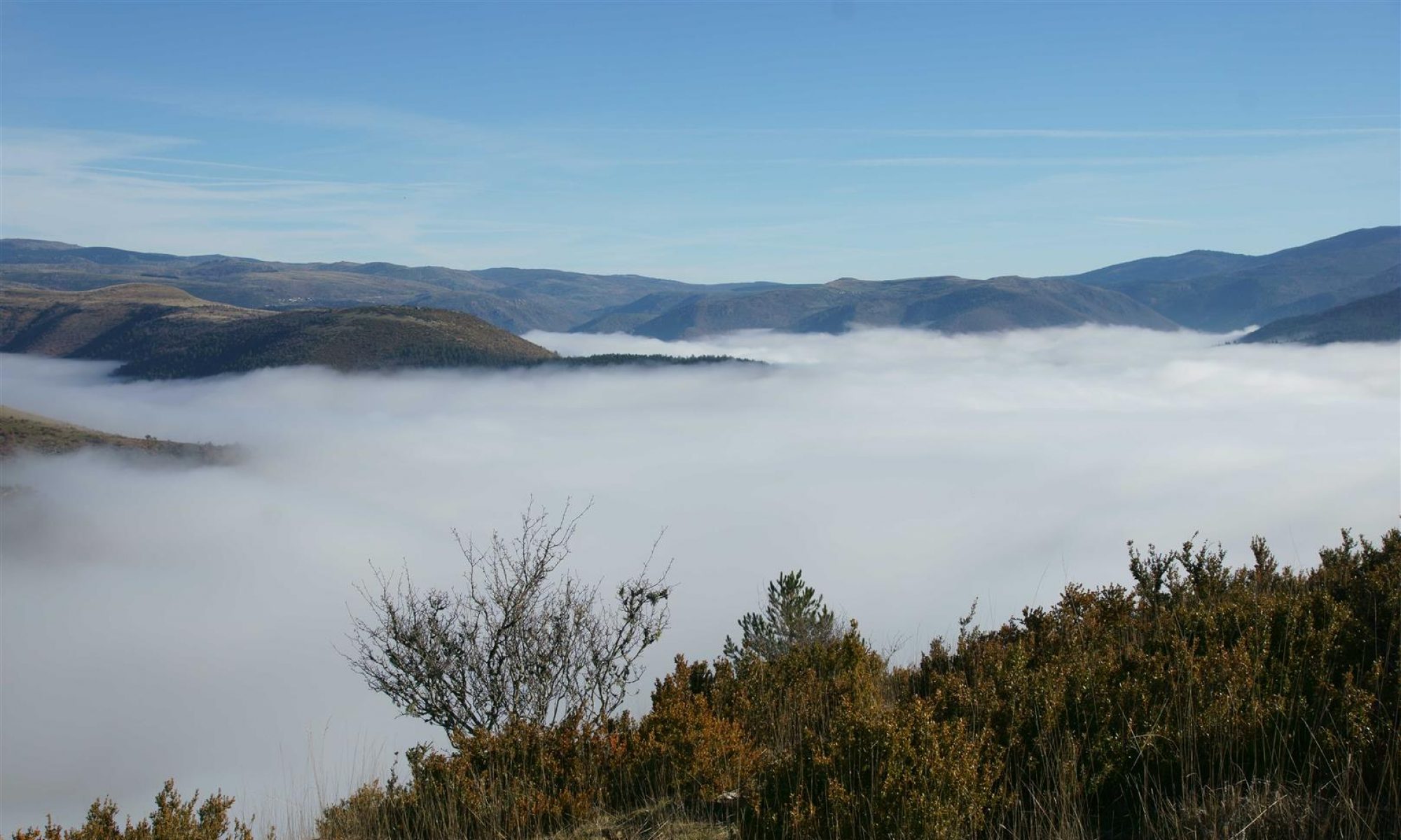
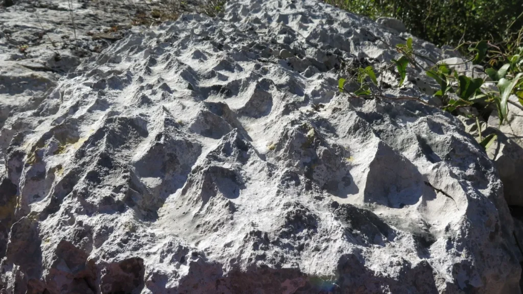
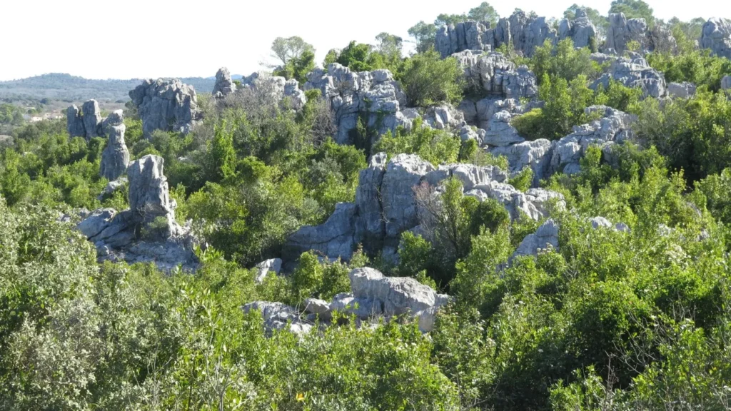
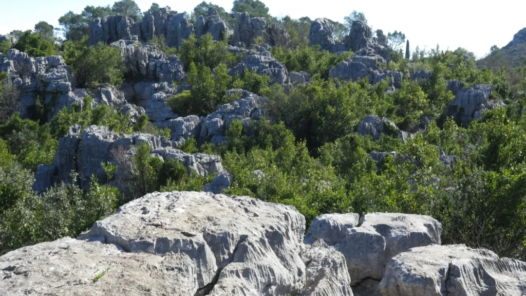
In the Languedoc/Cévennes region, strange rocky outcrops and boulder fields are very common – a result of erosion affecting the limestone differently depending on its chemical composition. These rocky boulder fields include the Montpellier-le-Vieux site near Millau, the cirque de Mourèze in the Hérault, and the Païolive wood near Les Vans in the Gard. Although best-known, they’re far from the only ones. On walks in the Coutach near Sauve, on the Granzon plateau in Banne, near the Cocalière cave in Courry, or on the Gras plateau near Balazuc, we often encounter the same strange formations.
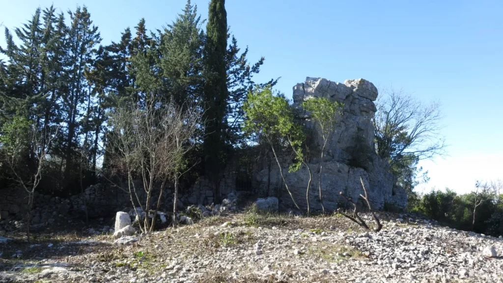
The « mer des rochers » near Sauve is a rocky boulder field on the edge of the Coutach plateau with a history of agricultural use. How to farm these rocky landscapes ? You have to remove the stones from the (rare) flat bottomed basins, and add retaining walls to keep the soil in place. Recall that this area is subject to intense episodes of rainfall in autumn and soil run off is a major problem. At the « mer des rochers » – easily accessible from the heights of the old village center – farming was intense until the 19th century, then gradually abandoned. All that remains are walls, gateway pillars without doors and footpaths. A castellas and the Château de Rocqueviaire (voir plus) also bear witness to the region’s rich past.
For this short walk, we leave the car in the parking area by the D999, on the left bank of the Vidourle below the village of Sauve, and set off at first to discover the fountain and the old village centre.
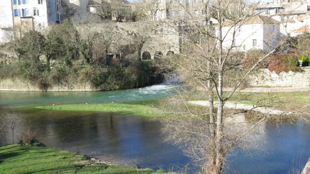
The “fountain” deserves an article of its own. At this place a subterranean river re-emerges from the base of a rock face. The Vidourle river, flowing above ground below the village, loses a considerable portion of water at an upstream “perte” (1) near the ruined Château de la Roquette in St-Hippolyte-du-Fort. The subterranean river has taken a circuitous route below the karst landscapes between St-Hippolyte and Sauve and rejoins the above ground river bed here in Sauve.
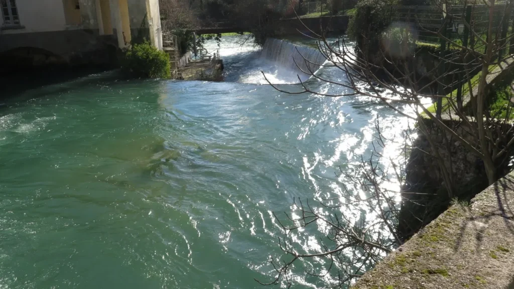
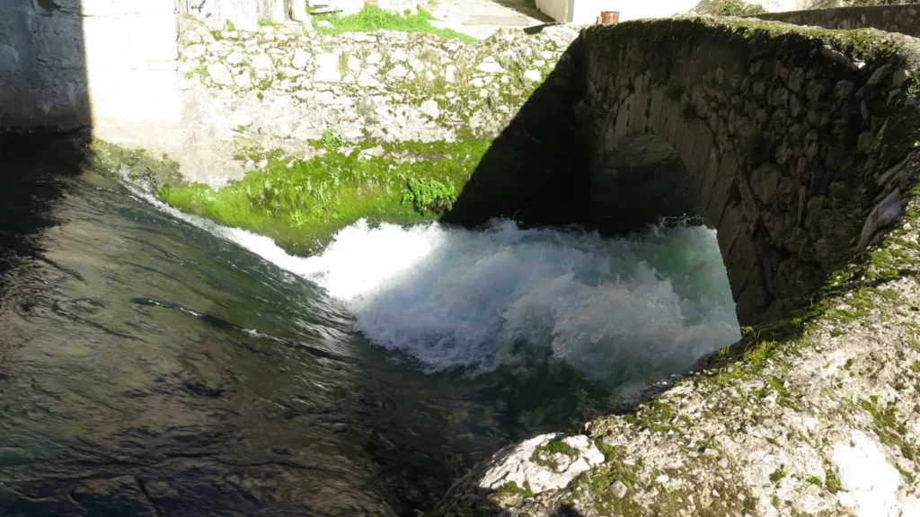
Flow volume varies considerably with the seasons. In February 2025, after the heavy rains at the beginning of the year, the water outflow is deafening. But in summer the fountain can be very quiet.
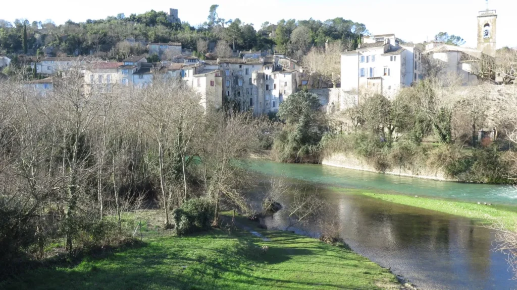
Next it’s uphill through the old village, where you can see a number of buildings that bear witness to former wealth (mint, town hall).
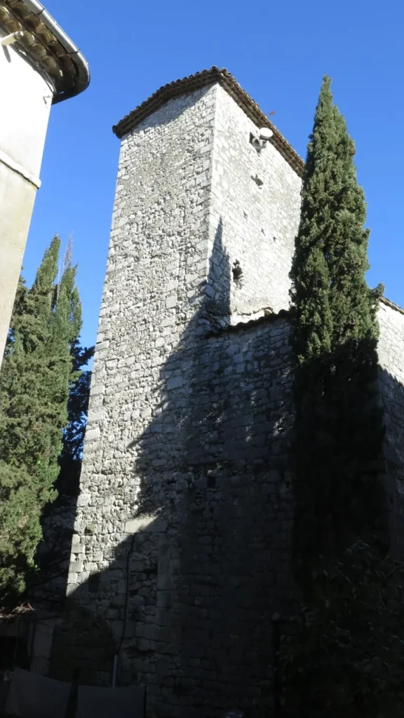
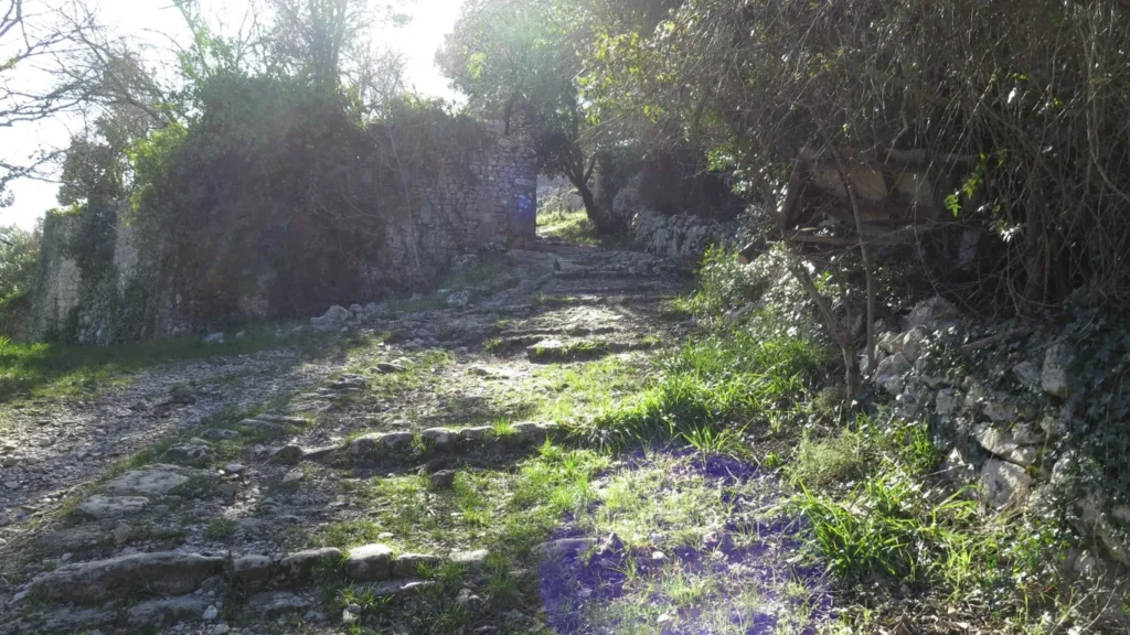
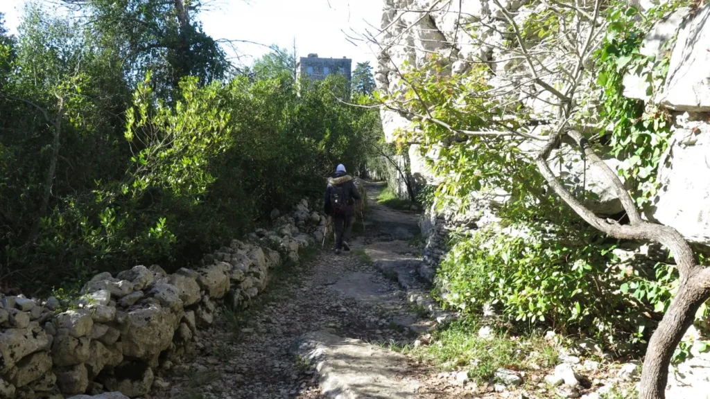
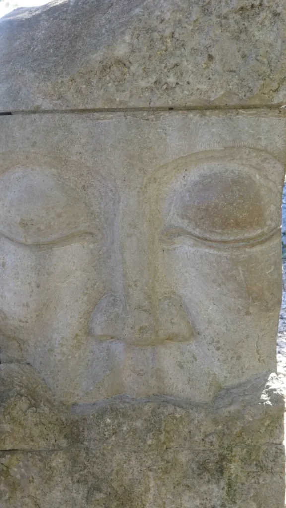
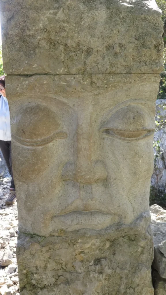
At the top of the village, a winding path leads up to the plateau. On this outing we followed the loop to the left towards Rocqueviaire (the gpx below suggests turning right but either way is fine). Along the way, you’ll see the Château de Rocqueviaire, then the Aven de Sauve (beware : no protective fence).
On this outing we couldn’t continue to the Grotte de Diou-lou-Garde because the owner had placed a chain across the path. Yes there are still private properties in this ocean of Rocks.
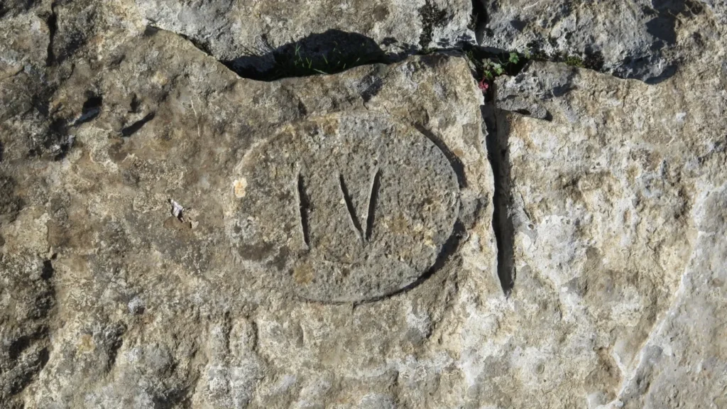
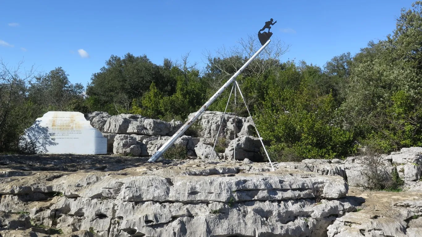
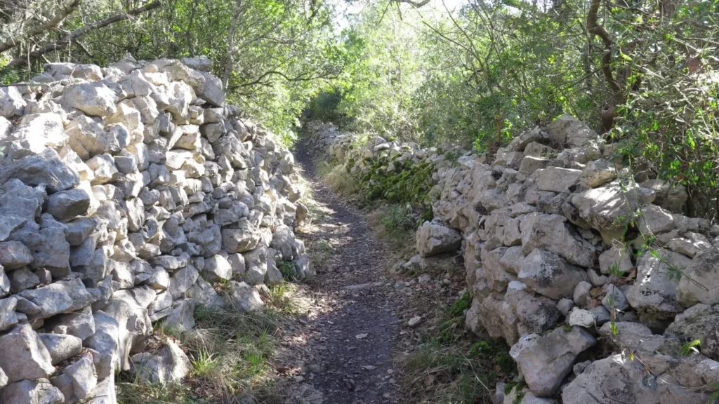
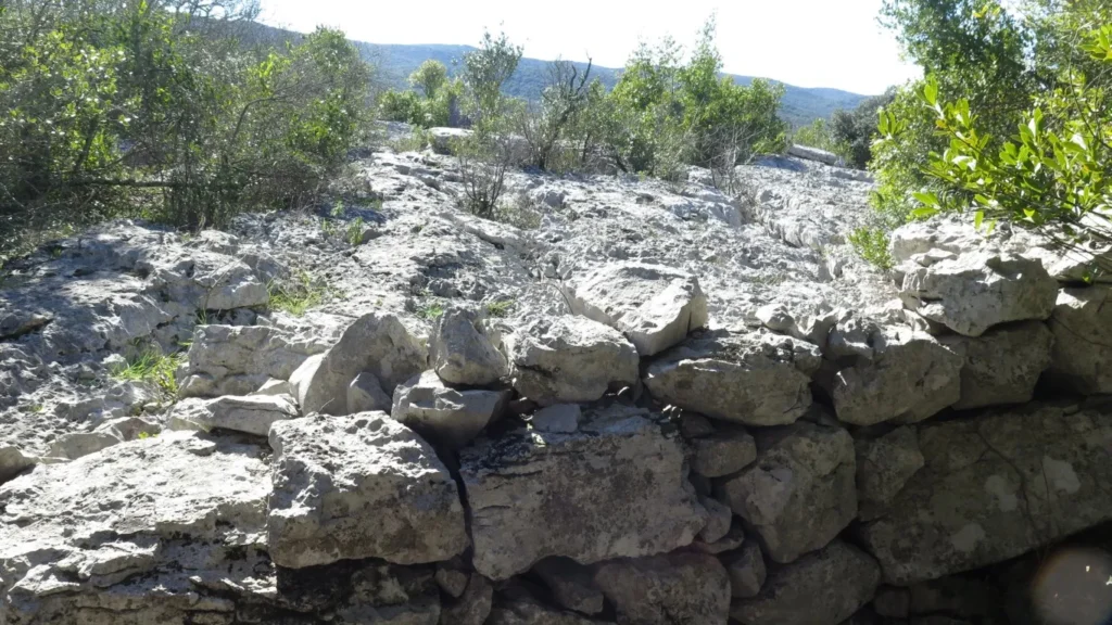
The path is fairly easy at first. In the last quarter of the loop, however, after observing the sundial, the walking gets a lot more difficult. You have to scramble up and down through a boulder field, using your hands frequently.
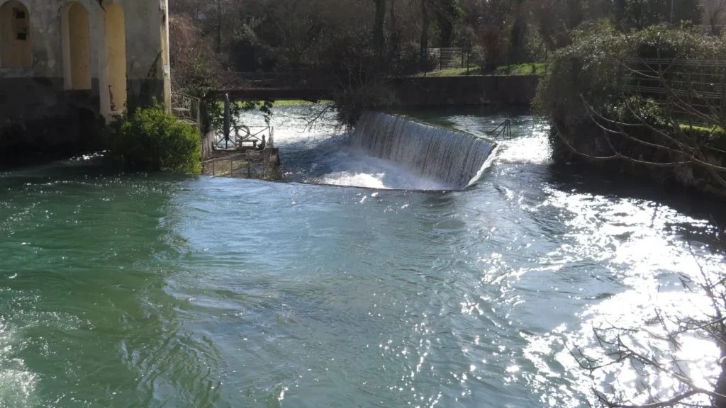
Finally, we head back down through the old village and departure point by crossing the Vidourle on a pedestrian footbridge downstream from the fountain.
(1) loss (or “perte” in french) refers to a place, usually in limestone or karst landscapes, where a portion of a river disappears underground.