A walk in the Chateauneuf vineyards

Hiking distance : 10 km ; Hiking time : 3 hr

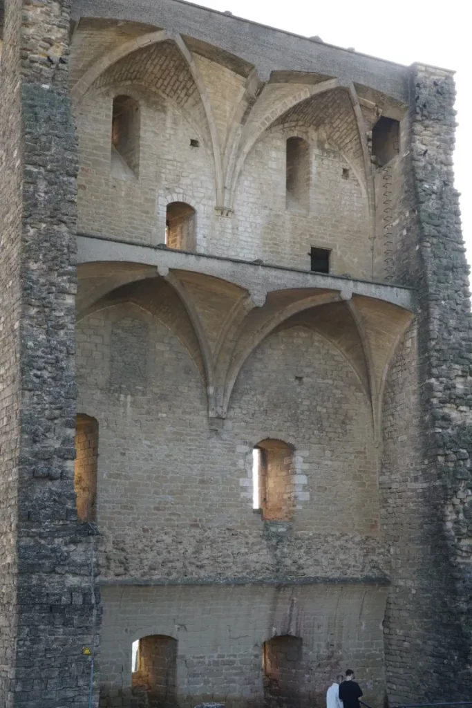
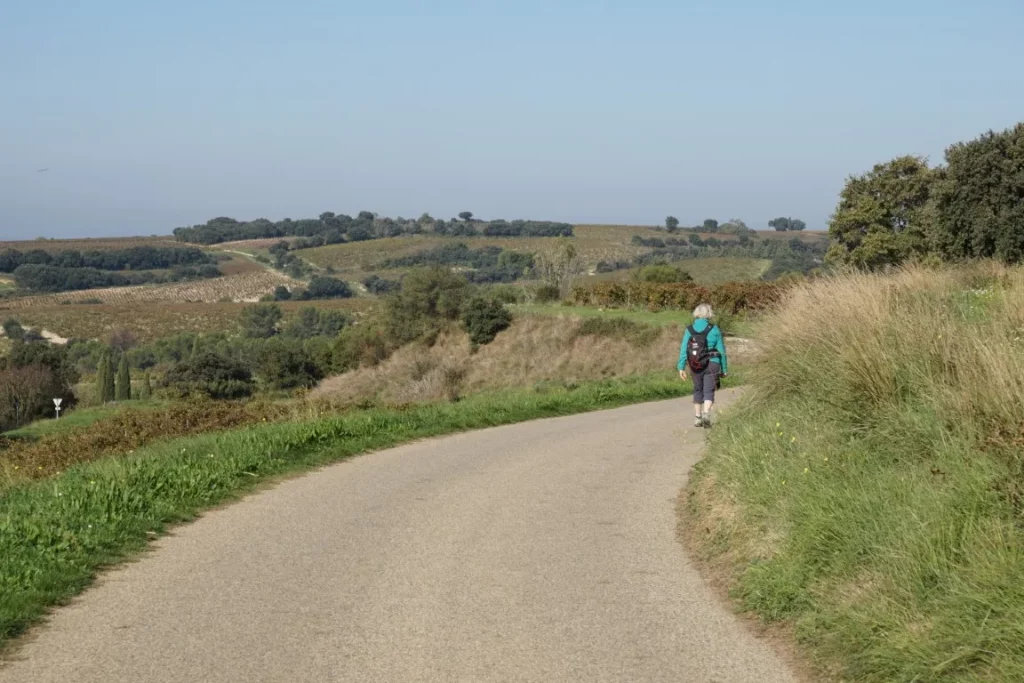
On a November 1st holiday, what better idea than to take a stroll through the vineyards. We chose the village of Châteauneuf-du-Pape. This village, known for its wine growing, should also be better known for its landscapes and historical heritage – starting with the château itself, which dominates the village. Built in 1317, the château has an extremely eventful history. Pampered by the Popes during their presence in Avignon, the château was variously sold, abandoned, occupied by the Huguenots during the 16th century wars of religion and then the Germans in the 20th century. It was the latter who, fleeing Provence in 1944, detonated an ammunition depot, leaving the château as it is today (a large standing wall facing south and the exposed interior of the castle keep facing north).

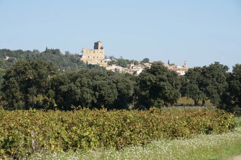
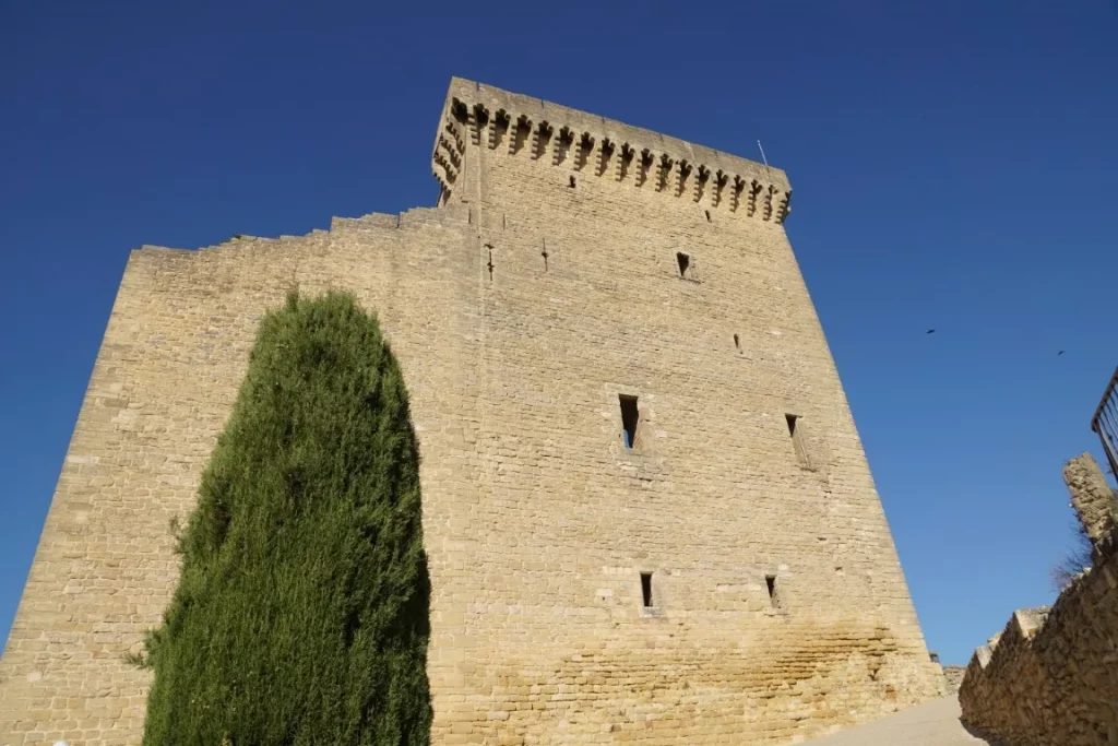
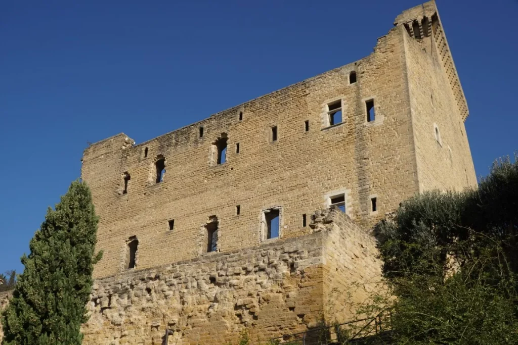
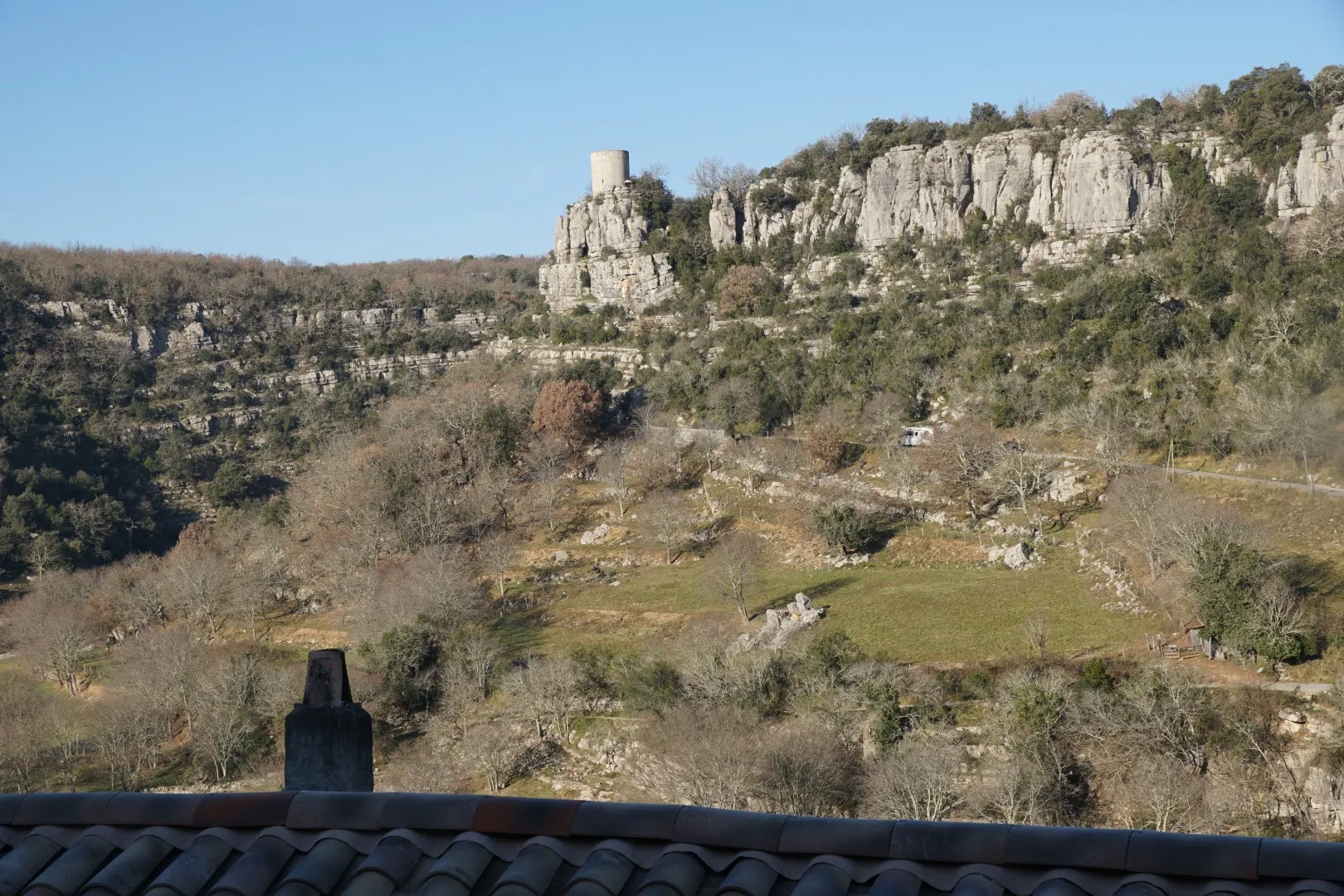
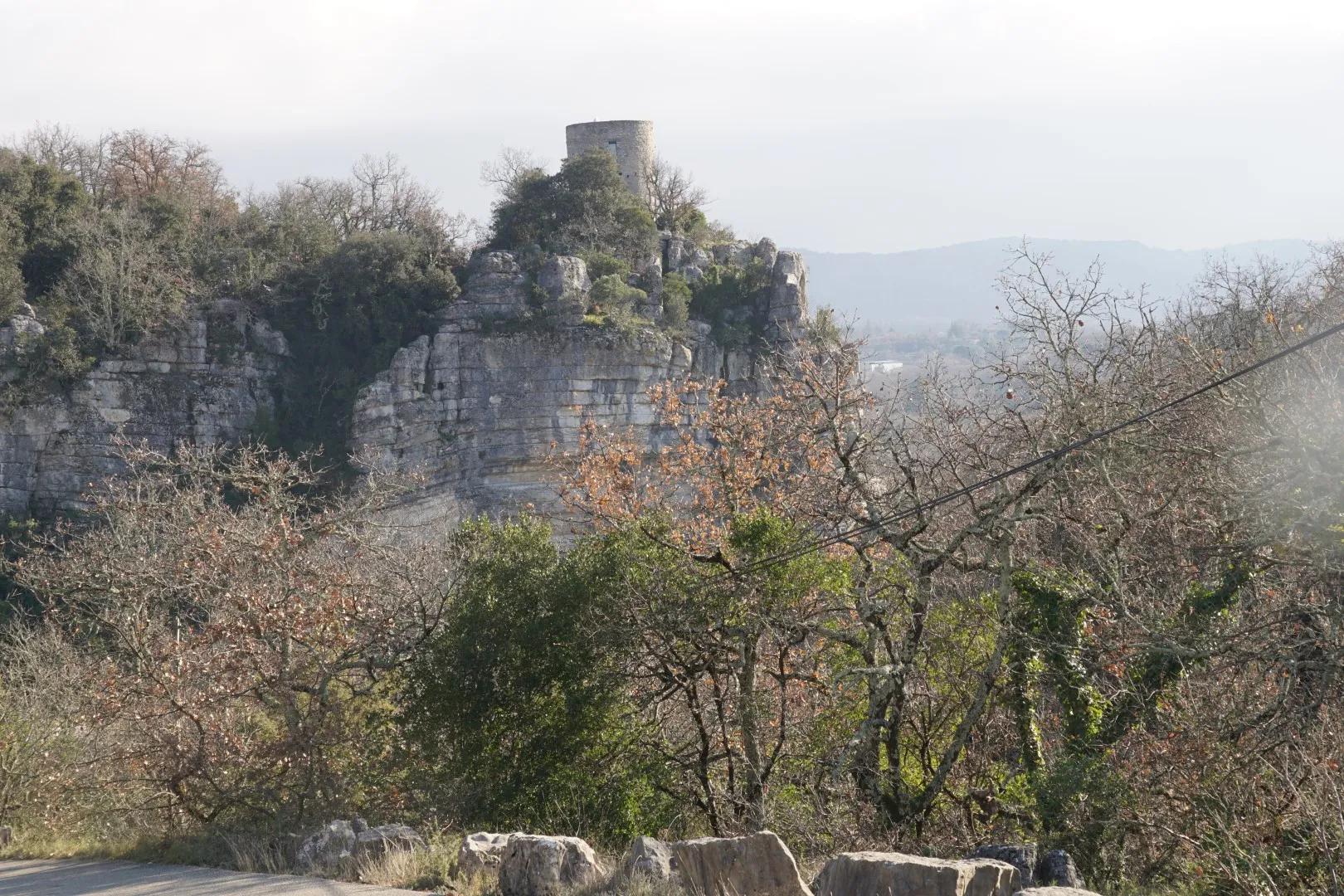
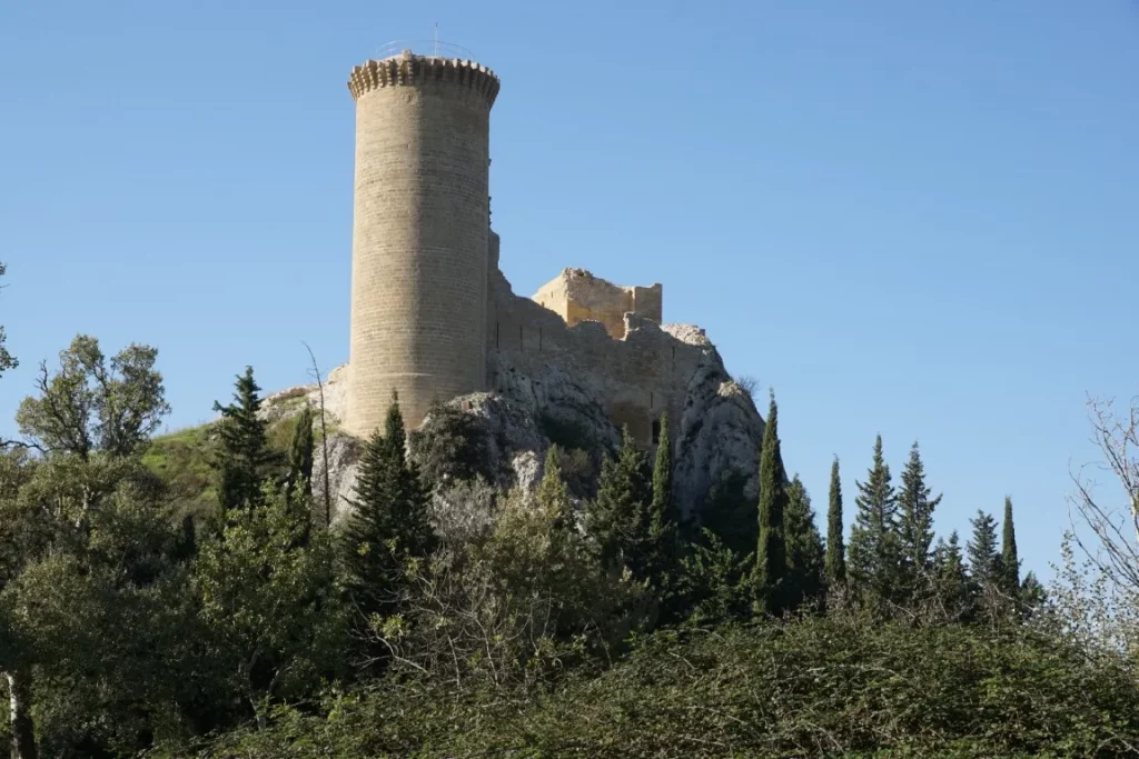
Our tour starts from the parking area at Place de la Renaissance in Châteauneuf (market on Fridays) and winds through the town to the hilltop château. After climbing the steps and circling around the château, we head on along a ridgeline and then downhill through the vineyards to reach the Rhône river plain. Here, after a few kilometers, we arrive at another château, the Château de l’Hers. This château, which could be described as an old “château du Pape”, features a well-constructed keep and a fortress wall still standing on top of a rock right on the banks of the main watercourse of the Rhône. The château was apparently built on an island in the middle of the Rhône but today, its position on the ile de l’Oiselet appears to be right on the left bank of the river. A curious anecdote – the château was an enclave of Languedoc on the left bank of the Rhône in the Middle Ages, but is now well within the Vaucluse departement. The property, now privately owned, was once used to police Rhône river traffic and collect tolls. (How else could one finance oneself in the Middle Ages?)

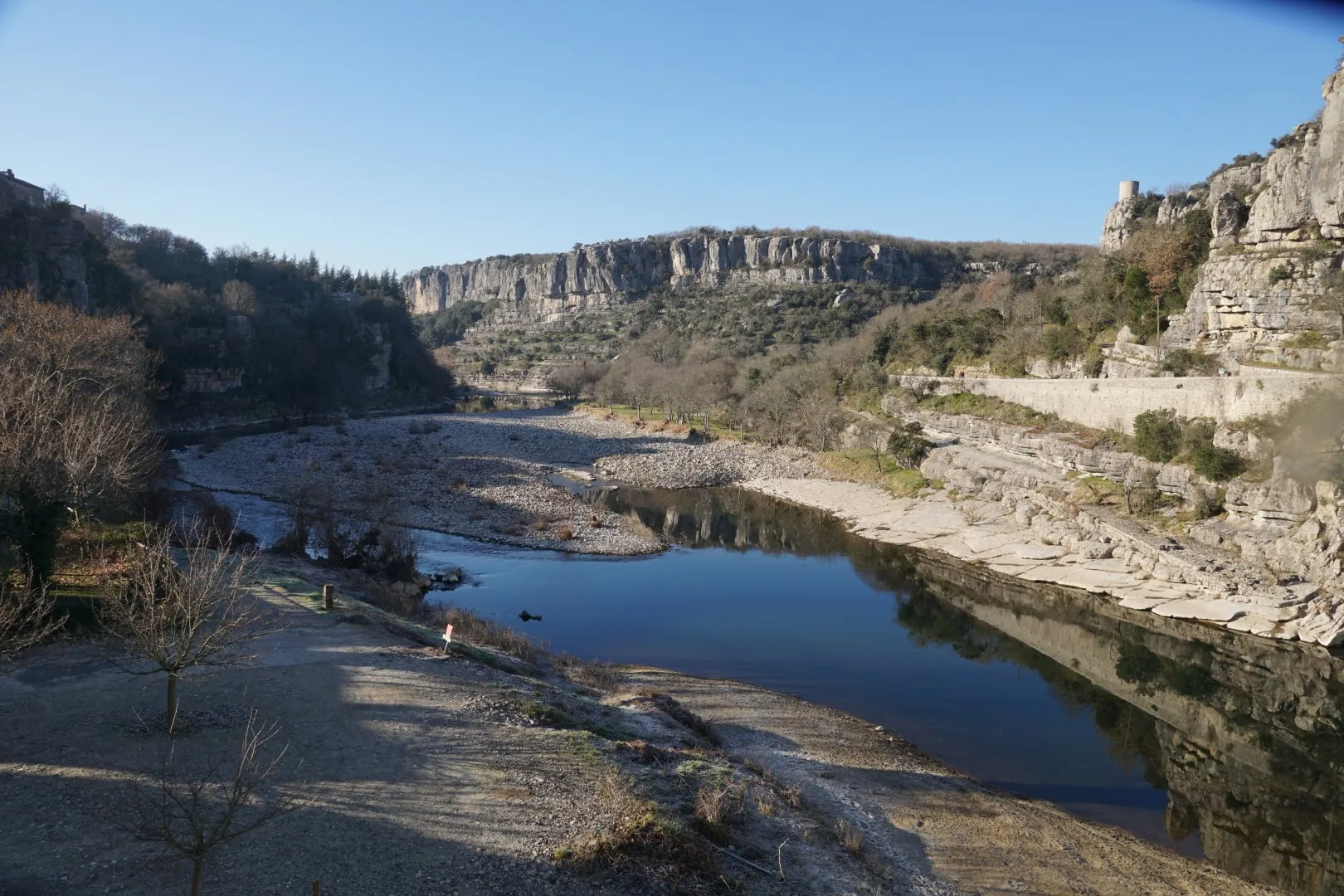
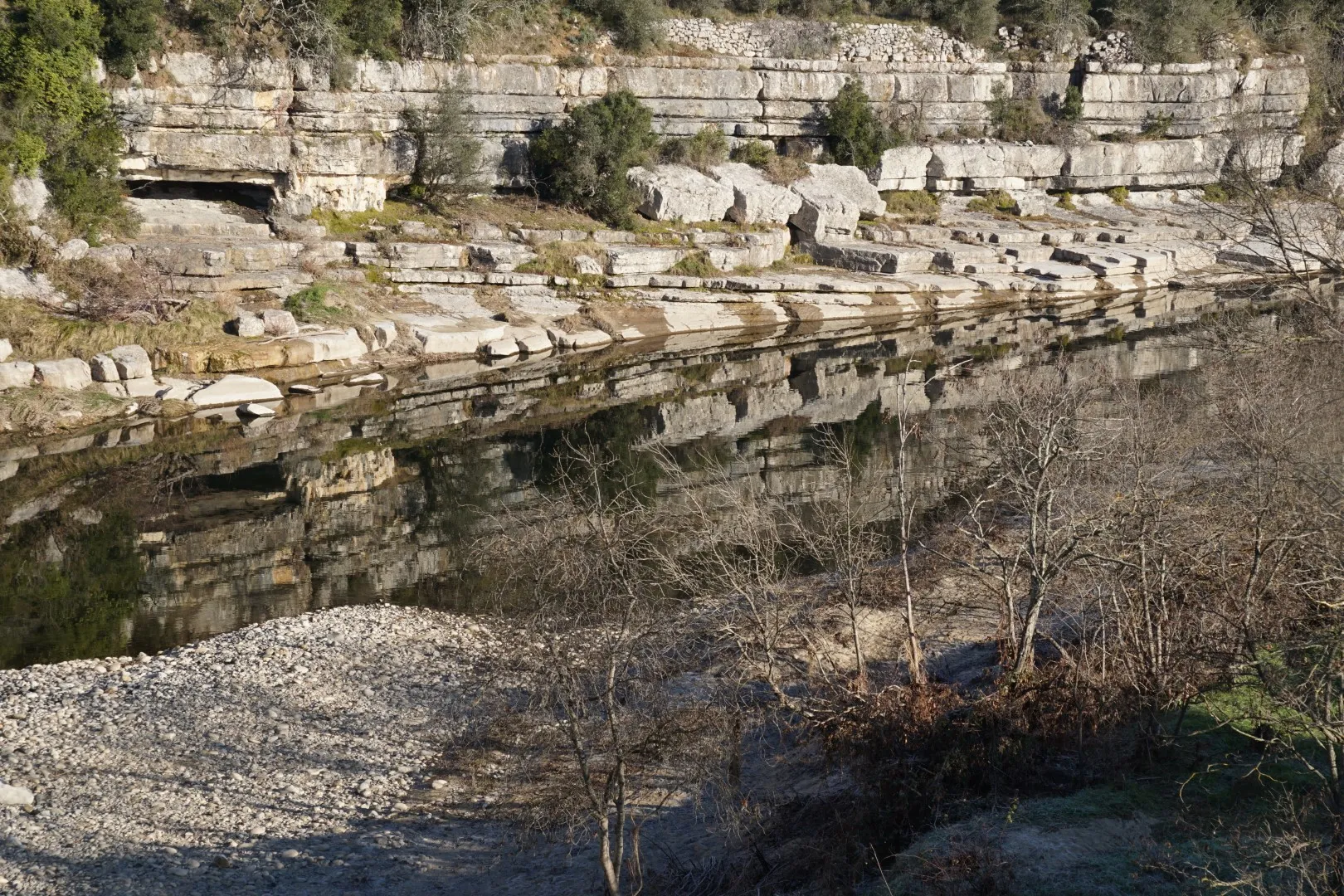
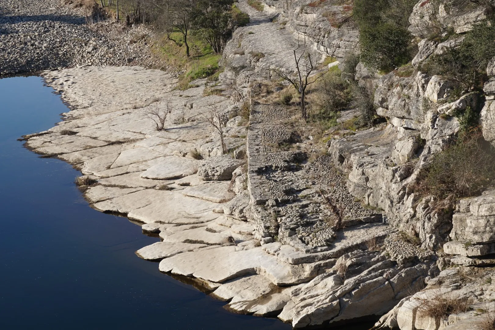
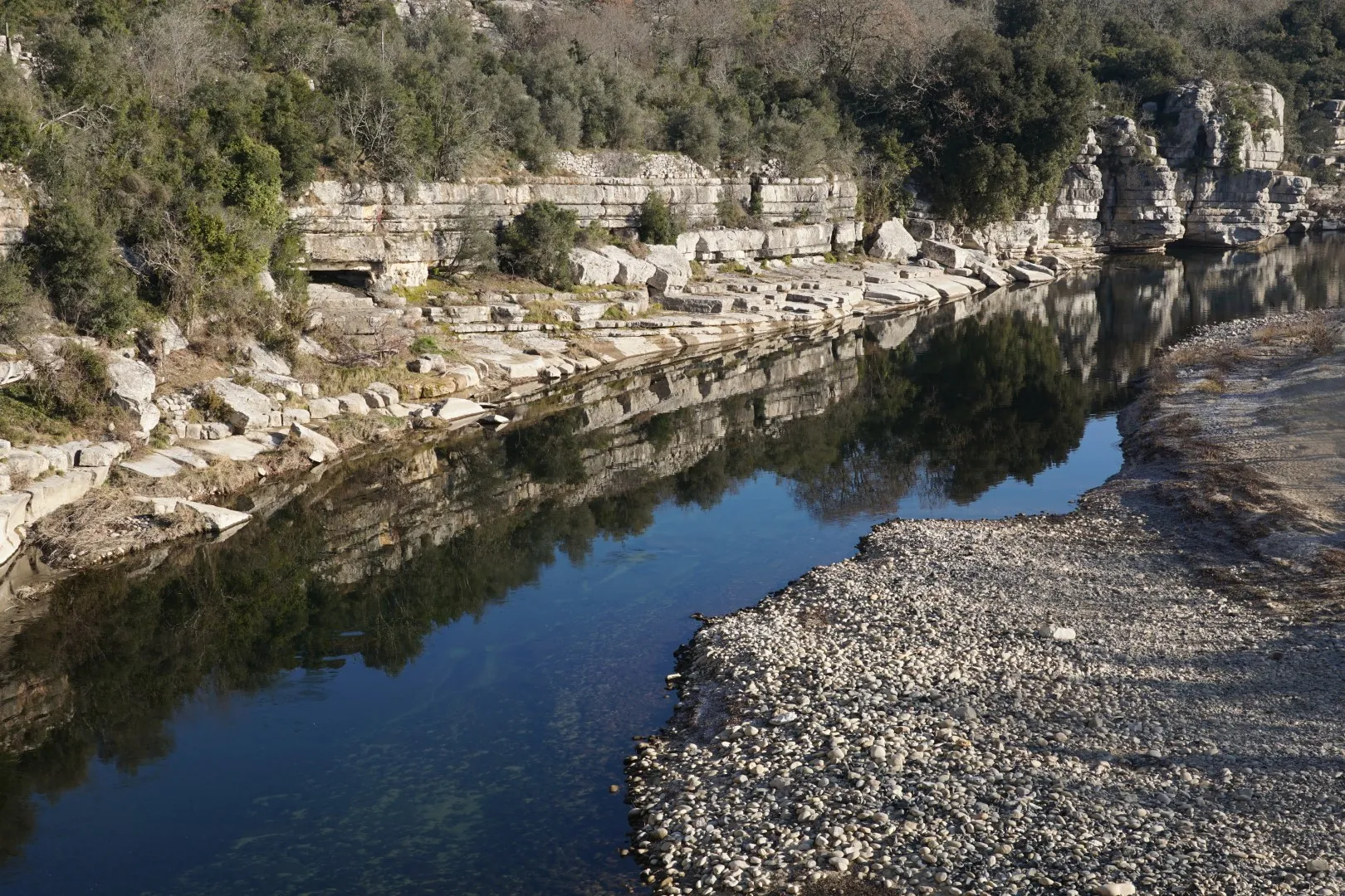
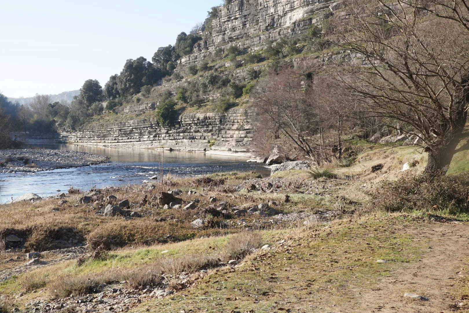
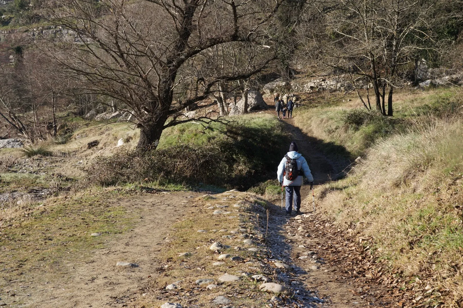
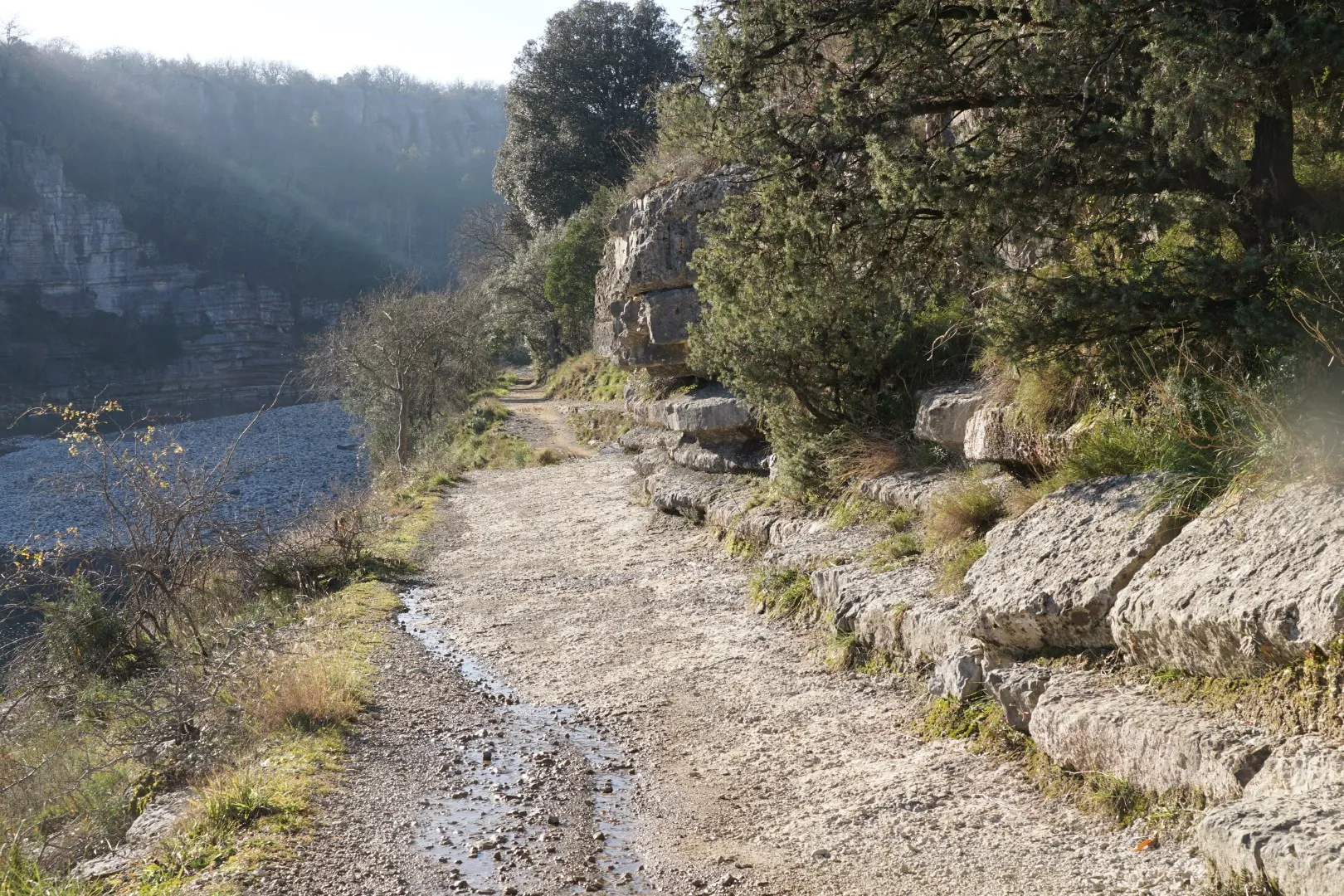
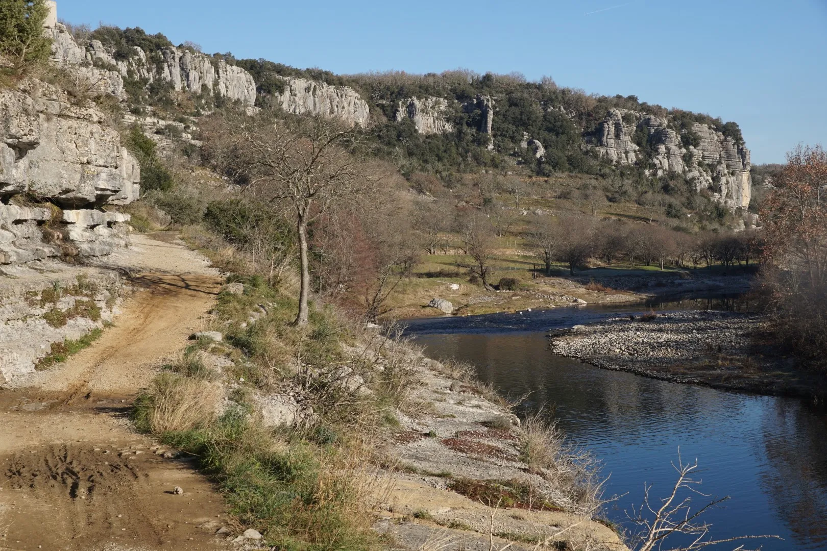
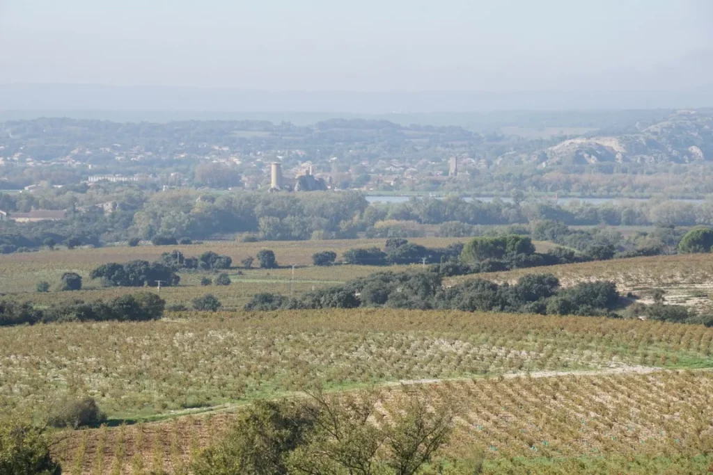
After a glance over the Rhone embankment – the river is not in flood this day – we walk for a long spell along the left bank of the Rhone’s minor branch, past old lime kilns and then branch off directly to return to our starting point. On this last stretch, there are beautiful views over the village of Châteauneuf, with Mont Ventoux in the background.

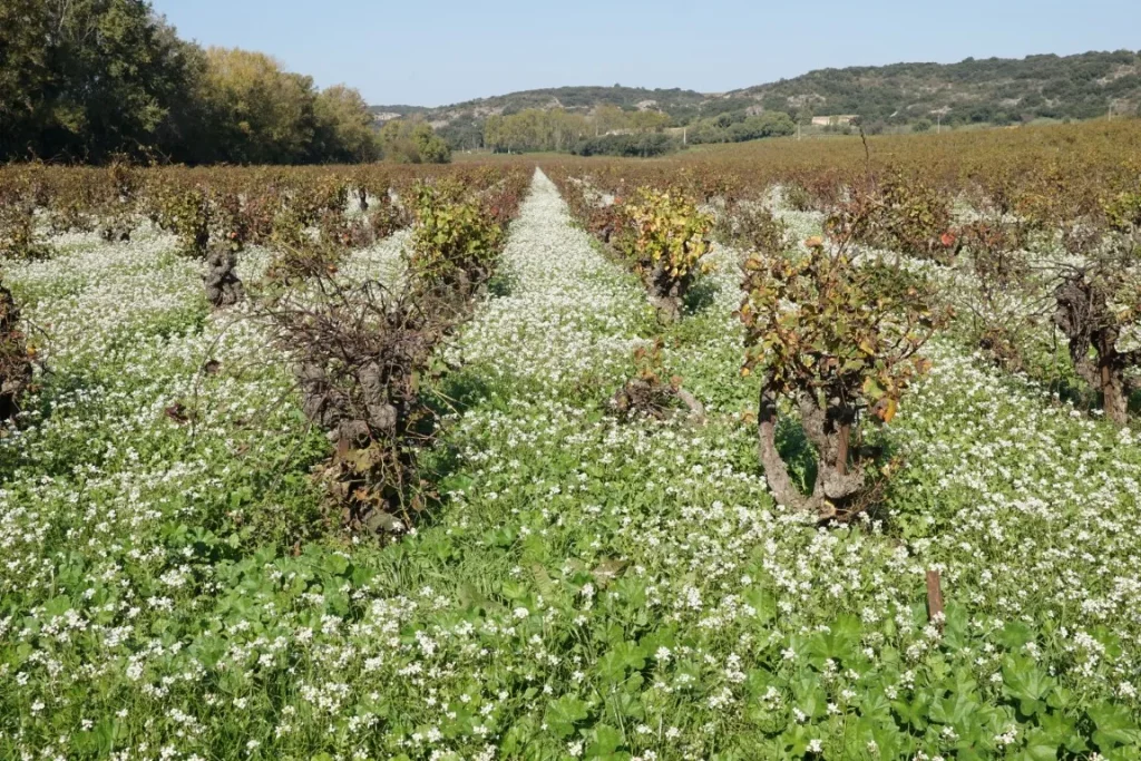
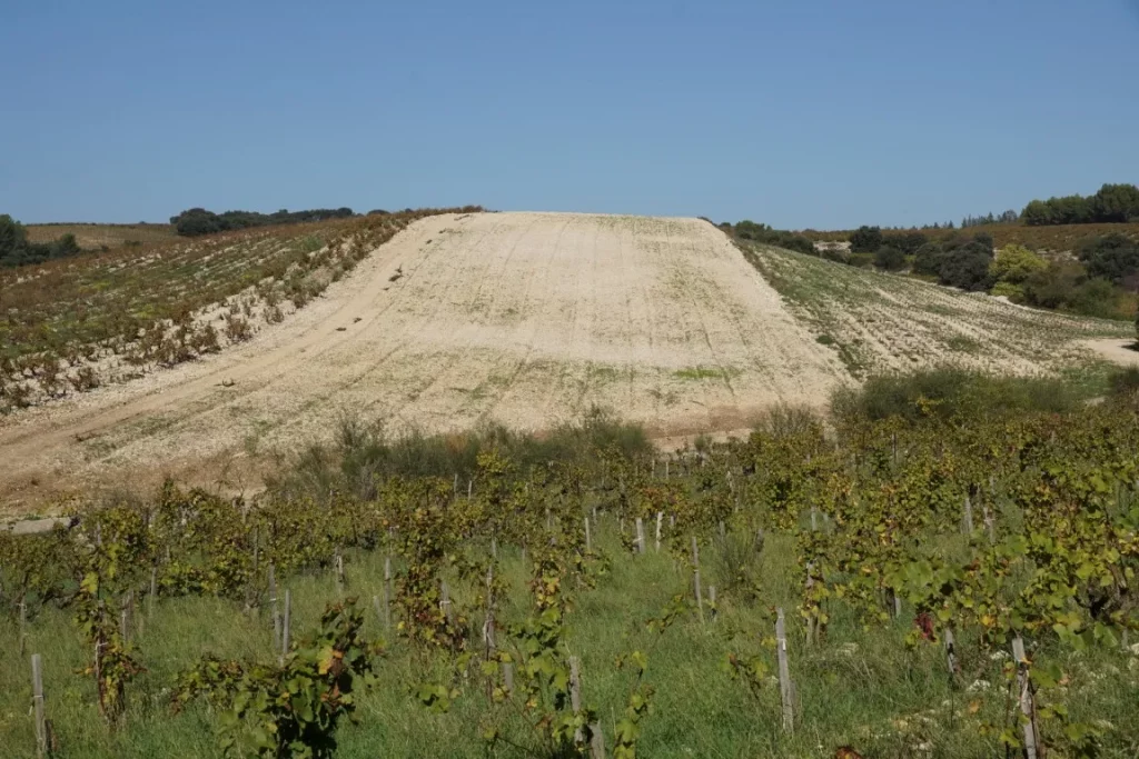
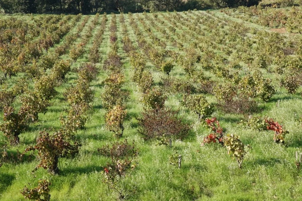
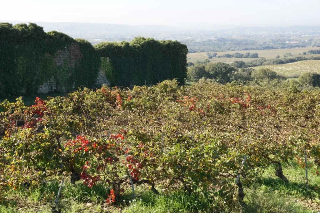
If you like wine, you may like it even more after seeing the beautiful vineyard landscapes on this tour, the white limestone soils, the grassy rows of vines, the wild arugula flowering between the rows and all of this under the bluest of blue Provence skies.

Track database updated

Balazuc and Viel Audon

Hiking distance : 7.5 km ; Hiking time : 3h30

Balazuc is a picturesque village sitting on a rocky hillside on the left bank of the Ardèche river not too far from Aubenas – and about 100 km north of Nîmes.

Village de Balazuc
Village de Balazuc

This trail starts from a parking area near the high end of the village – next to the « Tour Carré ». We wander though the old village streets, trying to keep our bearings and stumble across a variety of curiosities including the reproduction of an ancient sarcophagus discovered near Balazuc. (which like most other valuable historical artifacts is stored in a big city museum somewhere).

We are headed for the (one) bridge over the Ardèche river and the best way to find it is to always head downhill. The village is very quiet in winter and picturesque under raw winter light. (provided the sun is shining). The town is much more lively in the summer.


Eventually we cross the bridge and turn left to head down a riverside path to the once silent hamlet of Viel Audon. This spot, facing the Ardèche river and nestled under a good sized cliff is not reachable by road so at some point during the 19th or early 20th century its last inhabitants left for other places. In the second half of the 20th century the hamlet was brought back to life by dedicated local citizens who created an association aimed at rebuilding the village. For around the past 40 years the village has come to life in spring time and summer with students and youth groups from around Europe and elsewhere who live and work on restoration projects.

On this winter’s day, we saw a few goats and even fewer hikers.

Then we climb the ‘calade’ pathway to the top of the plateau and start a 4 to 5 km clockwise loop leading eventually back to the Ardèche river banks. The landscape on the plateau is best described as a chaotic mess of box trees, scrub oak and limestone rock forms created by differential erosion of hard and soft limestone. This plateau extends, in fact for about 50 km in a NE-SW orientation. Nothing but rocks and trees. The land is mostly useless for cultivation but was used for grazing livestock at various times. A few houses are scattered around in the vegetation. Many of them must be ‘off the grid’ : no municipal water or power, outdoor sawdust toilets, poor road access, etc.

Partway along the plateau route we pass behind the circular lookout tower. This tower sits on the right bank of the Ardèche river and once served to watch over a main approach route to Balazuc.

Back on the river edge we cross the bridge and climb up though the village by a different route admiring the old houses, the old fortification gates and the church with a bell gable (and no bell).

Winter is best for photography as the raw angled light provides great contrast and sharp outlines. On this day we were not that lucky – some sunshine but mostly dull cloudy skies.

For this circuit – walking sticks and solid hiking boots will help you defeat the large limestone rocks littering most of the route.

The Rouveyrac trail

Hiking distance : 10 km ; Hiking time : 03:30

My first time on this trail was in 2010. The trail was in good condition passing by some beautiful viewpoints and a picturesque mountain village. The starting point, near the old train station in Thoiras, (now a restaurant), is fairly easy to find. Go around the station, cross the tracks and walk along a local road for a few hundred meters before tackling, on the left, a rocky rough climb. Presumably this was the starting point for the ‘draille’ a livestock trail used to move animals to pastures on higher ground during the summer months.

In 2022, this part of the trail is in rather poor condition, strewn with loose stones, broken rocks and scrub trees.

The old station at Thoiras-la-Plaine

A few kilometers up the trail, near the high point, things begin to look more ominous. There are signs warning not to pick plants. The site is polluted with heavy metals! Here we are near the abandoned Grande Pallieres mine (Vieille Montagne), a serious source of pollution. The mining concession concerned 4 towns including Thoiras, starting point of this circuit, and Saint-Félix de Pallières.

The mine is located on the western slope of the Grande Pallières ridge. (There is an important prehistoric site – cromlech, dolmens etc- on the eastern slope).

Lead, zinc and silver were extracted here until 1971. After closure, the place was abandoned with no rehabilitation work. For years, nothing happened while the children of the nearby village of St-Félix played in the slag heaps. Then progressively, the dangers of this site began to get noticed. In 2008 a report commissioned by the Ministry of the Environment confirmed significant levels of soil pollution in heavy metals. In 2010, an association (ADAMVM) took up the issue.

Since then there have been many twists and turns that I will not recount in detail. The mining company Umicore, owner of the site, was obliged to install a retention wall to limit the slag heap runoff into the Paleyrolle stream. But the Cévennes region is well-known for episodes of torrential rain creating sudden high volume runoff and retention walls don’t help much. If you walk this trail, take a close look at the water with its strange iridescent tones of orange, red, and rust.

In 2016 a complaint was filed for the endangerment of life and poisoning of water. In 2020 after long deliberations, the courts dismissed the case. This despite the fact that the French government had already confirmed the presence of significant pollution, and had and forced Umicore to build the retaining wall . Also despite the fact that residents living nearby, when tested, showed significant contamination of urine with heavy metals (cadmium, arsenic and lead).

a makeshift bar in the travelers camp

And don’t remind the locals that they can’t sell their houses (no value) or grow vegetables in the back garden…

The saddest part? The former mine site is used as a camp by nomadic families. In 2010, I saw a lot of children. There were fewer in 2022, but people still live there and, it seems, have rave parties from time to time.

Hiking in the Cevennes: it’s almost always beautiful. Not this time.

Privacy Overview

This website uses cookies so that we can provide you with the best user experience possible. Cookie information is stored in your browser and performs functions such as recognising you when you return to our website and helping our team to understand which sections of the website you find most interesting and useful.

You can adjust cookie settings by navigating the tabs on the left hand side.