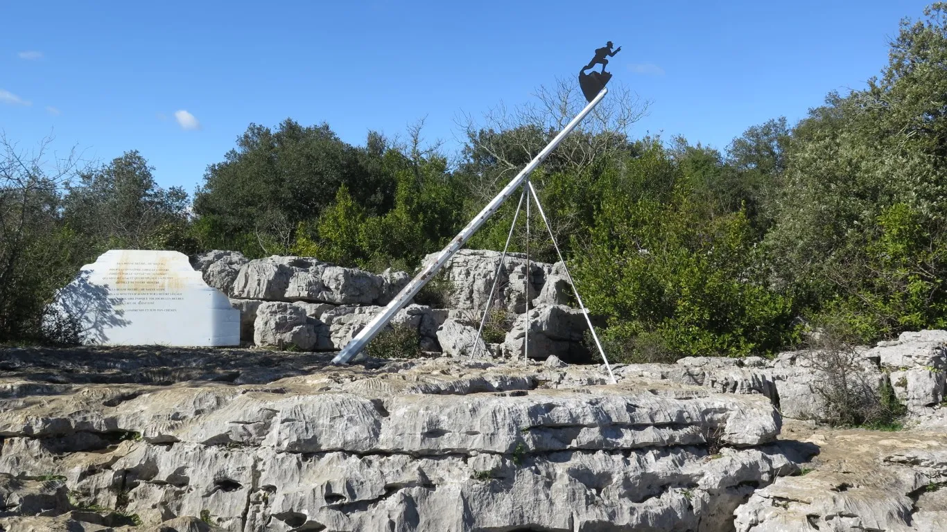
In the Mediterranean region of France, several bridges are known as a “devil’s bridge”. Building a bridge in the Middle Ages was not easy and presumably subject to collapse during construction. To complete a bridge, as the legend goes, a builder would make a pact with the devil. Under the arrangement, the devil would allow the bridge to be completed and would get the first soul to cross the bridge as a reward. There’s more to this legend, that the reader can look up.
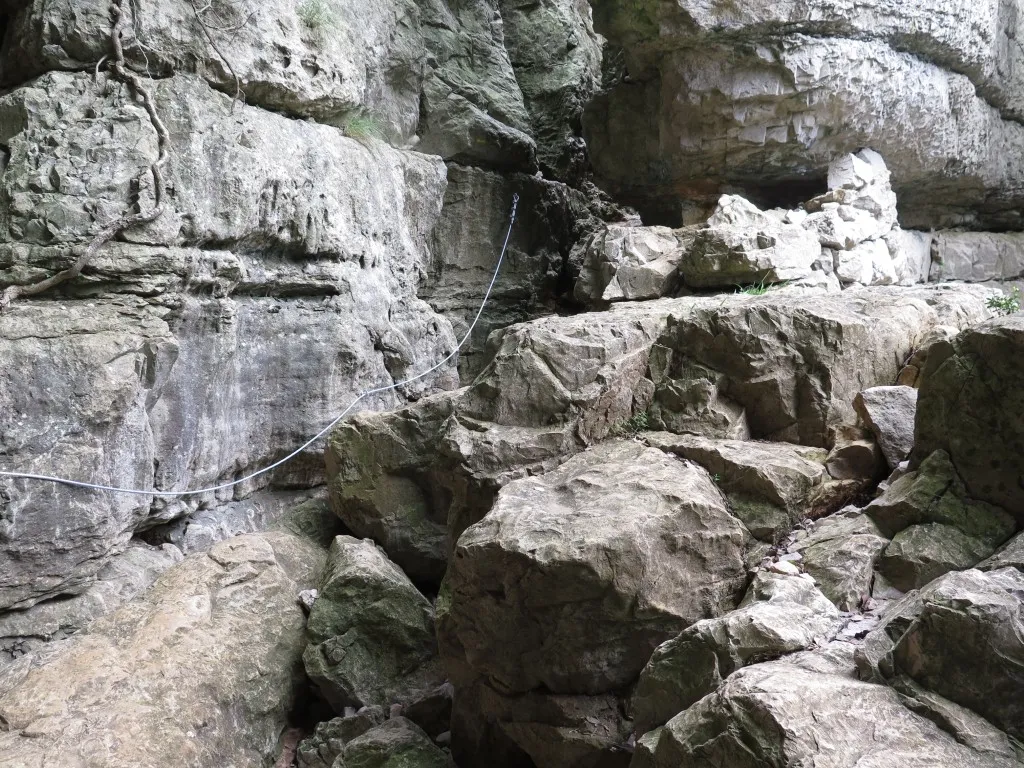
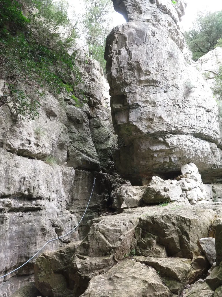
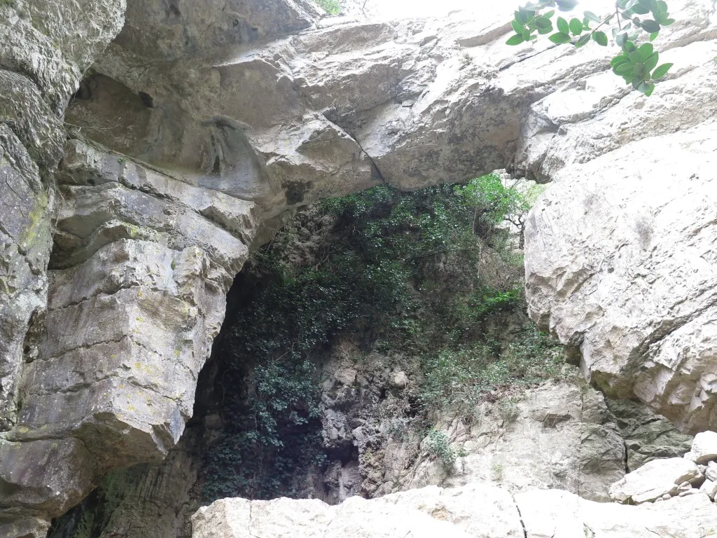
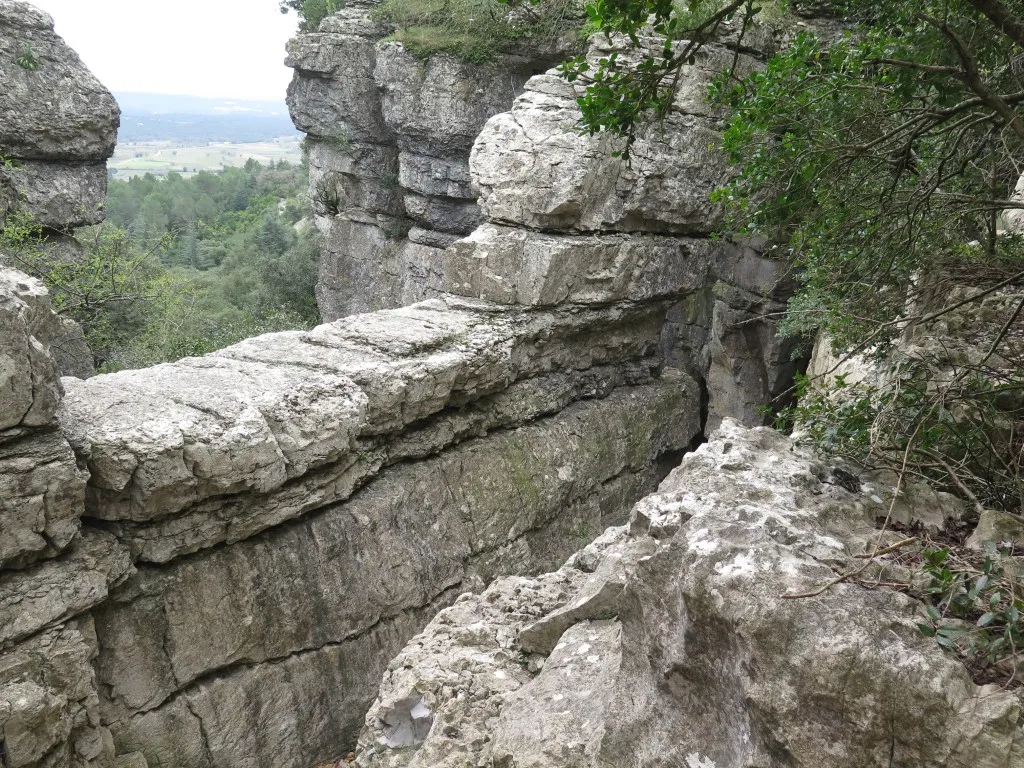
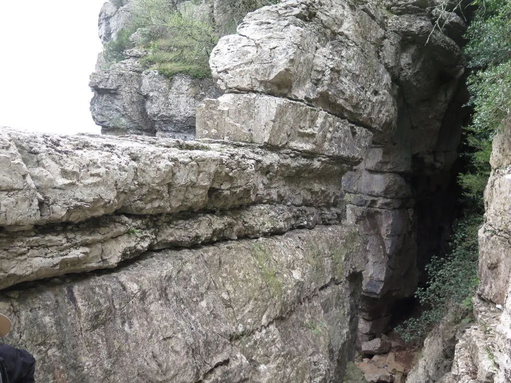
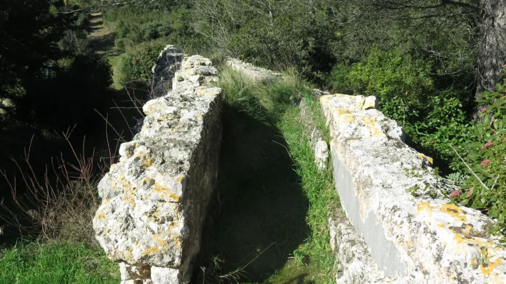
But in Corconne it’s not a devil’s bridge and it’s not man-made but rather a natural stone arch at the far end of a valley framed by imposing cliffs. There is no shortage of devil’s bridges in this area but there is also no lack of natural stone arches (e.g. the Pont d’Arc in the Ardèche spanning the Ardèche river, the ravin des Arcs in the Hérault department with at least 2 stone arches across a river bed). However, the “pont du Hasard” in Corconne is the only one I know of that doesn’t span a river.
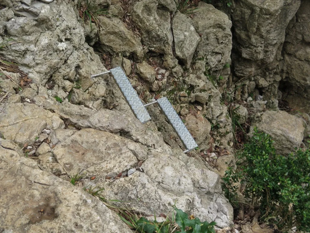
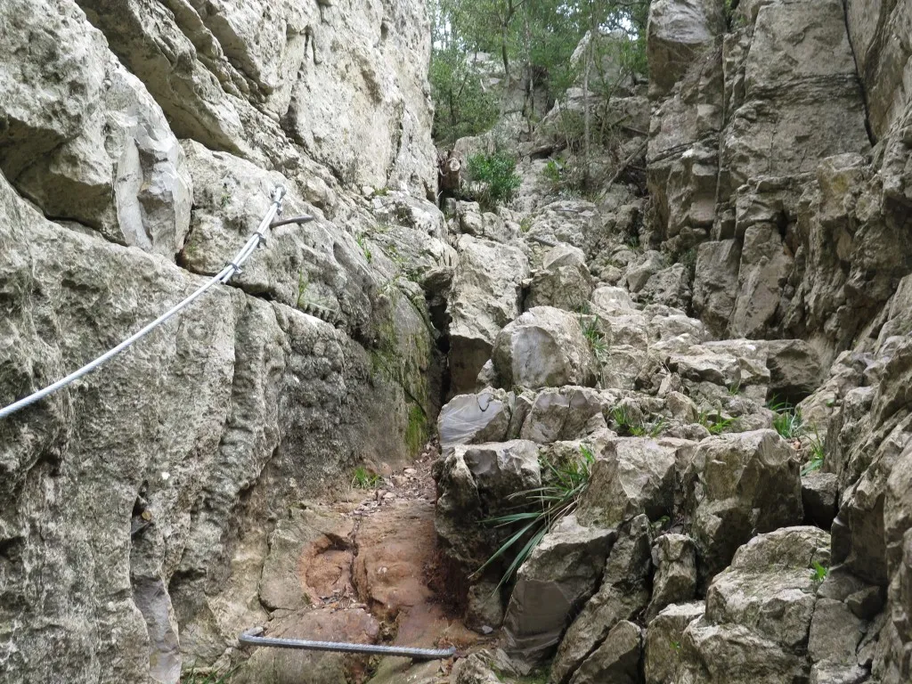
uphill under the stone archthe path up the stone archanchored footholdsthe balconythe path up the ravine, viewed from abovehand rail
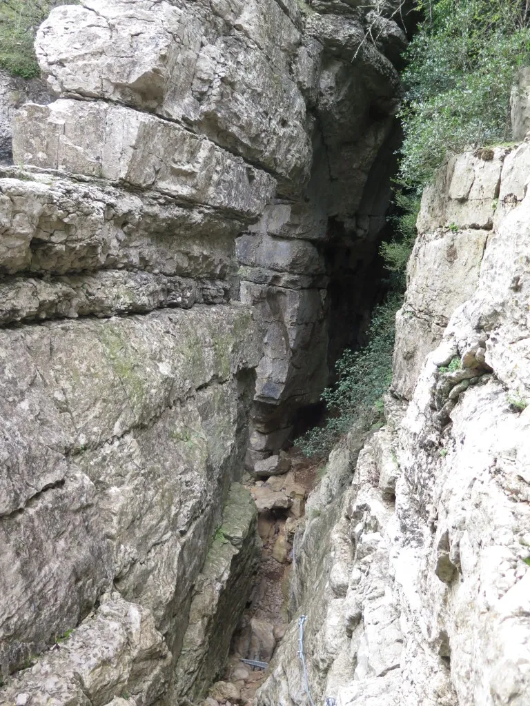
The route under the arch is equipped with handholds and steps anchored in the rock. Following the route we climb up a narrow, steep ravine under the arch, out of the valley and on to the Coutach plateau, but it’s not difficult or especially scary.
the rockfield view to Corconnecliffs along the valley
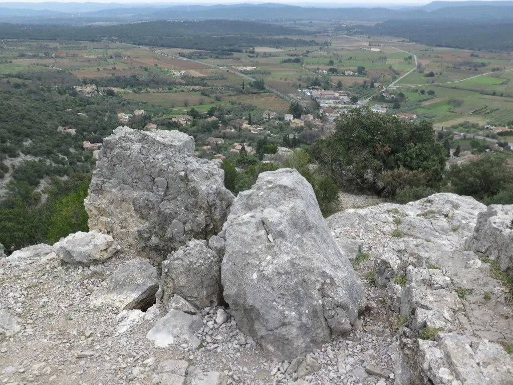
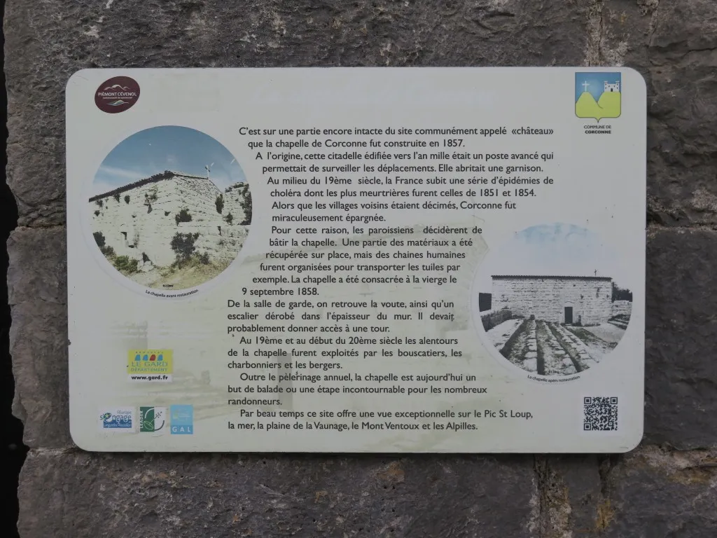
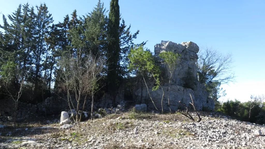
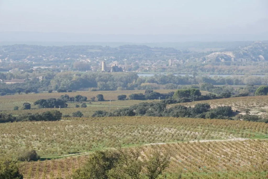
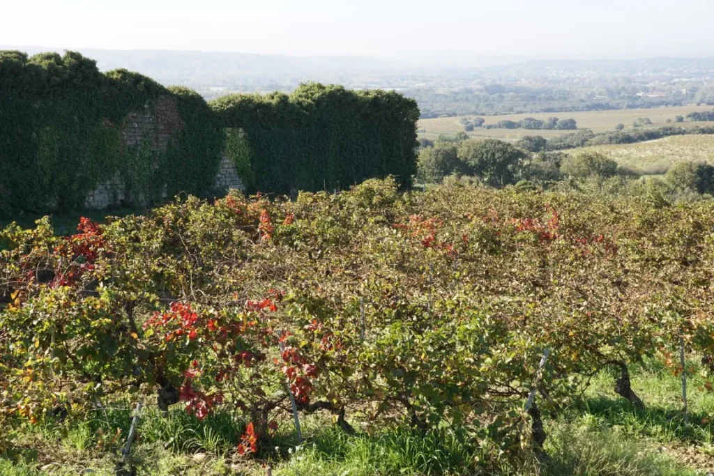
The “pont du hasard” is the first point of interest on this circuit. The second is the view from the castle/chapel on a promontory overlooking Corconne from a height of around 135 m. A third point of interest is the chaotic rockfield between km 2.5 and km 3.0 on the circuit.
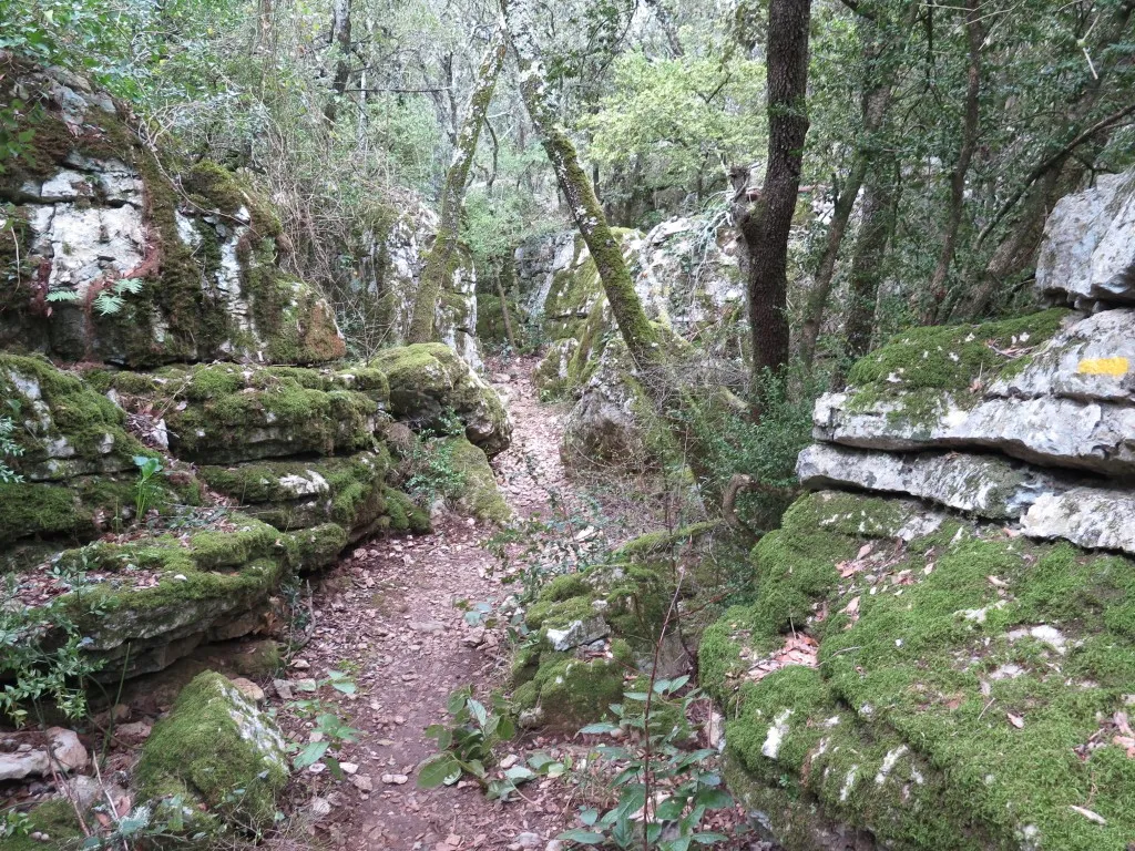
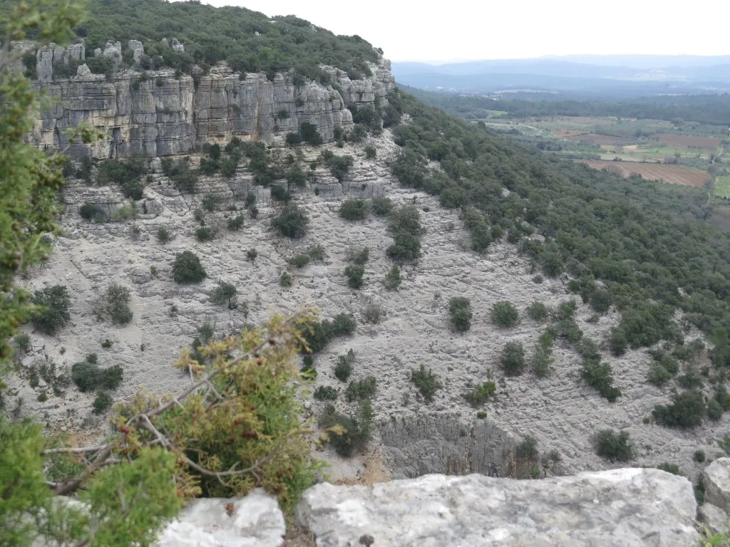
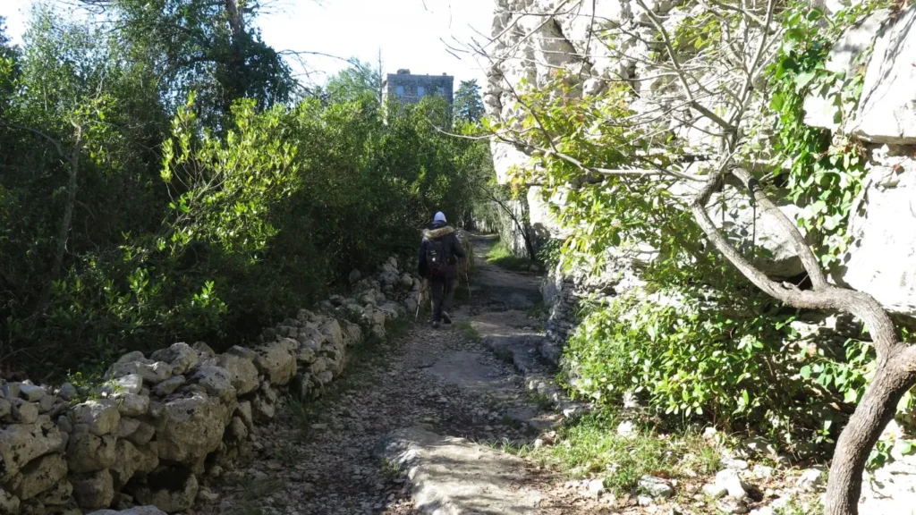
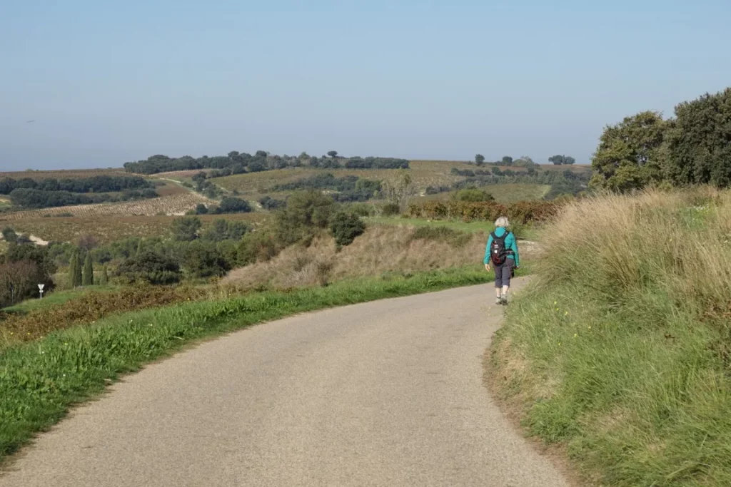
Then, in the undergrowth or on the DFCI, the path becomes easy and somewhat boring until around km 5 where there are northside towards the southern foothills of the Cévennes and the town of Saint-Hippolyte-du-Fort. And finally, around km 9, along the downhill route off the plateau there are fine views to the south and to the Corconne vineyards.
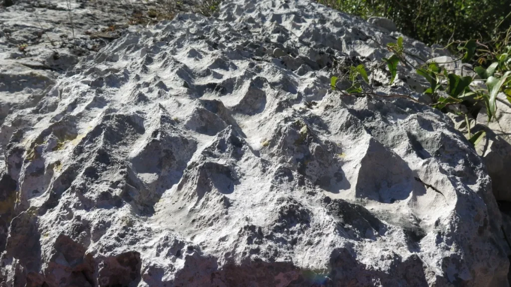
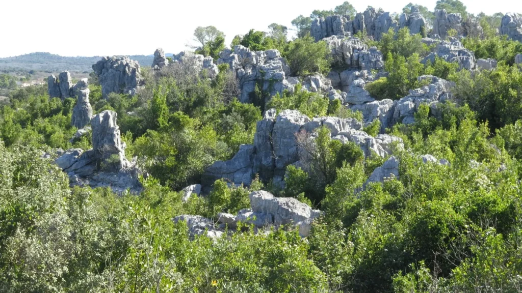
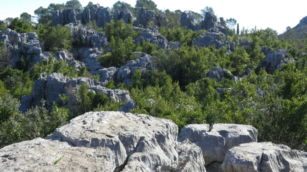
In the Languedoc/Cévennes region, strange rocky outcrops and boulder fields are very common – a result of erosion affecting the limestone differently depending on its chemical composition. These rocky boulder fields include the Montpellier-le-Vieux site near Millau, the cirque de Mourèze in the Hérault, and the Païolive wood near Les Vans in the Gard. Although best-known, they’re far from the only ones. On walks in the Coutach near Sauve, on the Granzon plateau in Banne, near the Cocalière cave in Courry, or on the Gras plateau near Balazuc, we often encounter the same strange formations.
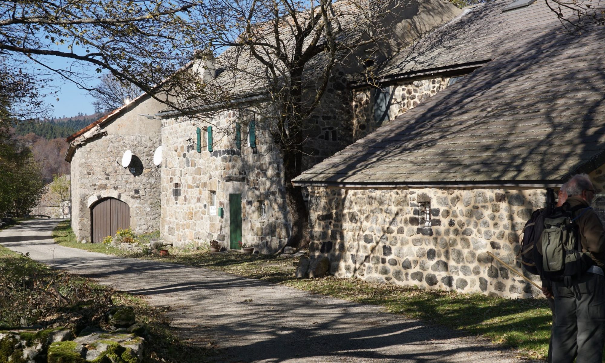
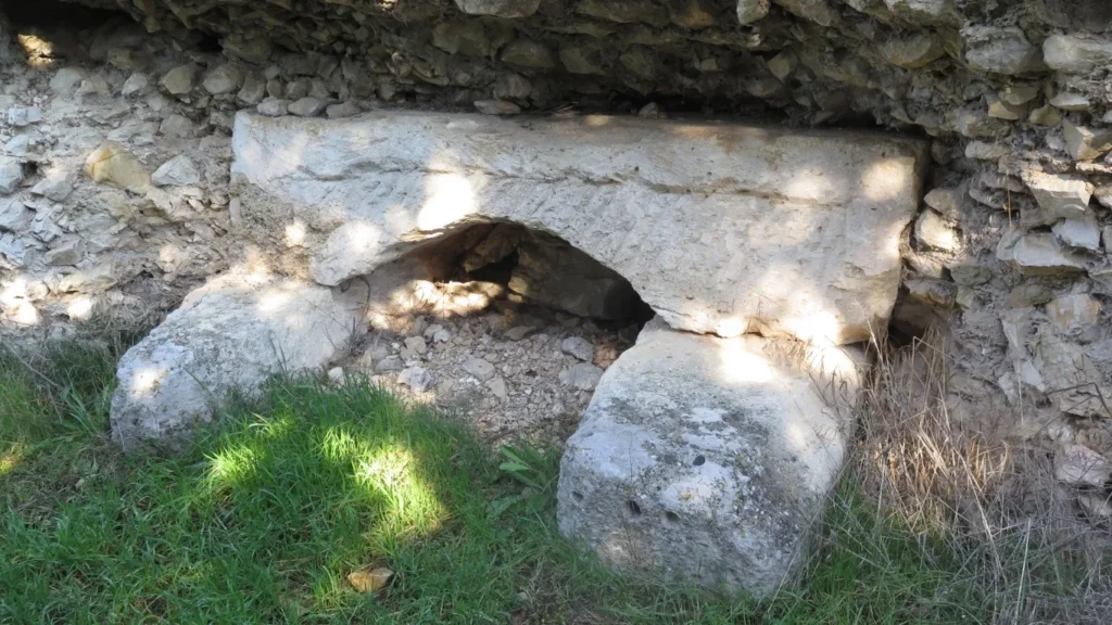
The « mer des rochers » near Sauve is a rocky boulder field on the edge of the Coutach plateau with a history of agricultural use. How to farm these rocky landscapes ? You have to remove the stones from the (rare) flat bottomed basins, and add retaining walls to keep the soil in place. Recall that this area is subject to intense episodes of rainfall in autumn and soil run off is a major problem. At the « mer des rochers » – easily accessible from the heights of the old village center – farming was intense until the 19th century, then gradually abandoned. All that remains are walls, gateway pillars without doors and footpaths. A castellas and the Château de Rocqueviaire (voir plus) also bear witness to the region’s rich past.
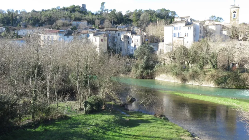
For this short walk, we leave the car in the parking area by the D999, on the left bank of the Vidourle below the village of Sauve, and set off at first to discover the fountain and the old village centre.
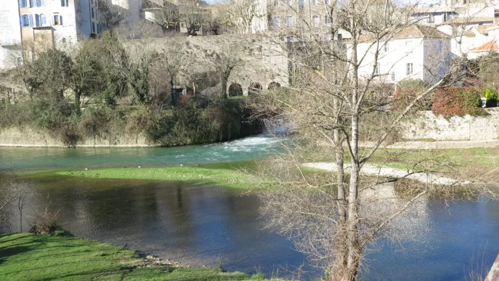
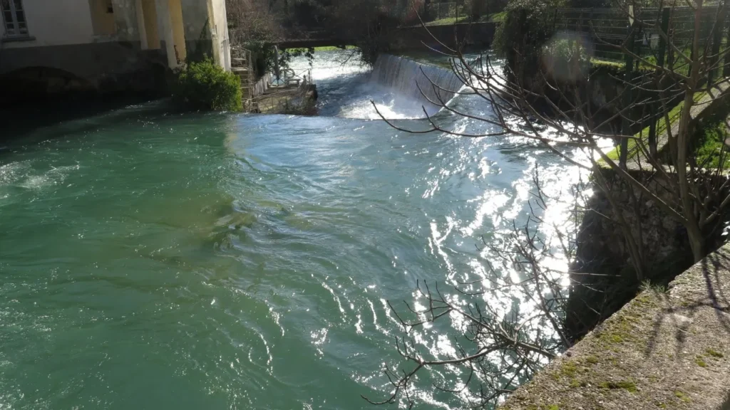
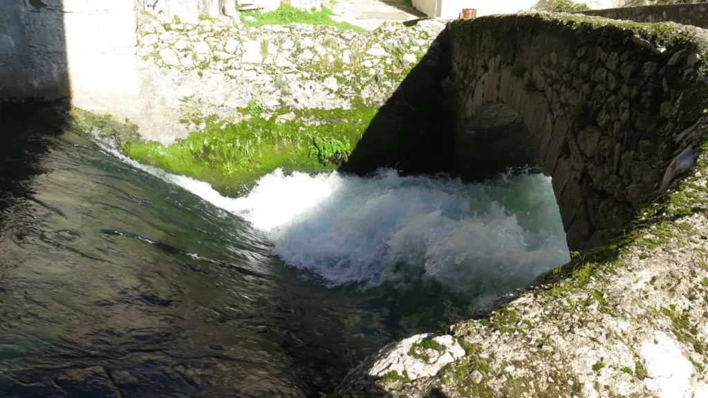
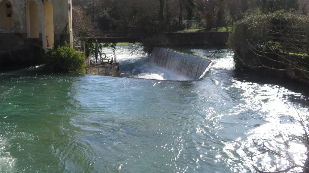
The “fountain” deserves an article of its own. At this place a subterranean river re-emerges from the base of a rock face. The Vidourle river, flowing above ground below the village, loses a considerable portion of water at an upstream “perte” (1) near the ruined Château de la Roquette in St-Hippolyte-du-Fort. The subterranean river has taken a circuitous route below the karst landscapes between St-Hippolyte and Sauve and rejoins the above ground river bed here in Sauve.
the Vidourle and the fountain outflowfountain outflowThe old village of Sauvefountain outflowfountain outflow
Flow volume varies considerably with the seasons. In February 2025, after the heavy rains at the beginning of the year, the water outflow is deafening. But in summer the fountain can be very quiet.
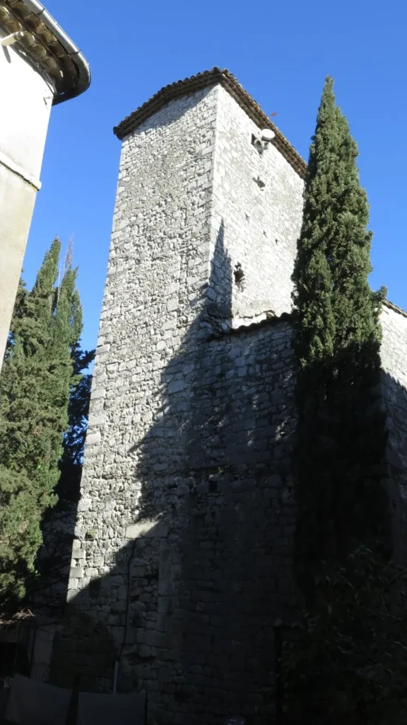
tour de Môle tower in Sauve
Next it’s uphill through the old village, where you can see a number of buildings that bear witness to former wealth (mint, town hall).
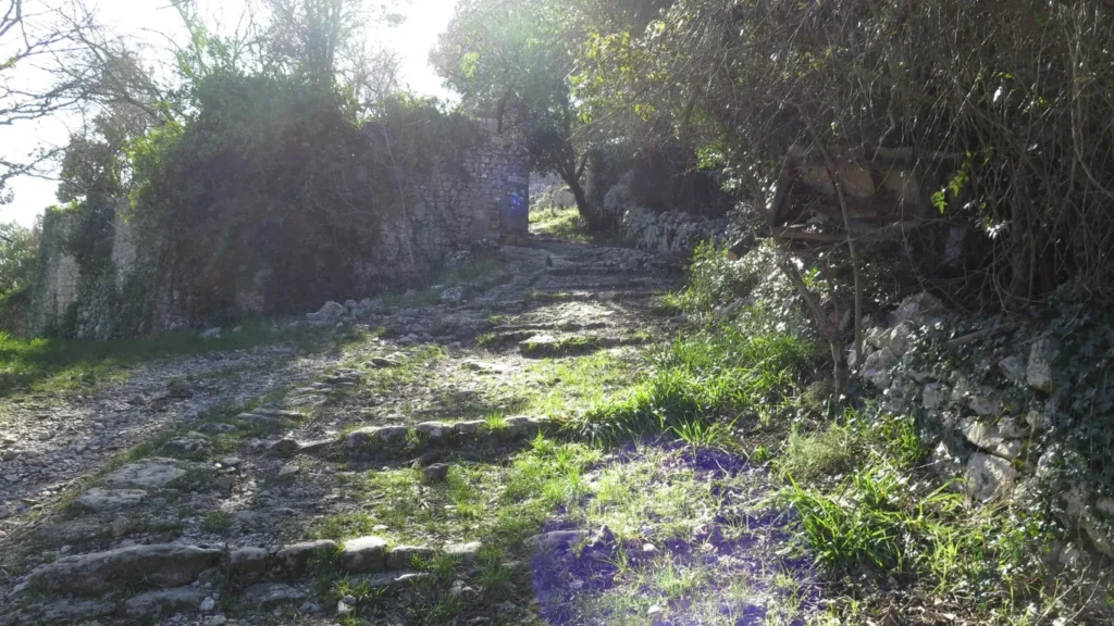
At the top of the village, a winding path leads up to the plateau. On this outing we followed the loop to the left towards Rocqueviaire (the gpx below suggests turning right but either way is fine). Along the way, you’ll see the Château de Rocqueviaire, then the Aven de Sauve (beware : no protective fence).
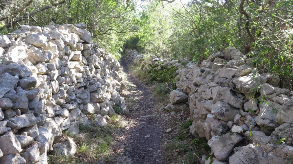
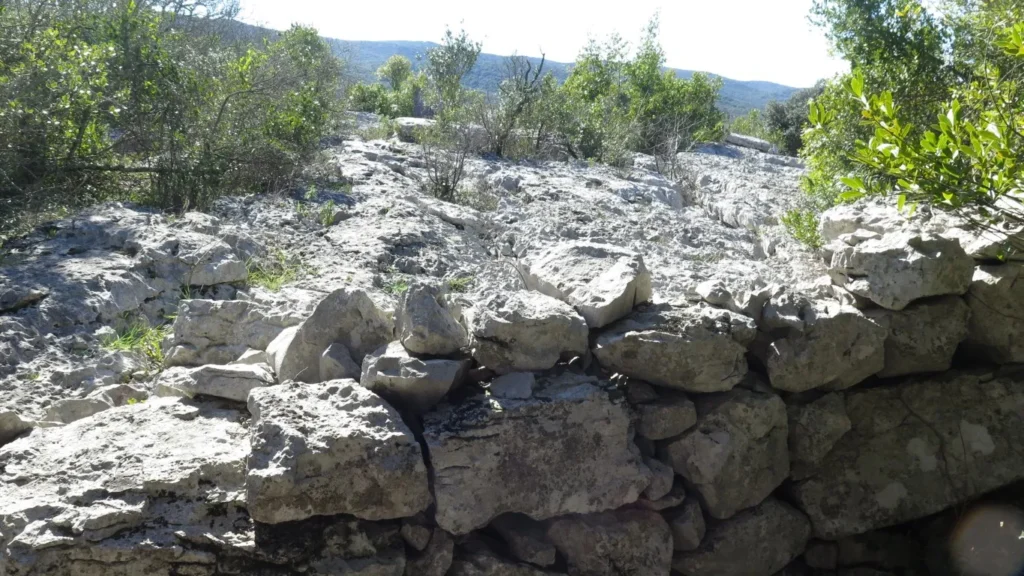
uphill to the plateaurock pillars everywhererock wallsa footpathnothing but rockspatterns of erosion in limestone
On this outing we couldn’t continue to the Grotte de Diou-lou-Garde because the owner had placed a chain across the path. Yes there are still private properties in this ocean of Rocks.
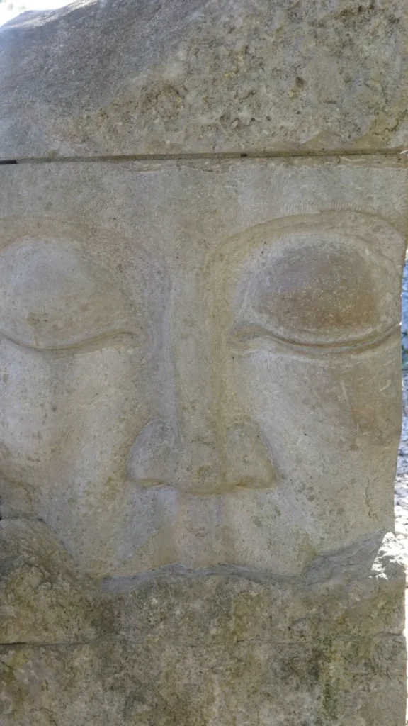
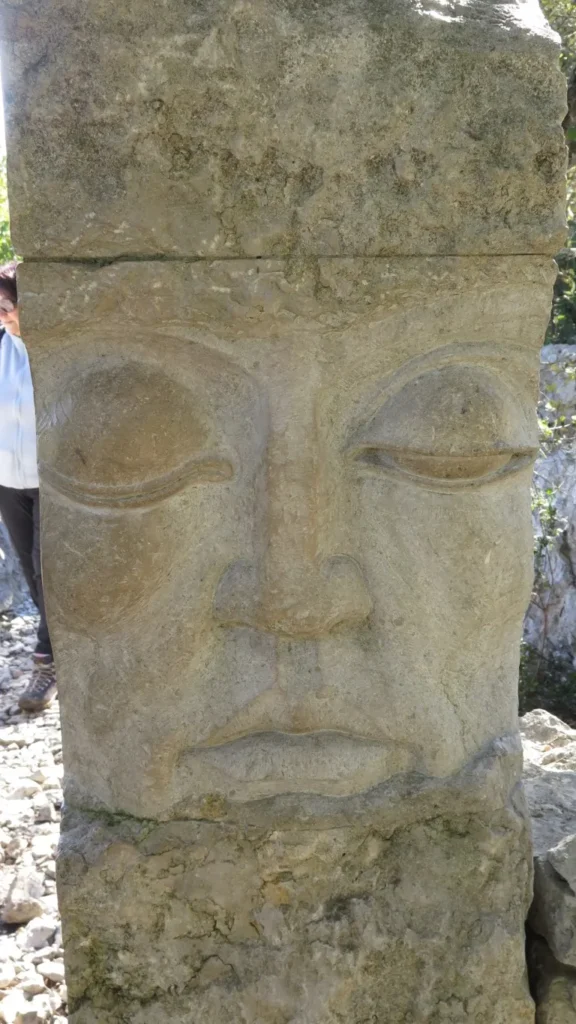
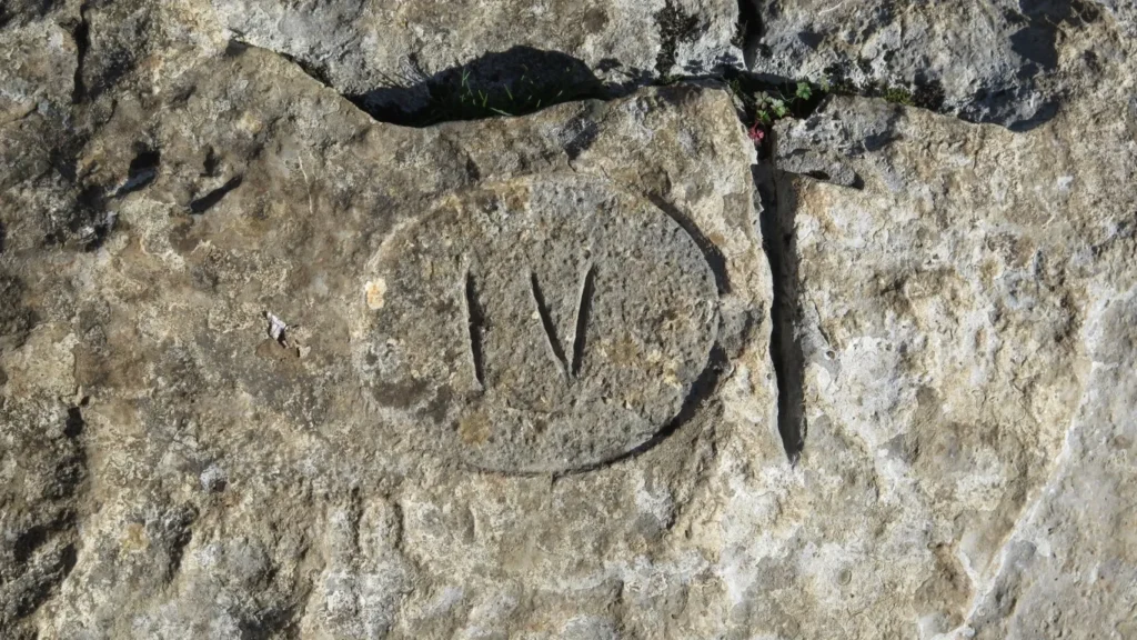
gatepost carvinggatepost carving4 o’clock on the sundialsundialbolder fieldbolder field
The path is fairly easy at first. In the last quarter of the loop, however, after observing the sundial, the walking gets a lot more difficult. You have to scramble up and down through a boulder field, using your hands frequently.
Finally, we head back down through the old village and departure point by crossing the Vidourle on a pedestrian footbridge downstream from the fountain.
(1) loss (or “perte” in french) refers to a place, usually in limestone or karst landscapes, where a portion of a river disappears underground.
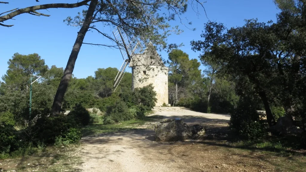
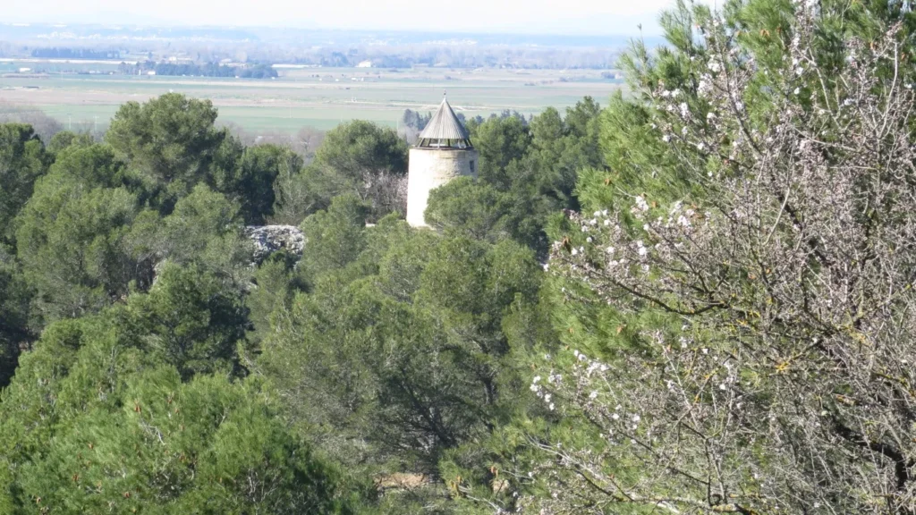
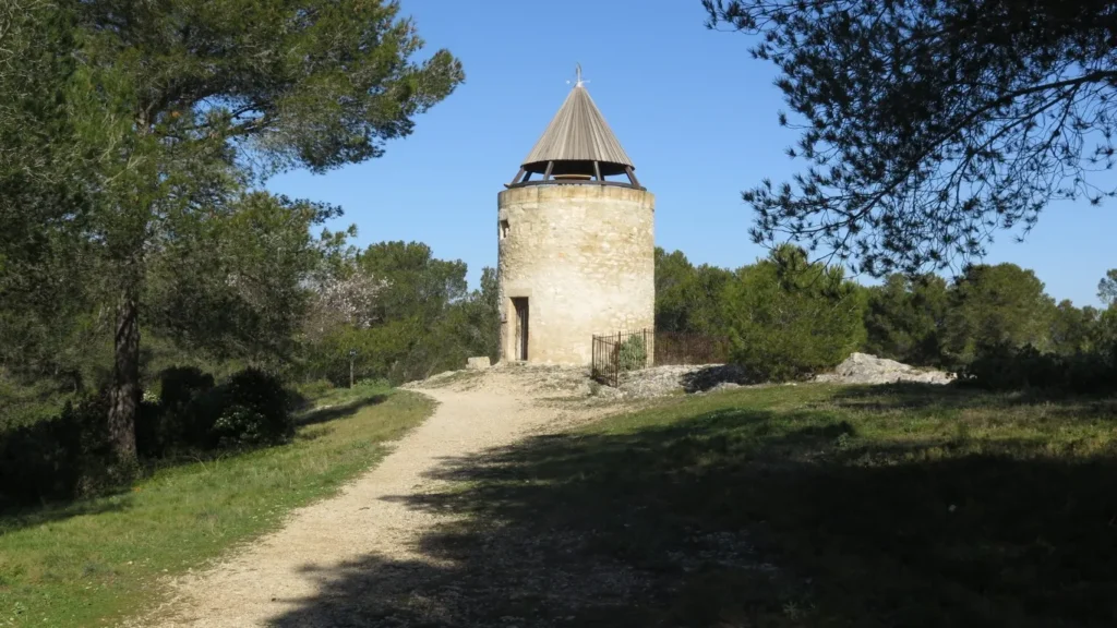
Fontvieille in the Bouches du Rhône region is best known for its mills: Daudet’s mill in particular. Although he never owned the mill, he drew inspiration from it in his writings. In fact, Daudet frequently stayed at the nearby Château de Montauban, and was certainly familiar with the mill.
On this tour, however, it’s another mill that attracts our attention.
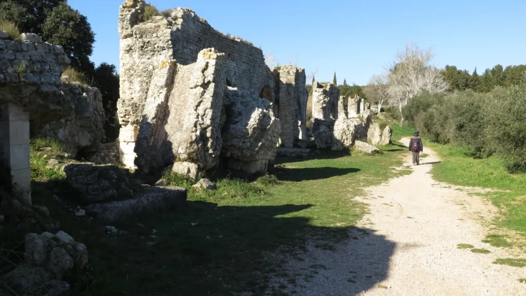
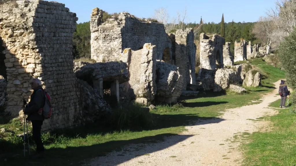
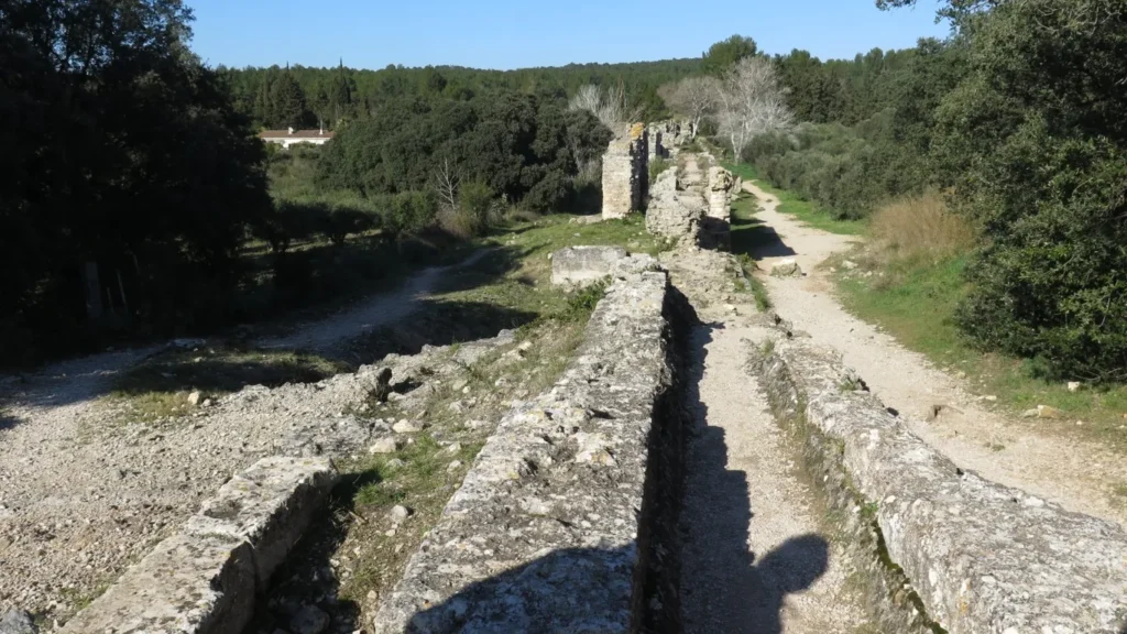
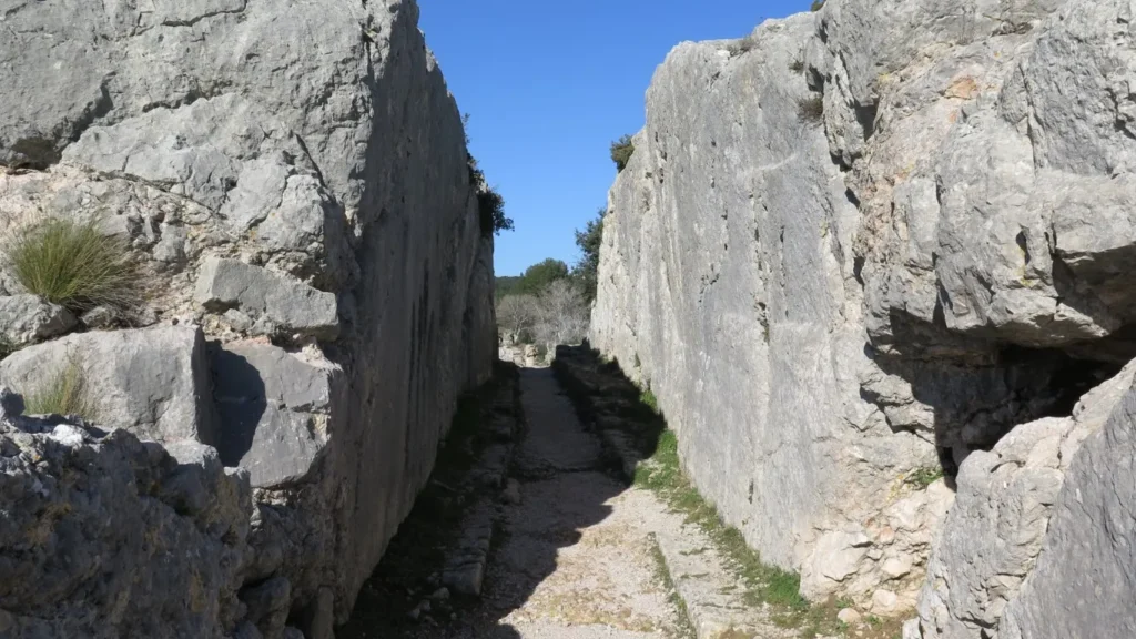
This is the mill or meunerie de Barbegal – in the commune of Fontvieille, some 3 km south of the Fontvieille windmills. The Barbegal mill was a grain mill dating back to Roman times, using water as a driving force. To bring water to the mill, the Romans built aqueducts, sometimes underground, sometimes overhead. One branch drew water from the northern Alpilles near Eygalières and ran along the north side of the massif via Saint-Rémy-de-Provence and Fontvieille. This branch of the aqueduct then bypassed the small Fontvieille massif to the west, returning eastwards to the milling site. A second aqueduct brought water from Le Paradou and Maussane areas. These 2 aqueducts met some 400 m north of the milling site. Continuing on, two parallel overhead aqueducts carry the water across a small valley over a distance of 300 m to the top of the hill on which the mill is located. Here, a breach cut into the rock brings the water to the southern side of the hill, where there were no fewer than 16 mills (two per level over eight levels and a difference in height of around 25 m). On the mill side, water was diverted into 2 canals to drive the mills’ paddle wheels.
ruins of gallo-roman aqueductruins of gallo-roman aqueductruins of gallo-roman aqueduct
Remains of the 2 parallel aqueducts can still be seen. Not much remains of the mill – just enough to strike the imagination.
Why 2 aqueducts? The one on the west side is diverted just before the mill by a canal serving Arles (7 km away). The one on the east side fed the mill. When you arrive at the hilltop, you can see the remains of a regulation system which enabled water to be diverted from the Arles channel to the mill or diverted the mill to Arles when the mill was not in use.
It seems obvious that this mill could not have operated all year round, as there would not have been enough grain, and maintenance would have been a problem due to limestone accretions in the canals.
Researchers have estimated that this mill could develop a power equivalent to 50 kw. It is considered to be largest known deployment of hydraulic power in the ancient world.
For this walk, we leave the car at the junction of the D82 and the road to Barbegal (location known as the Croix de Jousseaud). It is also possible to leave the car at the Roman aqueduct parking lot some 400 m further along the D82. The first part of the tour goes in search of remains of the aqueduct coming from Eygalières and Saint-Rémy. There are trenches, some underground canal entrances and a few small aqueducts. In some sections, the aqueducts seem to stretch for hundreds of meters underground. After a few kilometers, the trail branches off to the north to reach the Fontvieille windmills. There are 4 windmills on this circuit (the Daudet windmill, the Roucou windmill and 2 others). After the windmill sector, we head south again, crossing the small Fontvieille massif on well-maintained paths and arriving at the Vallée des Baux canal. In February, the canal is empty for maintenance. Refilling the canal take place around the beginning of March. After skirting the canal, we cross the D82 to head south and then west to the foot of the remains of the mill. From here, you have to climb over rubble and limestone slabs to reach the top and the cut-out in the rock for the water passage. Beyond, the remains of the 2 aqueducts come into view.
All that’s left now is to take a few photos and head back to the car.
A word of warning however. If you or your fellow hikers have balance problems, it’s advisable to start the tour of the meunerie from the north side (the aqueduct side). Climbing the meunerie hill through the rubble from the south side base requires a sure footing.
remains of the aqueductremains of the aqueductremains of the aqueductwater channel passage
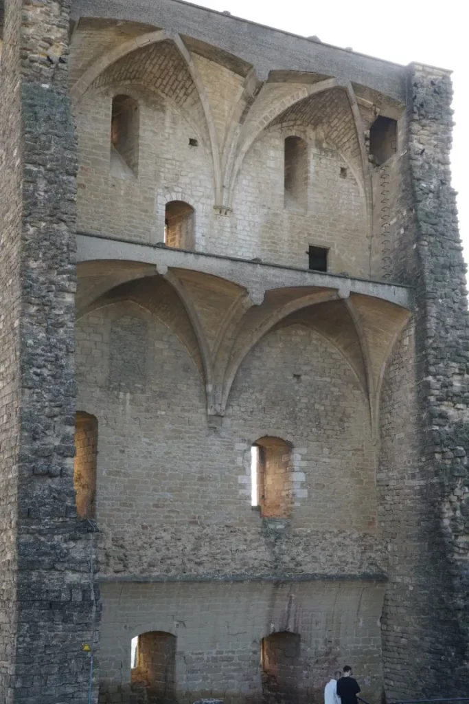
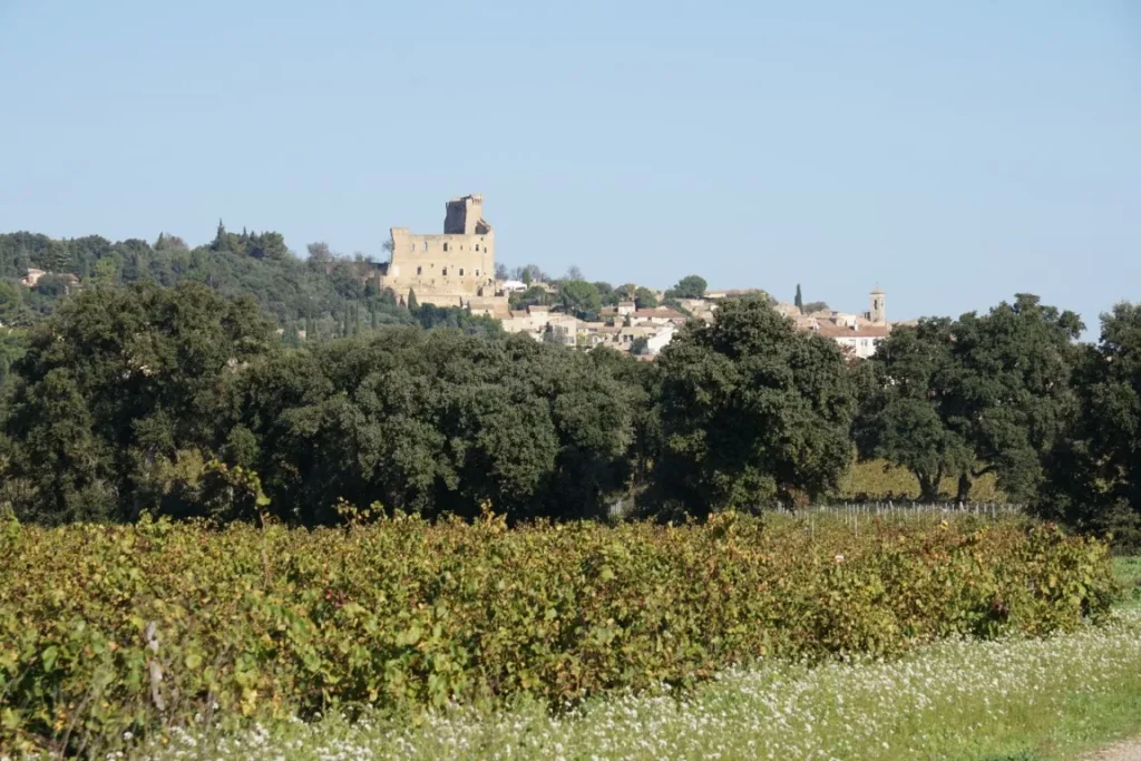
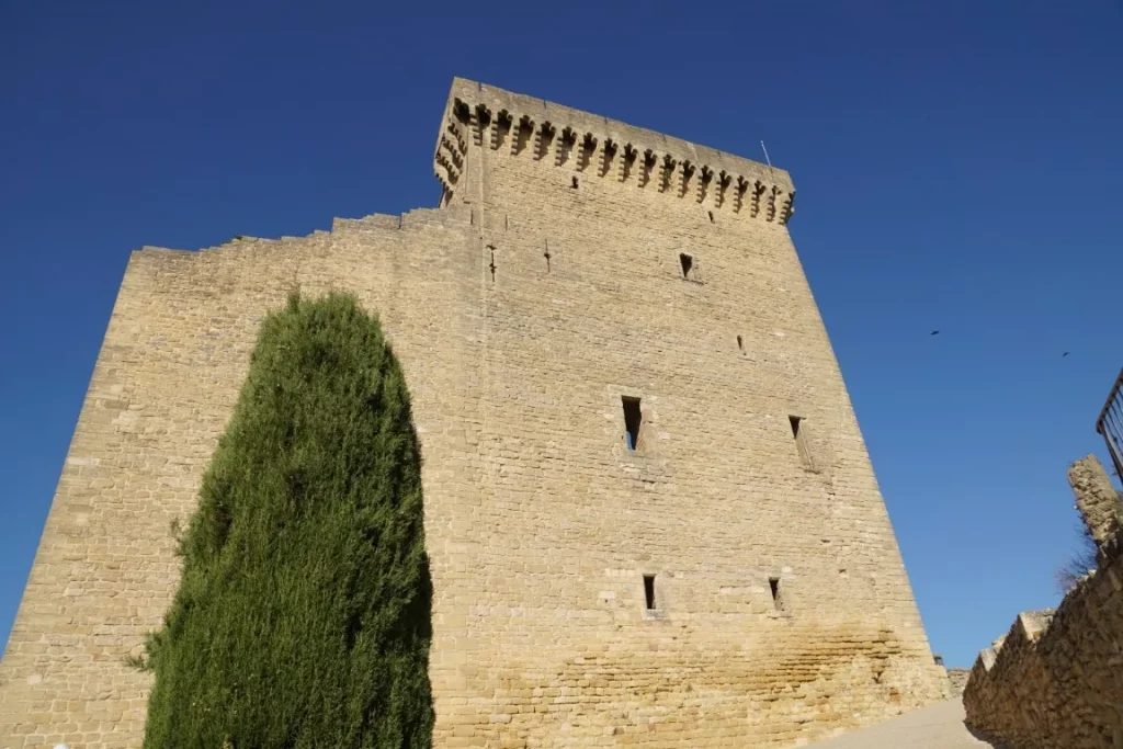
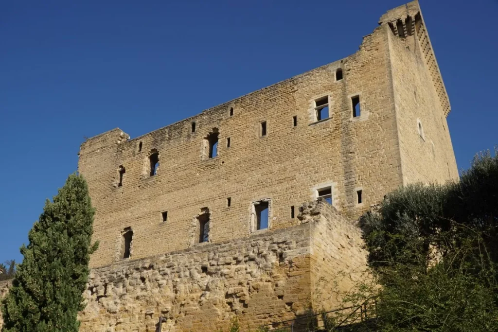
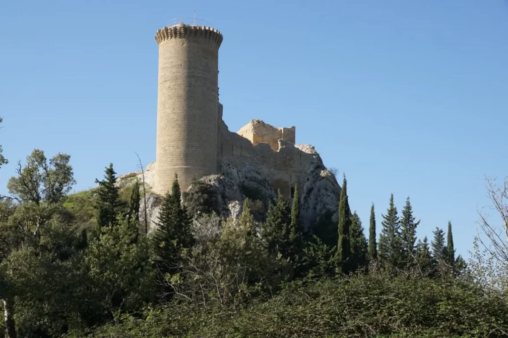
On a November 1st holiday, what better idea than to take a stroll through the vineyards. We chose the village of Châteauneuf-du-Pape. This village, known for its wine growing, should also be better known for its landscapes and historical heritage – starting with the château itself, which dominates the village. Built in 1317, the château has an extremely eventful history. Pampered by the Popes during their presence in Avignon, the château was variously sold, abandoned, occupied by the Huguenots during the 16th century wars of religion and then the Germans in the 20th century. It was the latter who, fleeing Provence in 1944, detonated an ammunition depot, leaving the château as it is today (a large standing wall facing south and the exposed interior of the castle keep facing north).
returning to the villagelagethe castle keepcastle wall
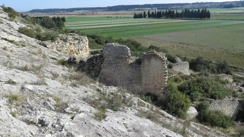
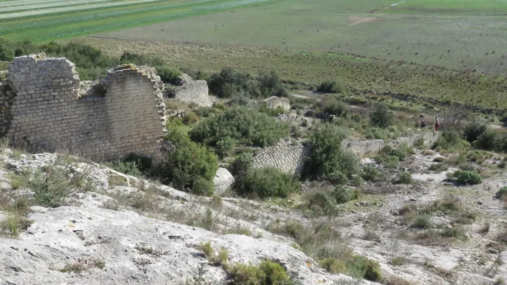
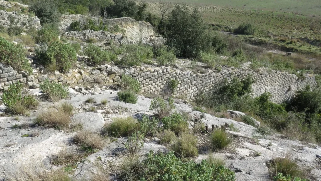
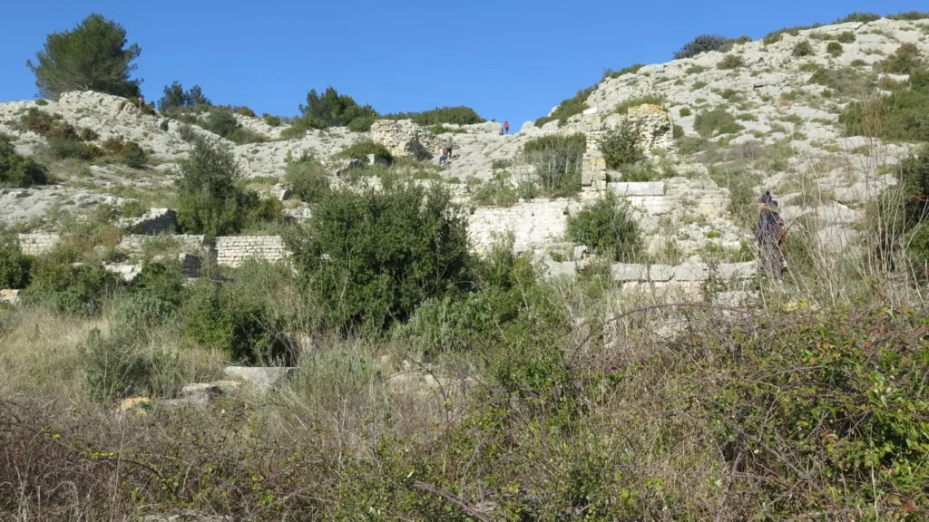
Our tour starts from the parking area at Place de la Renaissance in Châteauneuf (market on Fridays) and winds through the town to the hilltop château. After climbing the steps and circling around the château, we head on along a ridgeline and then downhill through the vineyards to reach the Rhône river plain. Here, after a few kilometers, we arrive at another château, the Château de l’Hers. This château, which could be described as an old “château du Pape”, features a well-constructed keep and a fortress wall still standing on top of a rock right on the banks of the main watercourse of the Rhône. The château was apparently built on an island in the middle of the Rhône but today, its position on the ile de l’Oiselet appears to be right on the left bank of the river. A curious anecdote – the château was an enclave of Languedoc on the left bank of the Rhône in the Middle Ages, but is now well within the Vaucluse departement. The property, now privately owned, was once used to police Rhône river traffic and collect tolls. (How else could one finance oneself in the Middle Ages?)
Château de l’Hers
After a glance over the Rhone embankment – the river is not in flood this day – we walk for a long spell along the left bank of the Rhone’s minor branch, past old lime kilns and then branch off directly to return to our starting point. On this last stretch, there are beautiful views over the village of Châteauneuf, with Mont Ventoux in the background.
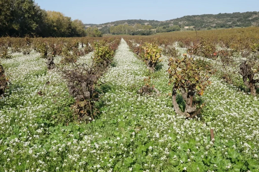
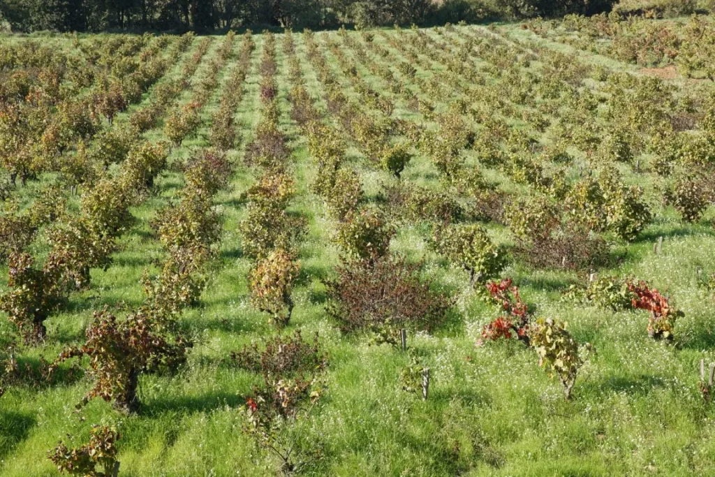
Chateauneuf vineyardswhie limestoneChateauneuf vineyardsthe château de l’Hers in the distanceChateauneuf vineyardsChateauneuf vineyards
If you like wine, you may like it even more after seeing the beautiful vineyard landscapes on this tour, the white limestone soils, the grassy rows of vines, the wild arugula flowering between the rows and all of this under the bluest of blue Provence skies.