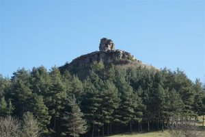
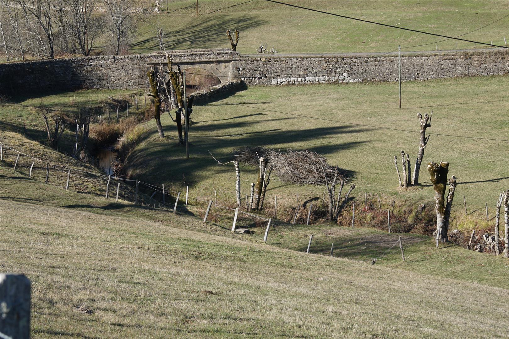
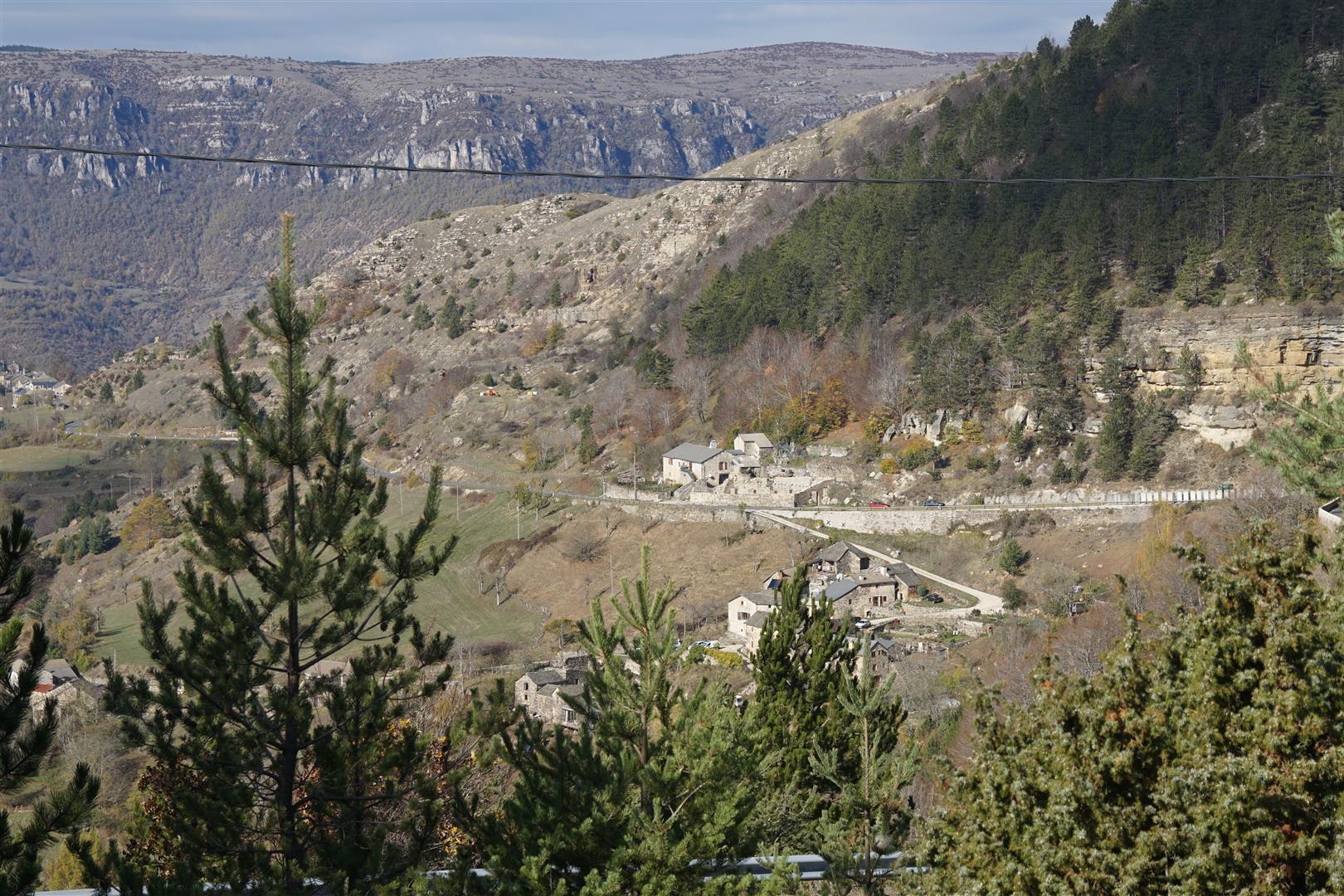
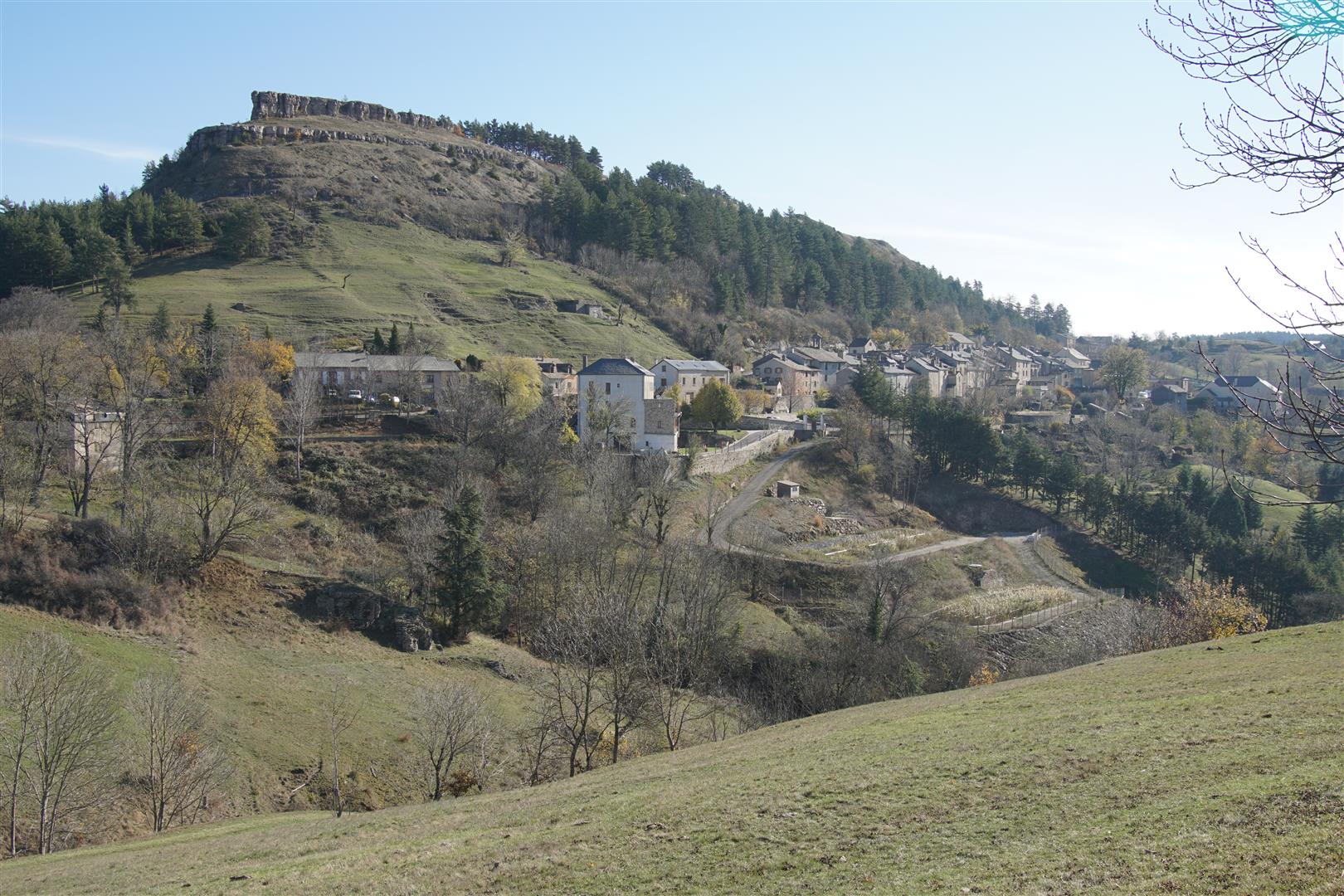
Barre-des-Cévennes sits under a rocky outcrop (possibly the origin of the name) on the major drainage divide between the Mediteranean and the Atlantic. At the start of the walk, on leaving the village, the Atlantic waters are on the right where the Malzac stream is visible in the picturesque valley below. On the left, but less visible far below, are the headwaters of one of the Gardon river branches in the Vallée Française. This walk clings to the side of the Can Noire plateau before reaching the Col des Faisses and then runs parallel to the old royal highway now known as the “Corniche des Cévennes”. About one kilometre further on, views over the Tarnon valley to the imposing cliff faces of Causse Méjan start to appear.
Upon reaching the Col du Rey, the track turns right to head back through a fine forest and the Malzac valley to regain Barre-des-Cévennes.
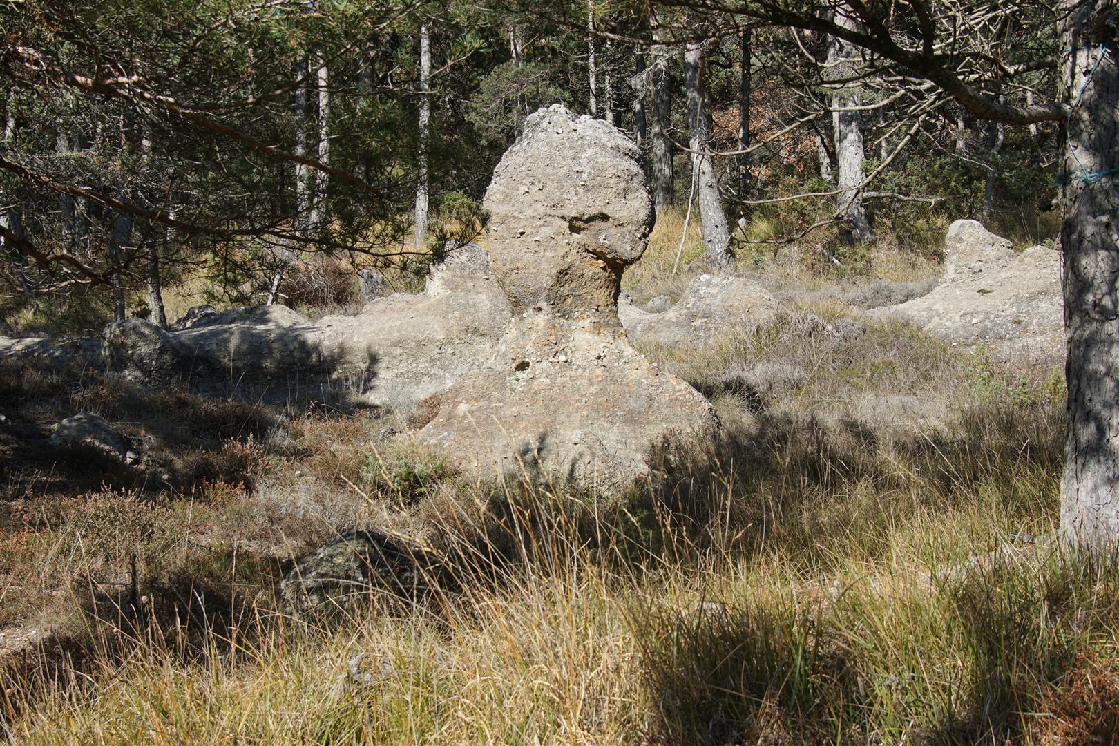
Along the forest route, near Balmegouse, there are a variety of curious erosion forms resulting from the differentual pace of erosion in limestone of differing hardness. Altitudes throughout the walk range from 900 to 1000 m but there are no special difficulties on this walk. The weather can be cold however and the winds are sometimes ferocious so it’s good to be prepared.
Map
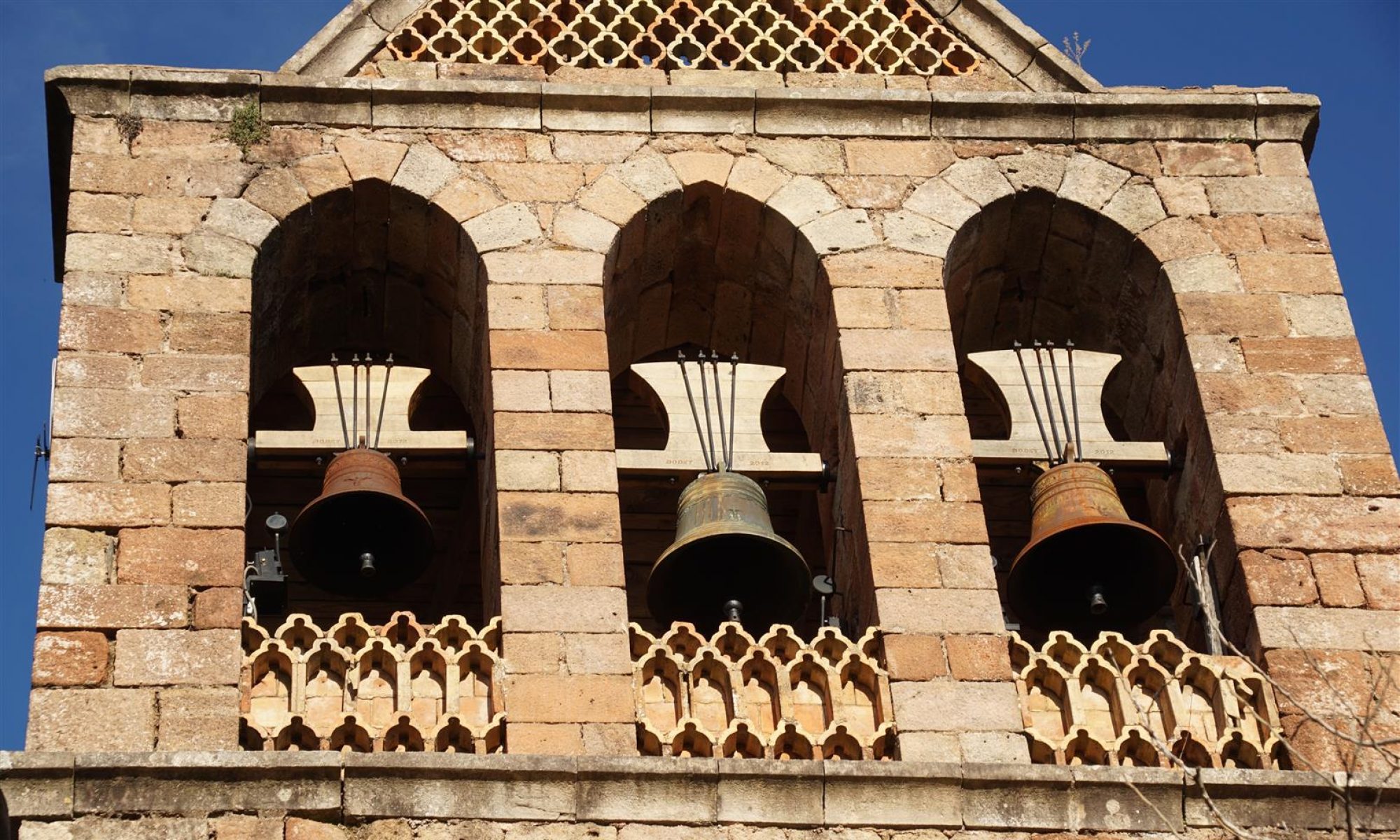
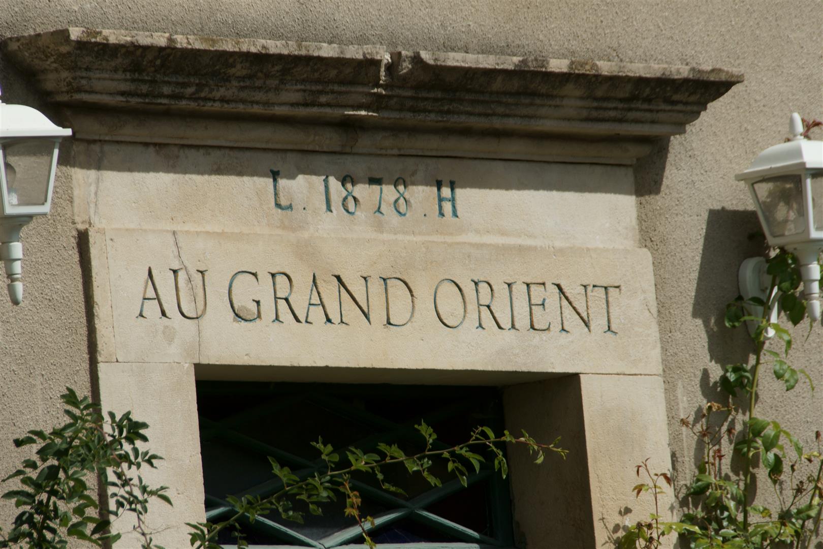
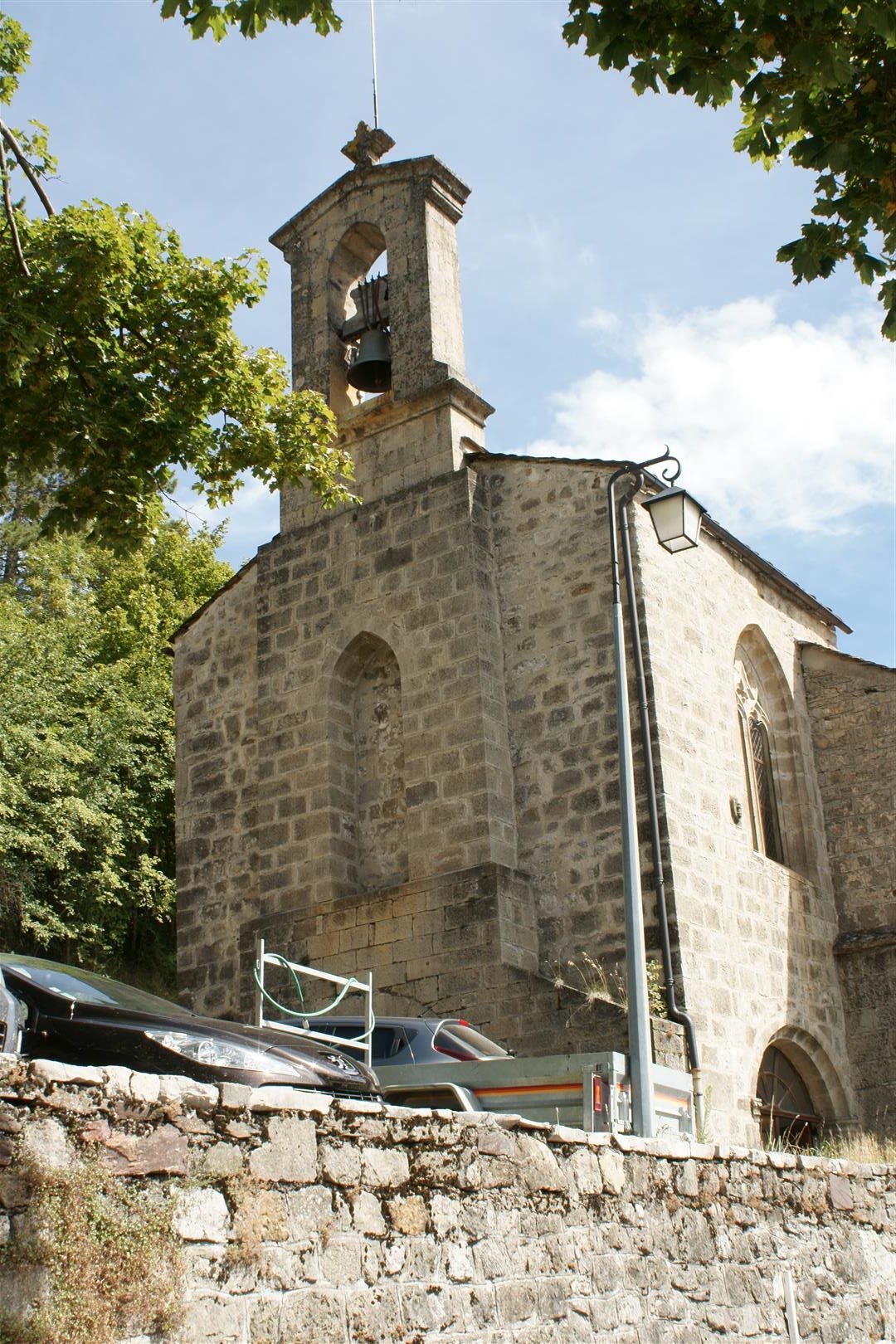
Finally, if you have time, don’t miss the old church in Barre (in the village – but not directly on this track). The church – Notre-Dame de l’Assomption- is a listed historical monument built in the 12th century in the romanesque style and subsquently remodelled with some gothic features. On a stroll through the village main street you might also stumble across the unusual inscription above the entrance door of a large building (see image below). According to various sources, no freemason lodge ever existed in Barre, so this inscription was more likely an expression of rebellion and free-thinking against the dominant Catholic religion in this resolutely protestant region.
