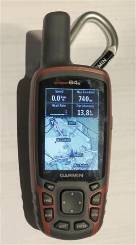
So I switched to a newer version – the 64s. What’s new with this one ? A new menu system that took time to get used to. A new desktop software package – Basecamp – that also took some time after giving up on Mapsource. The maps no longer transfer to the desktop, unless the device is tethered. There is a new compass that needs less calibration. The device seems to be more accurate and gets a faster fix on position possibly due to the use of both GPS and Glonass satellite clusters. There are new maps with a different rendering style in Basecamp – not better – just different.
But there are also a couple irritating “features”. For example, the device remembers it’s last position on shut down. At the next power-up, track recording somehow takes account of the last known position and starts the new track with a non-zero distance (and that non-zero starting distance looks suspiciously like a straight line distance from the last known position). If you forget to reset the track record on the start of your hike (even if you cleared out the records the night before during preparation), you get a spurious starting distance. If you then don’t check the distance is already clocked up on hte device, you can not tell how far you have walked on the day. Very irritating.
Another irritation is the time taken to get a decent fix on altitude. If you know the altitude of the starting point, it is best to set the starting altitude on the device. The altitude fix trends towards the correct value over time, but in some cases, this takes an hour or more. The altitude profile of that first hour is therefore inaccurate. In this case, any attempt to use the track log data to determine cumulative climbing is a waste of time.