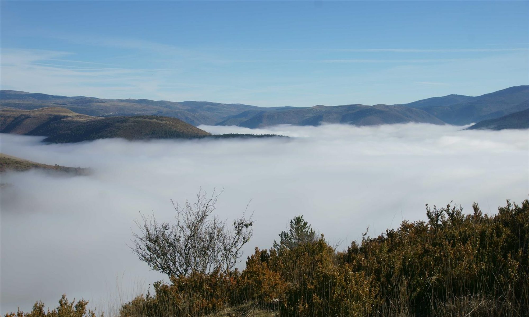
In these parts, almost everyone has heard of the river Vidourle. It’s famous for flash floods and devastation. But the river is a lot more interesting than just the flood damage it causes. For starters, it rises in a steep valley on the south face of the Cévennes mountain range where it collects water from many streams and occasionally from violent thunderstorm downpours. Flowing out of the valley at St-Hippolyte-du-Fort, it enters a karstic plain and promptly disappears underground. There is an “above ground” river bed which runs the 10 odd km between St-Hippolyte and Sauve and is often dry. In the small town of Sauve a substantial stream emerges from the base of the Coutach hills – this is the so-called “fountain” of Sauve – and flows straight into the Vidourle riverbed. This fountain presumably restitutes the lost Vidourle waters, and a lot more, to the main above ground riverbed. Then the Vidourle meanders on to Quissac and Sommieres. Later on, closer to the sea, the river flows into the Camargue marshes and has many possible courses. But that’s another story. This hike concerns the Vidourle river from the Runel river-mill north of Salinelles to Sommières. We start in Sommières and visit a number of interesting spots.
Crossing the river

Starting from the bull ring in Sommières, there is a path to a flat-deck bridge which crosses the Vidourle at the Graveresse mill. This place looks like it is under renovation. Courageous activity ! The mill is necessarily under water when the river floods.
The abandoned village of Montredon
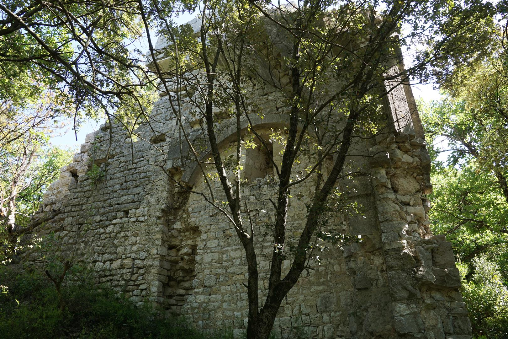
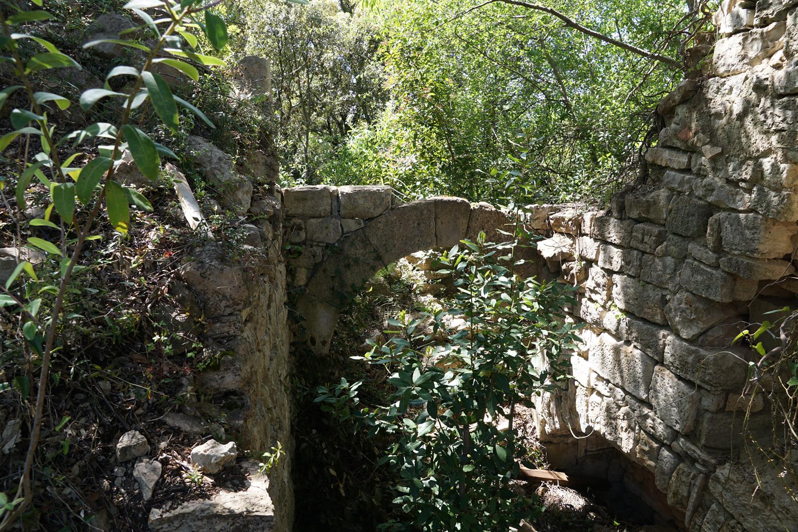
On a hilltop about 1 km further along, we find the remains of a medieval fortress and a village. The fortress is said to have been dismantled by Blanche de Castille (queen of France, wife of Louis VIII, and regent from 1226 after the king’s death). The destruction of the fortress would have aimed to punish the lord of Montredon who robbed and pillaged the countryside. Legend perhaps… In this hilltop site we also see the ruins of village houses which were occupied up until the 19th century.

Saint-Julien-de-Montredon

Another couple km and we come upon the curious chapel of Saint-Julien. This chapel consists, in fact, of 2 parallel chapels. The northside chapel was built in the 11th century near or on the remains of a roman villa and near a Roman road leading south to Ambrussum on the via Domitia. The southside chapel was built in the 12th century. Both were restored in the 17th century, and perhaps more recently also. As far as I can remember, I have never seen a double chapel like this anywhere else in the area.
Salinelles
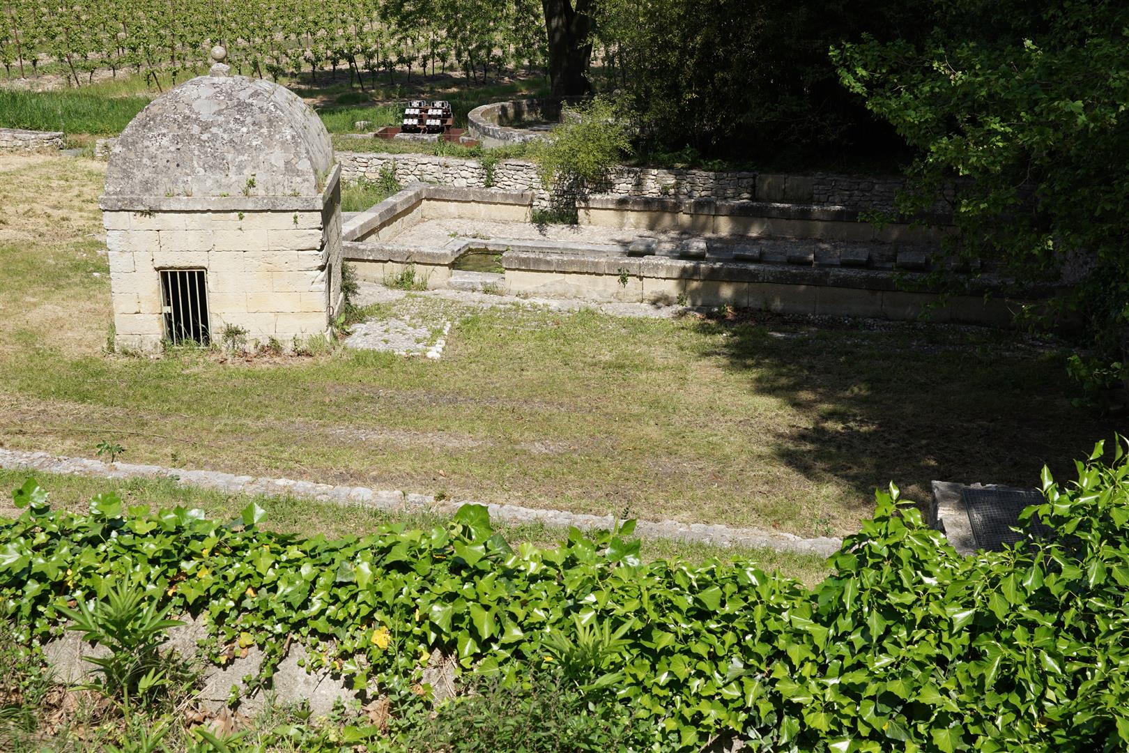
Salinelles is known for and was once prosperous due to the extraction of sepiolite (known in French as “Terre de Sommières”). This is a type of clay with excellent absorptive properties which is used to remove grease from textiles. Mining of sepiolite was done by many families in small excavations up to 6 or 7 metres deep. The best sepiolite was found in the village and to the north towards Runel. The last mining operations ceased in 1981 when it became impossible to extract clay due to flooding of the mine shafts. It is possible that shaft excavation had somehow pierced an impermeable layer over an artesian aquifer. Pumps capable of extracting 300 cubic metres of water per hour were apparently not able to lower the water level in the mines. Shafts have all been back-filled so little or nothing remains of this activity now. However, a wash basin and a noria in Salinelles remind us that there is water everywhere under and above ground here.
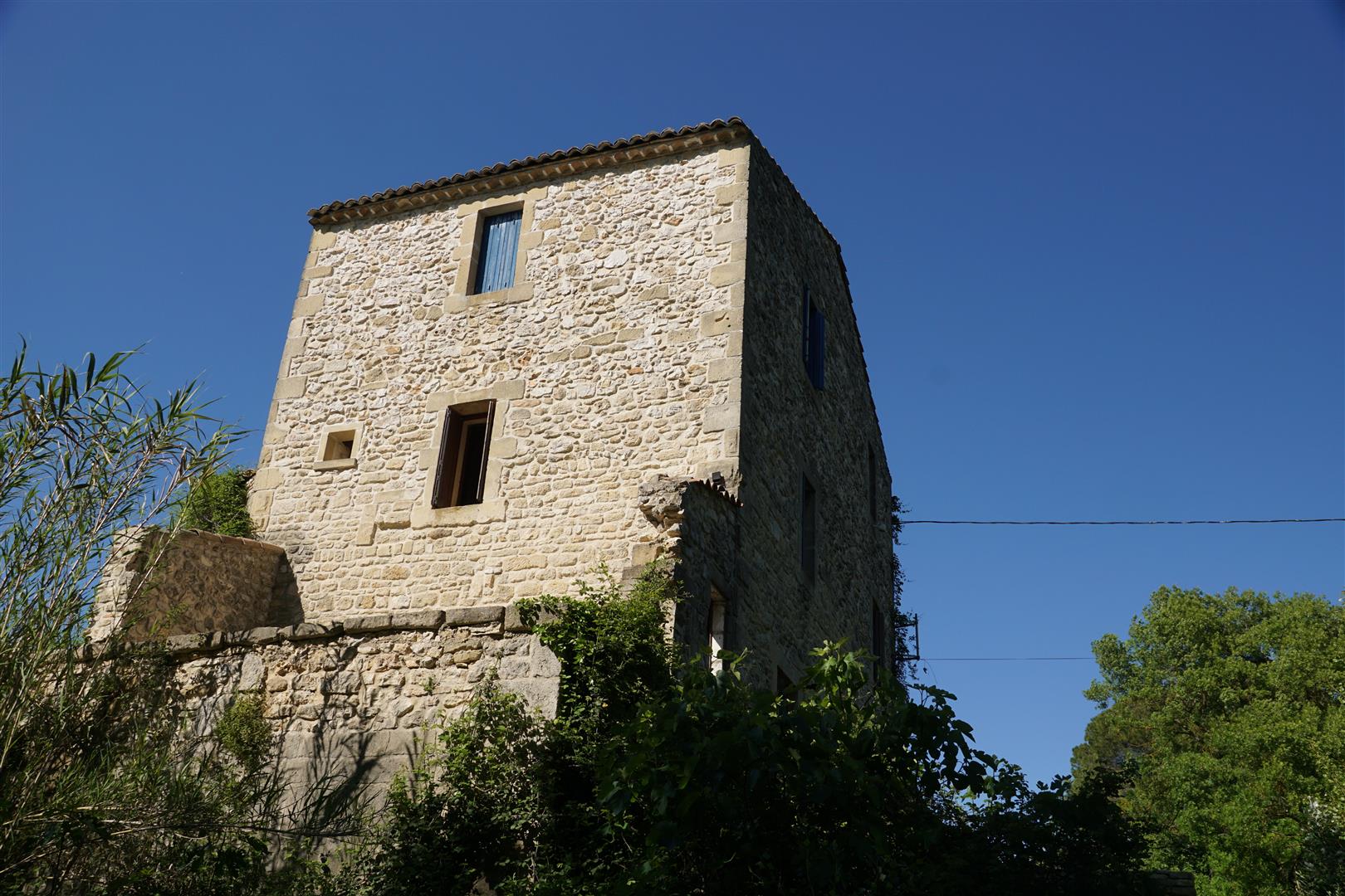
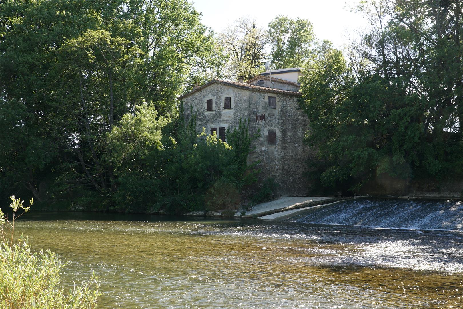
River mills

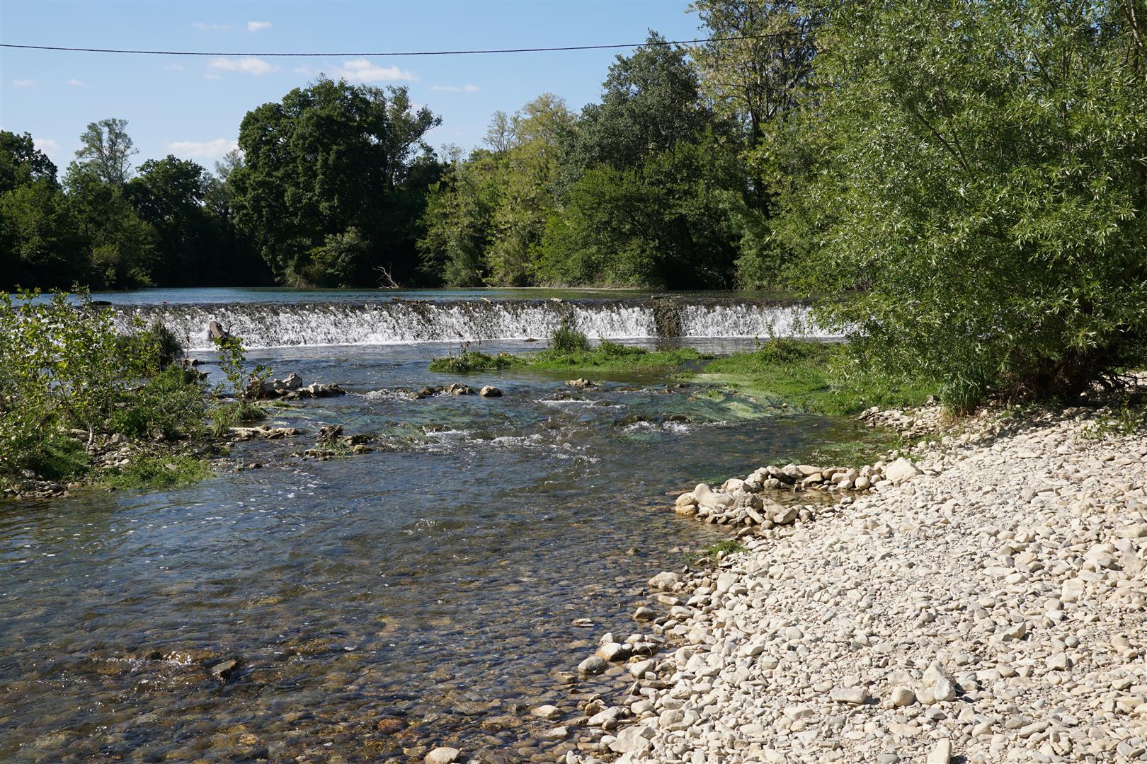
Along the river we see several abandoned or disused river mills. There is little to see at Runel except a river weir. However, at the Villevieille mill some level of renovation seems to be in progress. Here we were able to see a remarkable stone spiral staircase on the main floor. Here also there is substantial evidence of vandalism. Across the river from Villevielle is Fontibus. These 2 mills seem to have shared a single weir.


A disused railroad
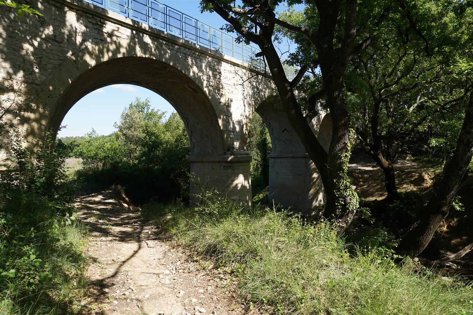
The abandoned Nîmes to Le Vigan railroad runs along this valley on the left bank. A variety of constructions remain, the most interesting one being the viaduct over the Aigalade stream. This tributary of the Vidourle has steep banks on both sides so we have to detour away from the river to find this viaduct and use it to cross the stream before returning closer to the Vidourle.
You’ve missed out the Moulin de Pattus in Salinelles!
My family and I bought and renovated this beautiful Mill 14 years ago and now it’s run as holiday gites and remains intact.
We have had a couple of floods that have seen the Vidourle’s banks breached but luckily not proved any issue to us.
Hi Sarah thanks for your note. If you send me a photo of the mill I will add it to the article. We did not pass by the mill on the walk described in the article, which is why it is not mentioned. You can send the photo to lcdg@cluchey.com