On the western end of Mount Lozère a limestone plateau known as the “Cham des Bondons” bridges the space between Mont Lozère and the Sauveterre Causse. The Cham is interesting for a number of reasons.
-
- The plateau is sprinkled with an estimated 150 prehistoric monolithic standing stones. Over time, many have been knocked over but many are also still standing or have been replaced upright in modern times. The meaning or purpose of the stones is unknown. Religious significance, waymarkers for travellers, burial markers… ? Christian prelates, however, considered these monoliths to be a symbol of paganism and so some were voluntarily knocked down to signify the dominance of the Christian faith. These monoliths are all granite and have therefore been quarried elsewhere – presumably on Mount Lozère – and transported to the Cham to be erected. The Cham has the largest accumulation of these monoliths in southern France. No one knows why prehistoric peoples would have gone to all the trouble so the monoliths represent a cultural heritage yet to be explained. To the best of my knowledge, however, there are no upright monoliths along this particular route.
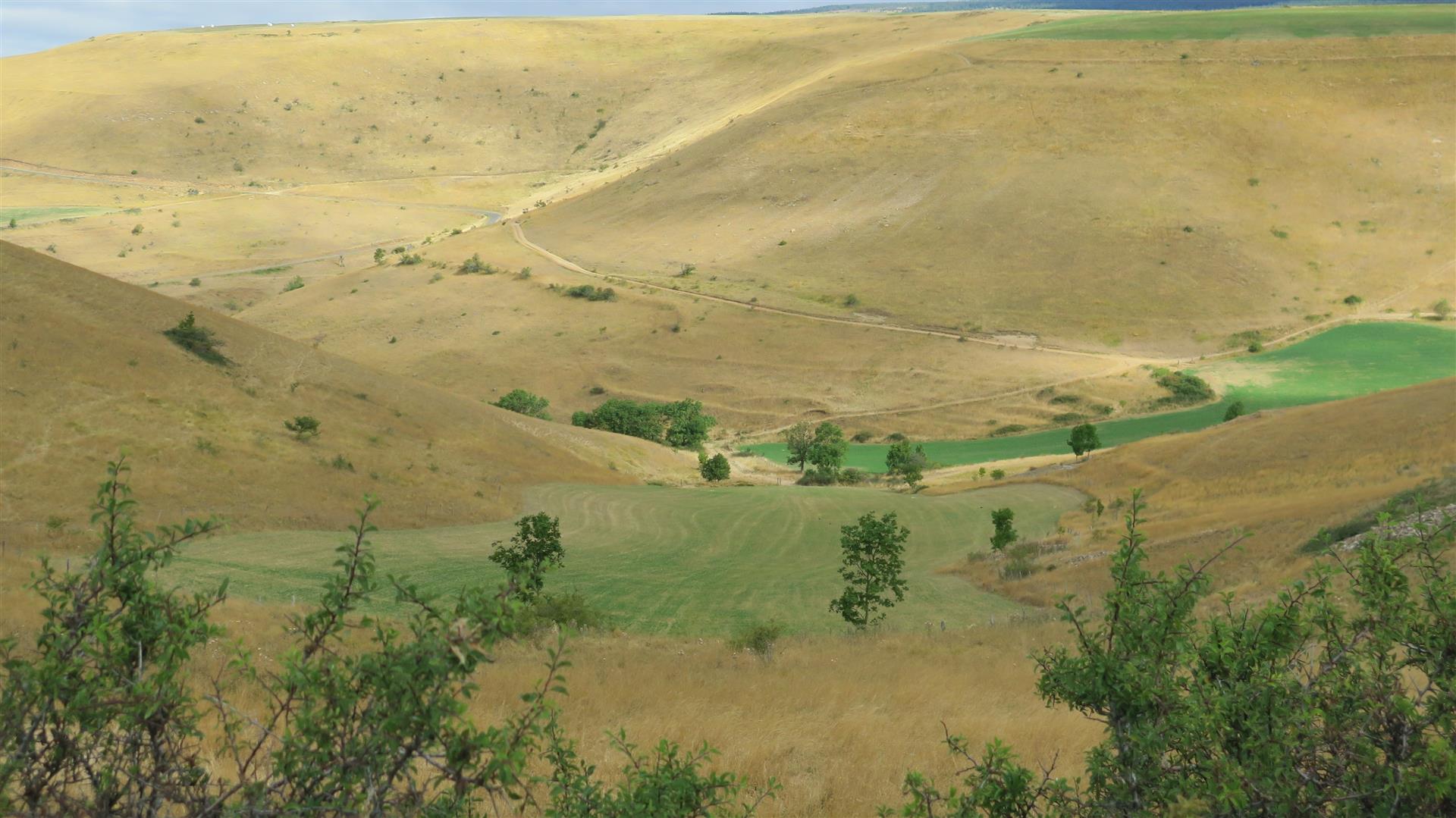
- A stream on the plateau – the Bramont – carries the unusual distinction of being a tributary of 2 major rivers. The Bramont rises on the north slope of the Cham where a portion of the river water disappears into underground cavities only to resurface on the south slope. The north slope waters flow towards the Lot river. The south slope waters flow to the Tarn. This unusual (but not unique) situation has been known to local people for a long time and has been the cause of disputes and legal battles. In particular attempts were made to block the flow to the south slope causing problems for mills on that slope. After various legal battles, a ministerial decision in 1869 regulated the shared use of the water. This decree is, incredibly, still valid.
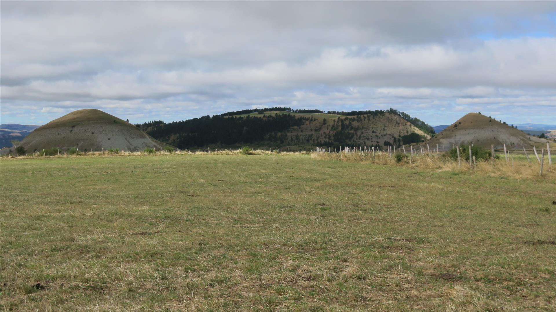
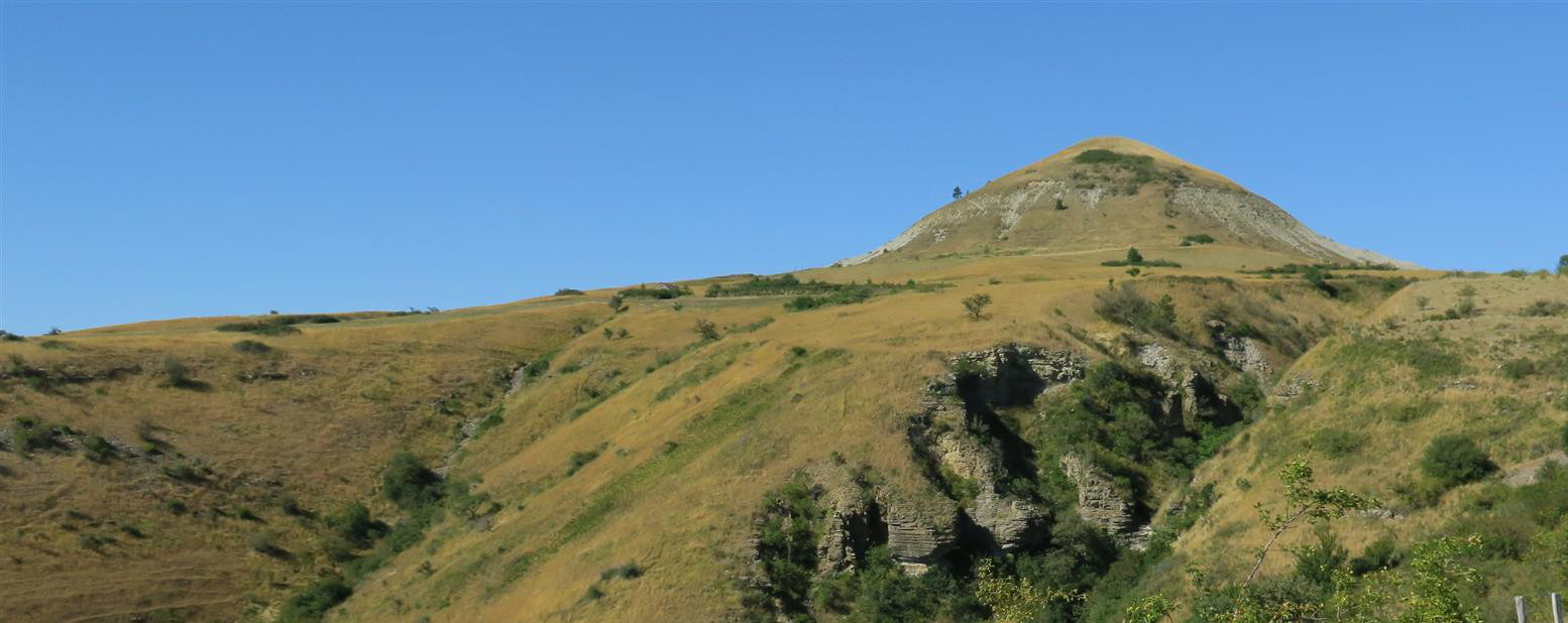
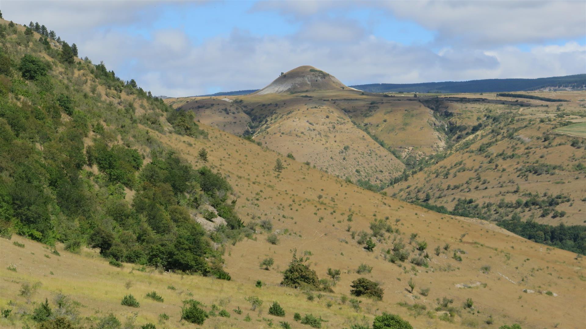
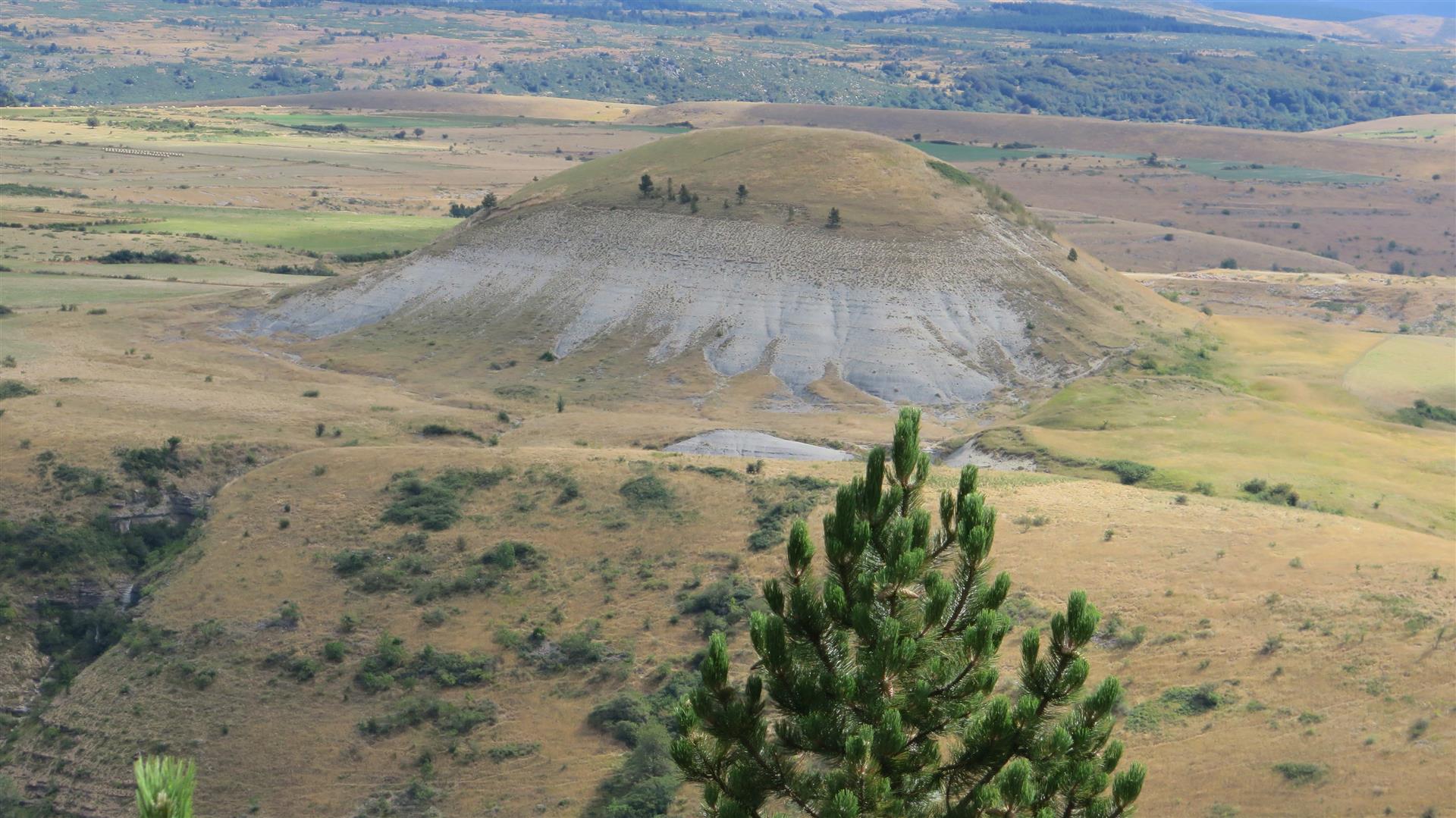
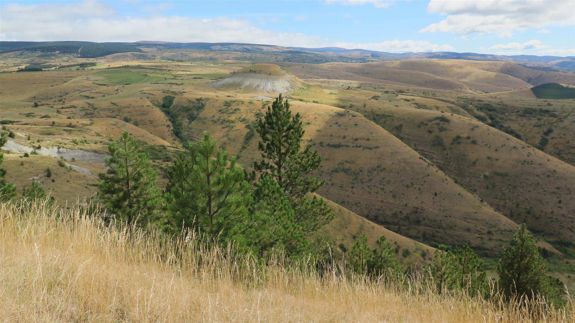
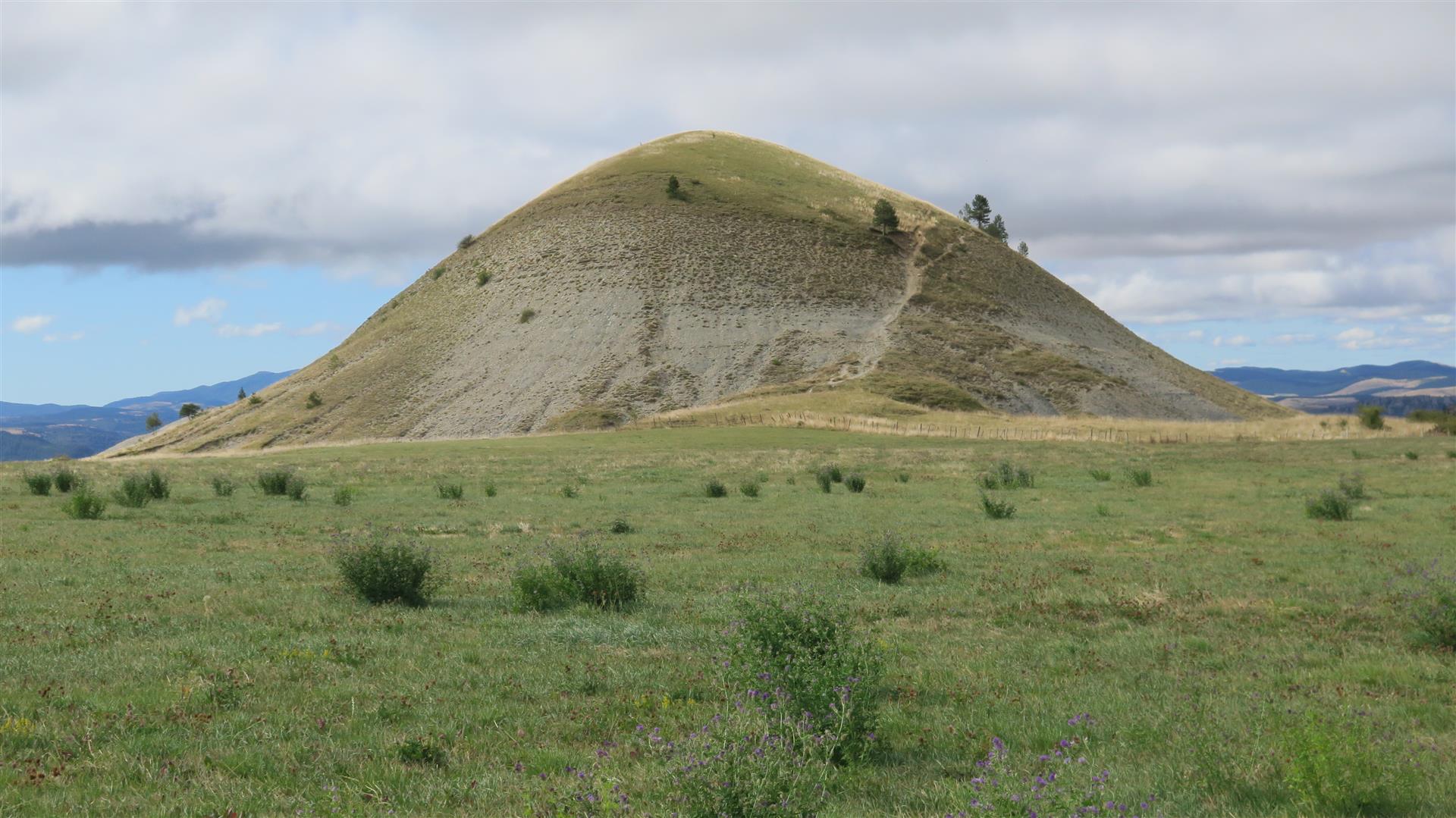
- On the plateau, there are 2 side by side rounded, conical shaped hills composed of a mixture of clay and layered rock (probably a moraine deposit) . They sit on the Cham at elevation ~ 1150 m and their summits are about 75 m higher. They are visible from a fair distance away and their similarity to female shapes has, predictably, given rise to various fertility legends. Each hill has a name and they are also known as “les Puechs” or “Les Bondons”.
- Near the Puechs, there is another hill of similar height but elongated in shape. The name of this hill – the Eschino d’Azé – is due to its resemblance to a donkey-back (“dos d’âne” in French) and hence the name in the Occitan or Languedoc language.
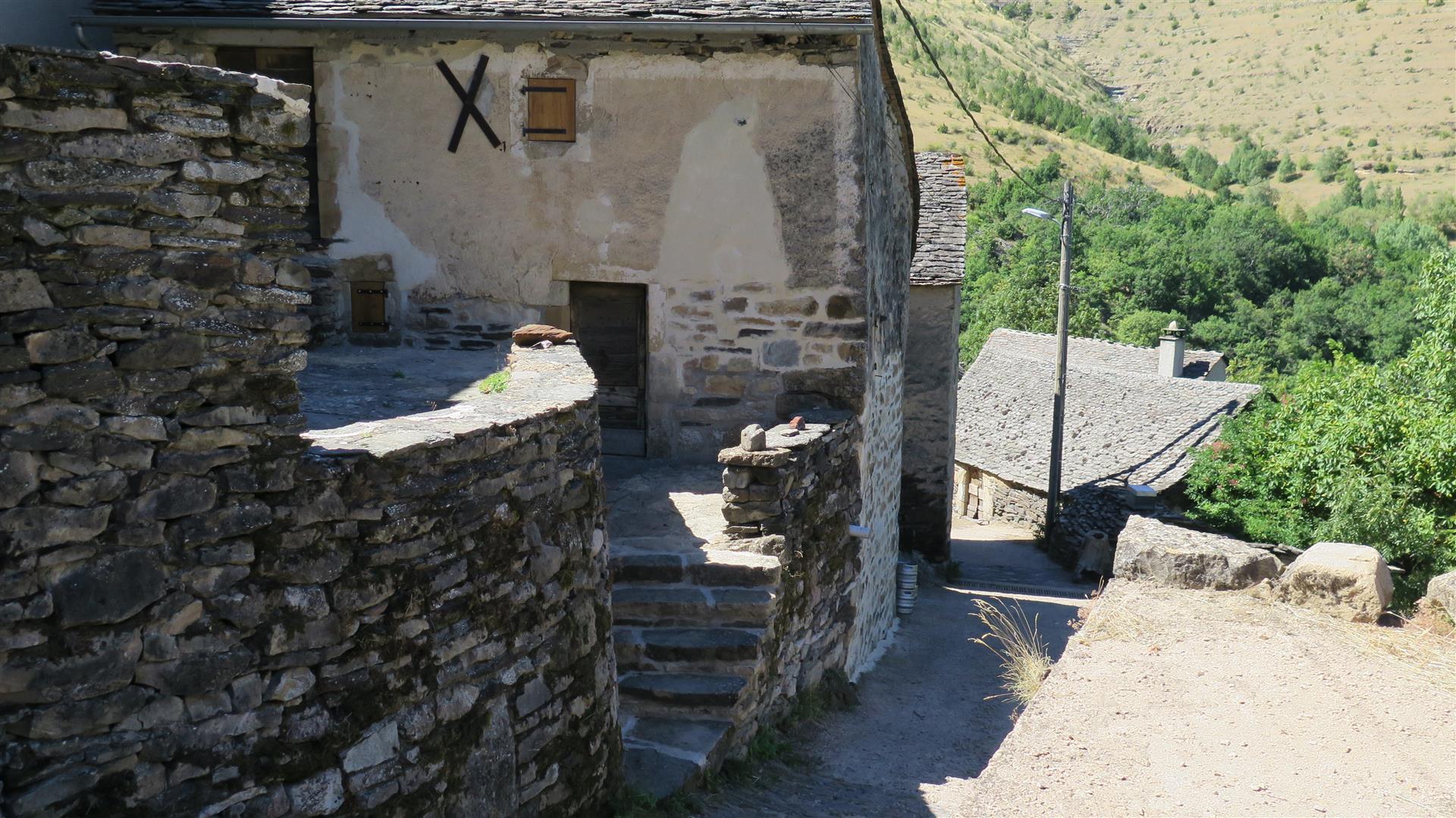
- On the steep south slopes of the Cham near the base of one of the Puechs, and just above the hamlet of Malaval, an entrance to and outflow of the Malaval cave is visible. This cave has been explored for up to 12 km underground and is reported to be the longest in the region. A subterranean stream flows in the cave and analysis has shown that and underground branch of the Bramont flowed though this cave as it shifted waters from the north slope to the south. A sample video.
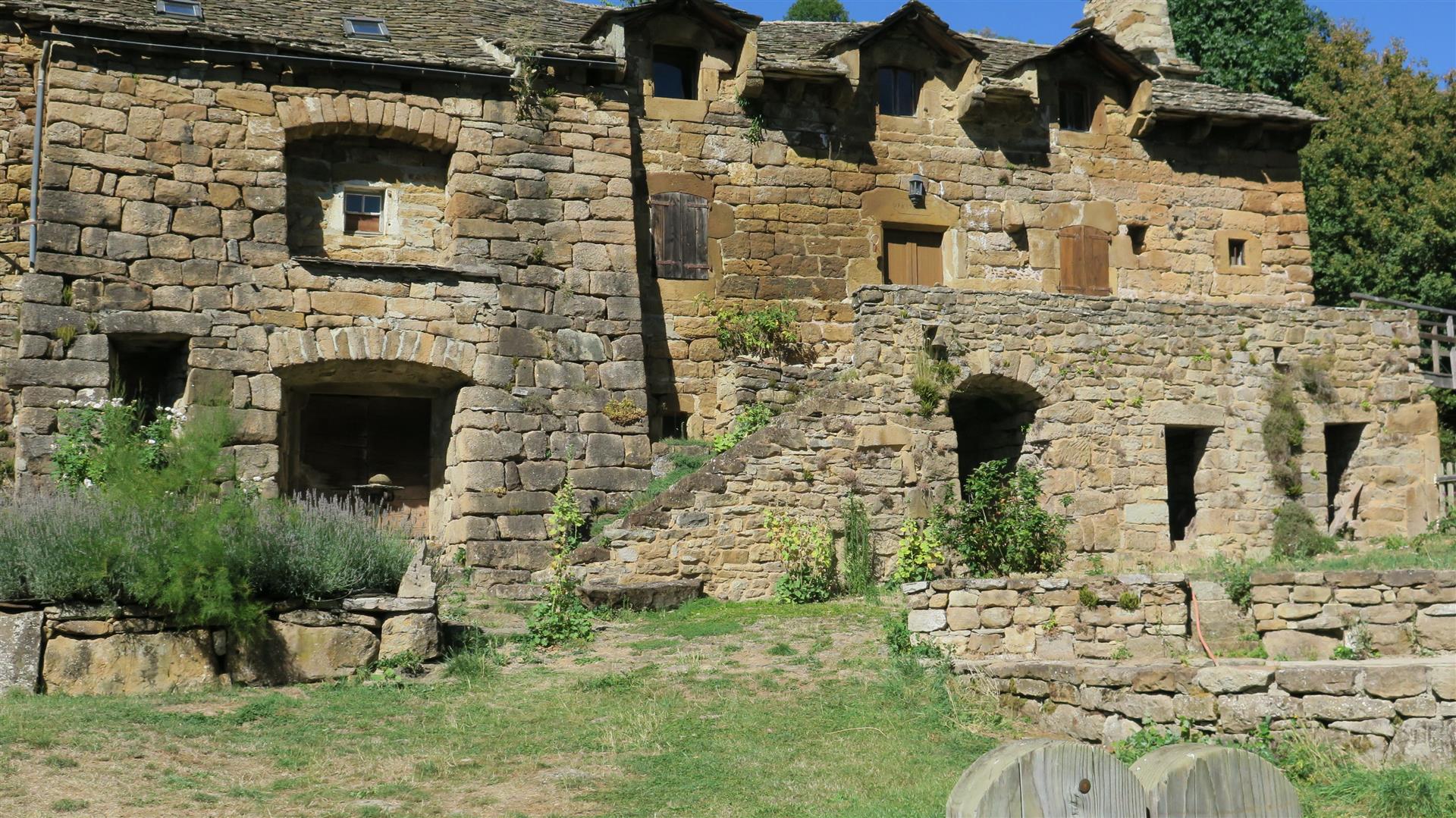
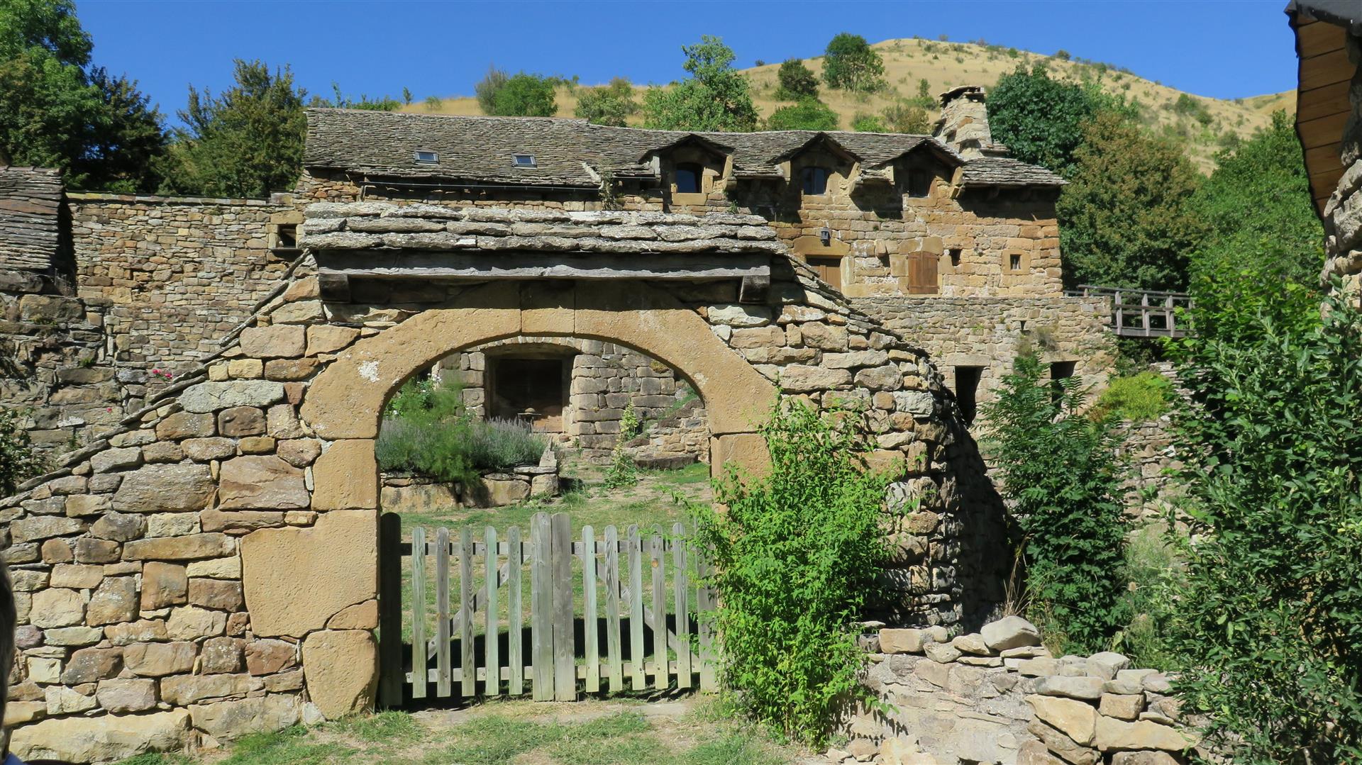


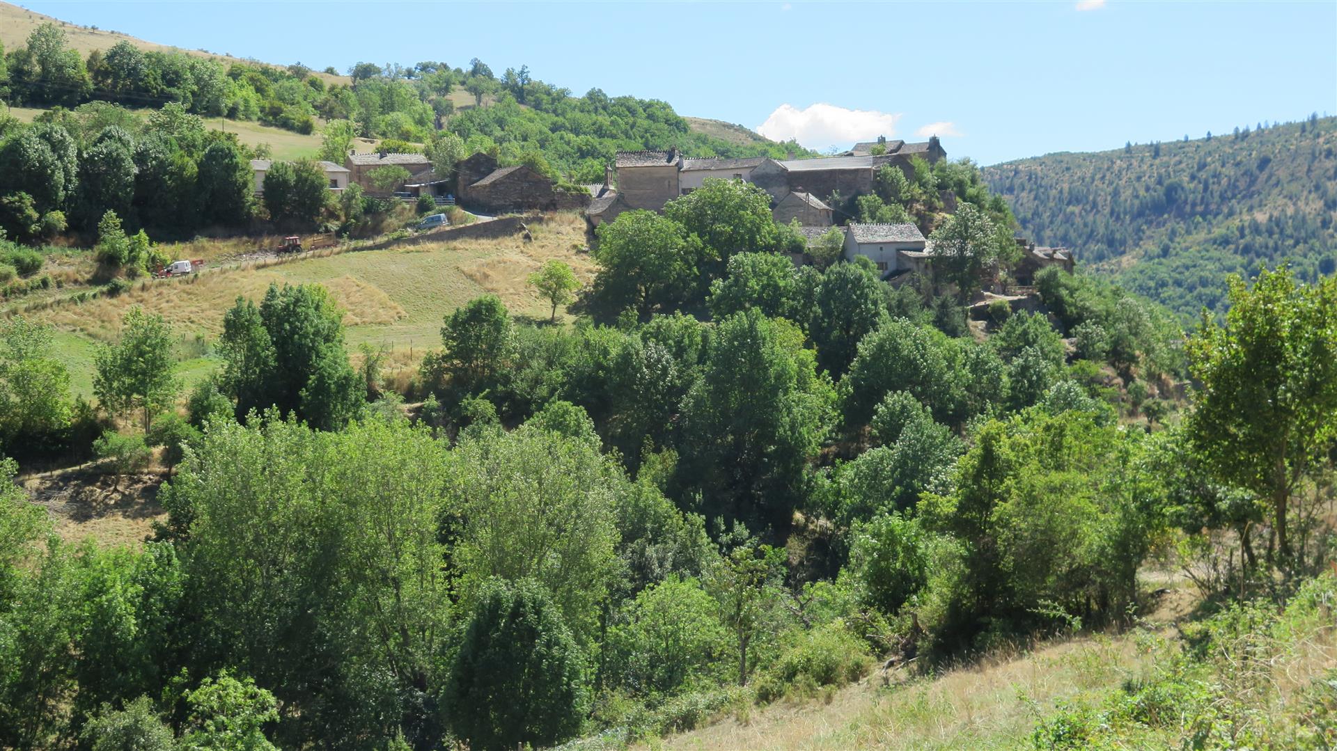

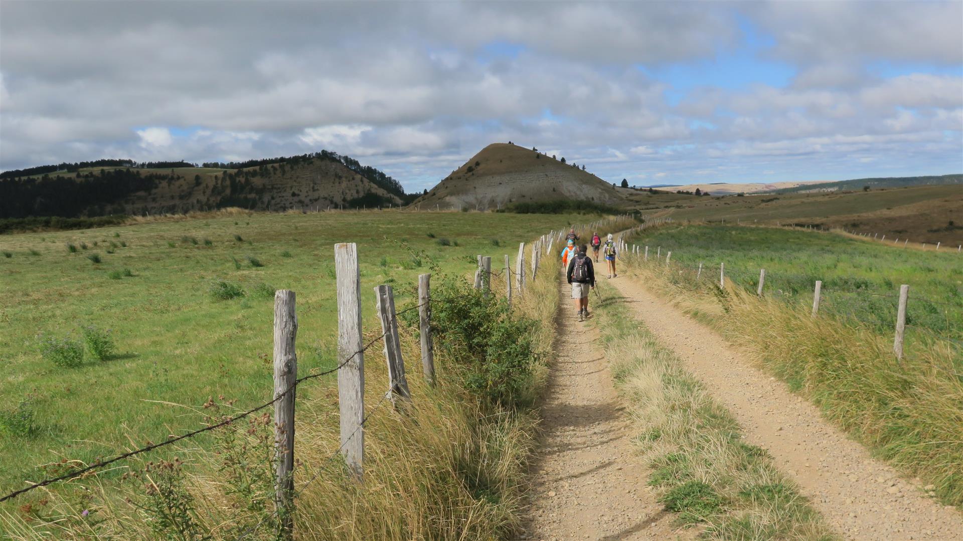


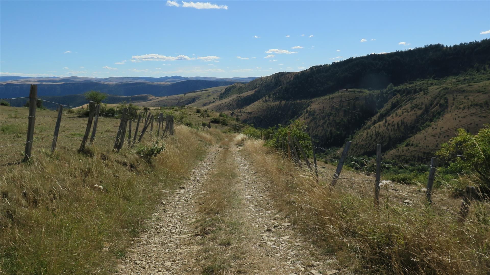
This hike starts at a remote spot on the plateau, not far from the Puechs. The track runs along the base of the Puechs and then to the left to eventually reach the top of the Eschino d’Aze. Along the way, there are plunging views to the valley where the Brenou/Bramont (Tarn) resurfaces. From the top of the Eschino, on a clear day you can see the peaks of Mount Lozère, Mount Aigoual and a panorama of the grand Causse plateaus. After leaving the Eschino, the track loops south around the base and heads down a steep slope toward the mountain village of Malbosc. After Malbosc, it’s uphill all the way, passing through the picturesque hamlet of Malaval. And then more uphill back to the cars parked on the Cham at about 1180 m elevation.
Notes
(1) the elevation profile suggests that this hike started at elevation of about 1400 m. This is patently incorrect. The hike started and ended at the same spot, at elevation around 1180 m. This is an illustration of the need to calibrate the Garmin GPSMap 64s at the start of the hike. It takes way too long to get a good fix on altitudes when left to itself.
(2) The 2 hillocks are named alternately as “puechs”, an old french word for summit or “trucs”, an old french word for an eminently visible highpoint. In much of the Lozère, the more popular term is truc.