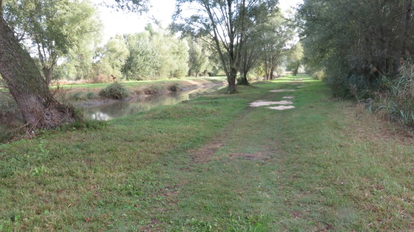
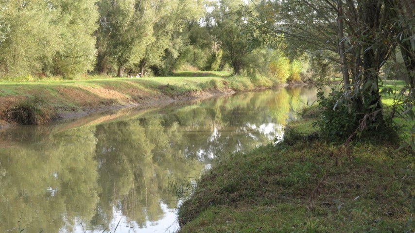
Contrary to places like Canada or Sweden, there are very few natural lakes in the Gard department. The number wavers between zero and very few. However, there are many other hydrological phenomenon just as interesting as natural lakes. For example, there are numerous springs (called “fonts” or “resurgences”) where substantial rivers emerge from under the ground and “pertes” where these same rivers disappear underground. All of this is due to the prevailing karstic limestone bedrock that favours the formation of grottos, caverns, avens and underground rivers.
Another less frequent phenomenon is the natural pond, usually quite small. Near the village of La Capelle however, there is a natural pond that swells to considerable size (up to 60 hectares) in the rainy season and ebbs back to a bed of reeds in dry seasons. The pond is in a low lying natural depression or “impluvium” with several obvious inflows from the surrounding hills and no surface outflow.

This curious situation results from geological movements that allowed the formation of a basin on hard limestone bedrock backfilled with semi-impermeable clay. Water flowing into the basin never leaves except by seepage into the water table. Experts believe that this pond supplies water for a number of “resurgences” in the area. Whatever the theories, this pond is an exceptional site and a rarity in the surrounding garrigues terrain.
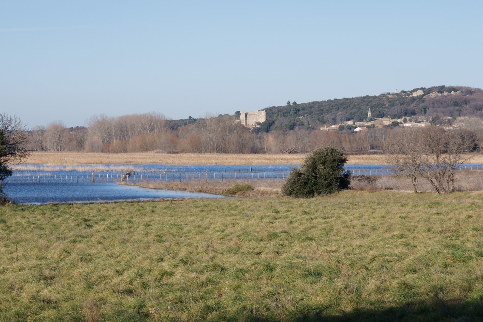
Over time it has also taken some vigorous action by local people to safeguard the site. Among development projects was the idea to build a drainage canal and convert 40 or 50 hectares of pond into arable land – fertility guaranteed of course. It didn’t happen and now the pond is a protected Natura 2000 site.
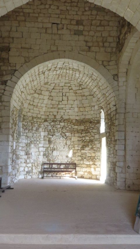
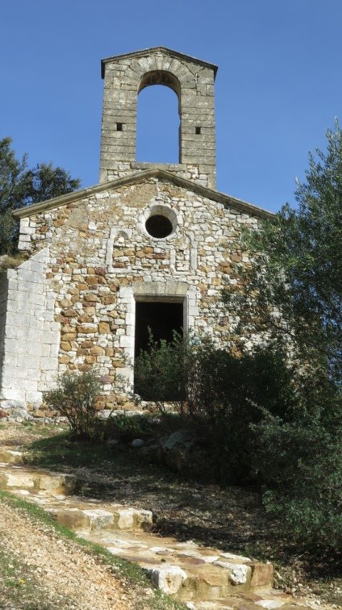
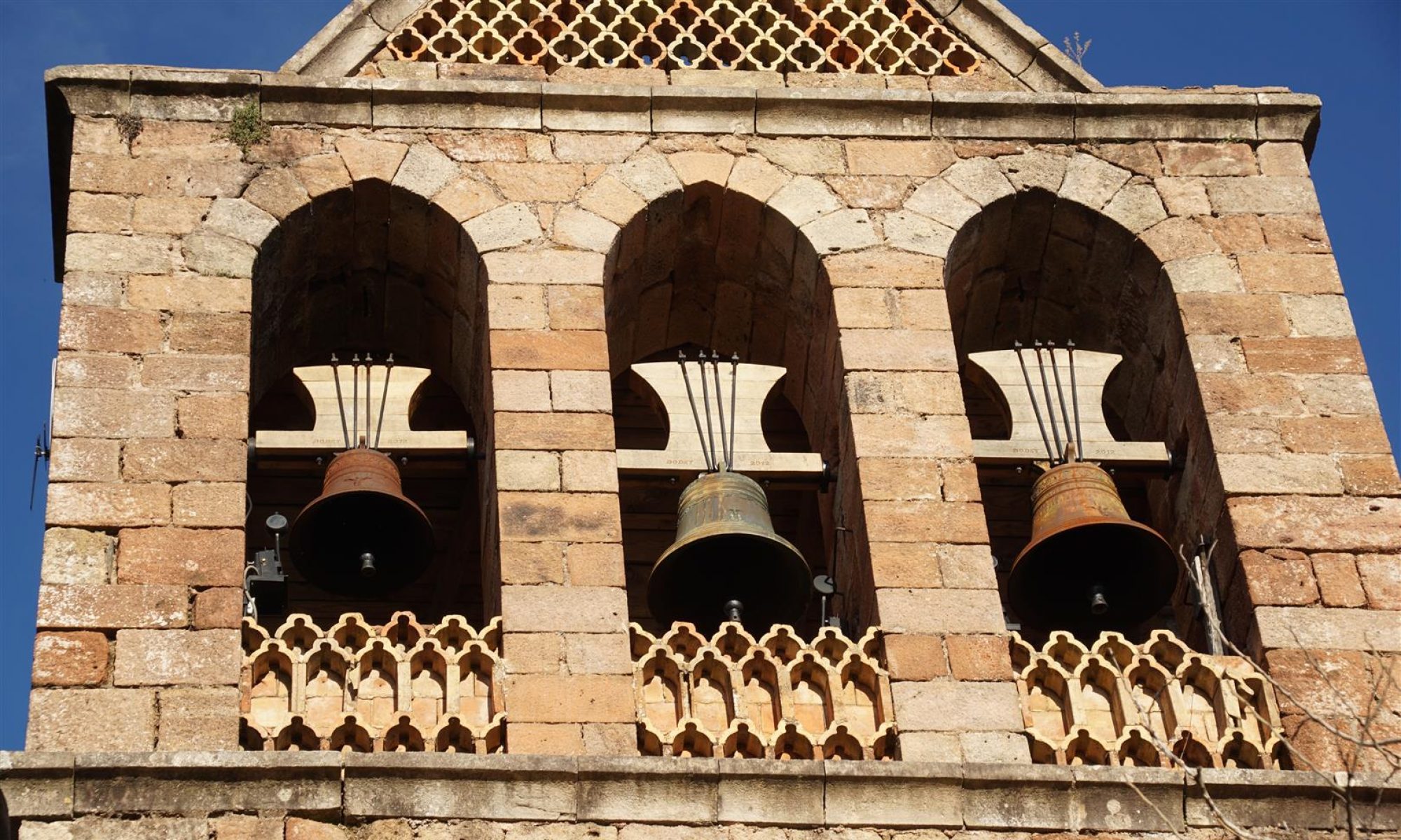
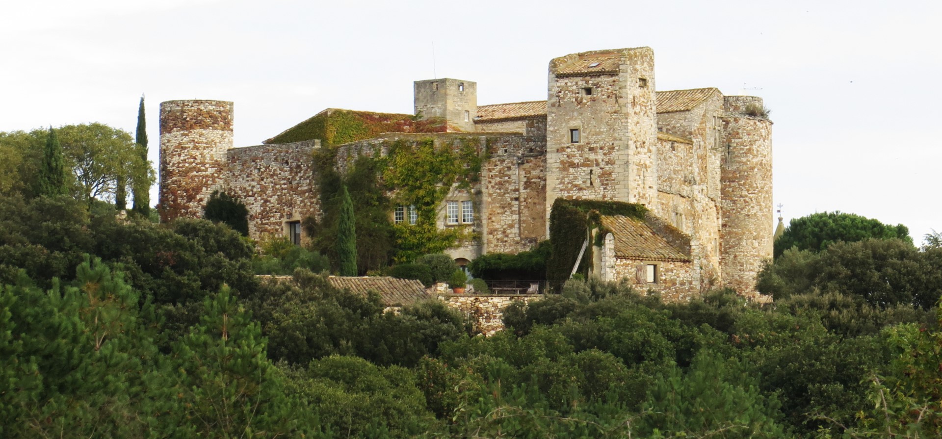
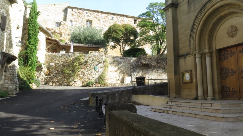
This walk takes us from a starting point next to La Capelle castle directly to the pond where there are signposted pathways and several information panels. After the pond, the track circles back through numerous apricot orchards and vinyards to Masmolene. The final section traverses the villages, first Masmolene and then La Capelle. At the top of the hill in Masmolene, the chapel of St Pierre is worth a look. And to finish, the track from the chapel to La Capelle runs through and area of rocky outcrops (known in french as a “chaos rocheux”).