
La Vernarède was a coal mining town in the second half of the 19th century and is now a sleepy village at the bottom of a deep valley below the Portes castle. In a companion article, I provide the background to a remarkable coal transport system called “les plans inclinés” that started in La Vernarède and transported coal over 2 mountain passes and an intervening valley to a railhead at La Levade. In this article, I describe a pleasant walk through the Vernarède valley in September where we spotted a number of interesting trees and plants and a few vestiges of the coal mining past.
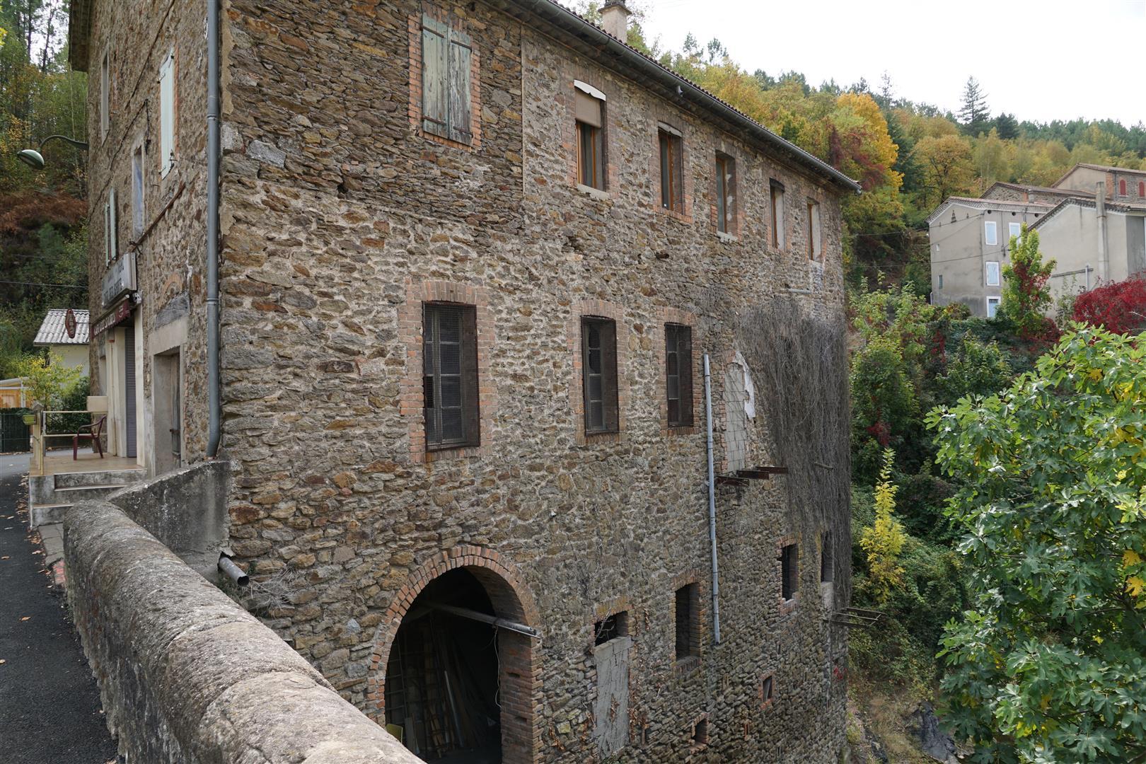
Starting from the town square in La Vernarède (where very little is happening on a weekday) we admire a faded “épicerie” sign on a building which looks like it was the original Ouguègne/La Vernarède rail station – a station at the end of the spur line from Chamborigaud. All the tracks were removed in the 20th century but traces of the rail line are still visible on the ground and on IGN maps if you look closely. The line connected La Vernarède to la Jasse and then on to the main line at Chamborigaud via various tunnels and viaducts – most of which were blown up during the 20th century (easier to destroy than maintain). The rail line, of course, was primarily built to move coal. From the La Vernarède station an additional private rail track extension of about 1 km in length led to the mine further south in the valley. So this town square was the central point of the business of moving coal out of the valley. Before the railroad arrived, this square was the point of departure of small coal wagons on the steam traction system called the “plans inclinés”. See the main article.
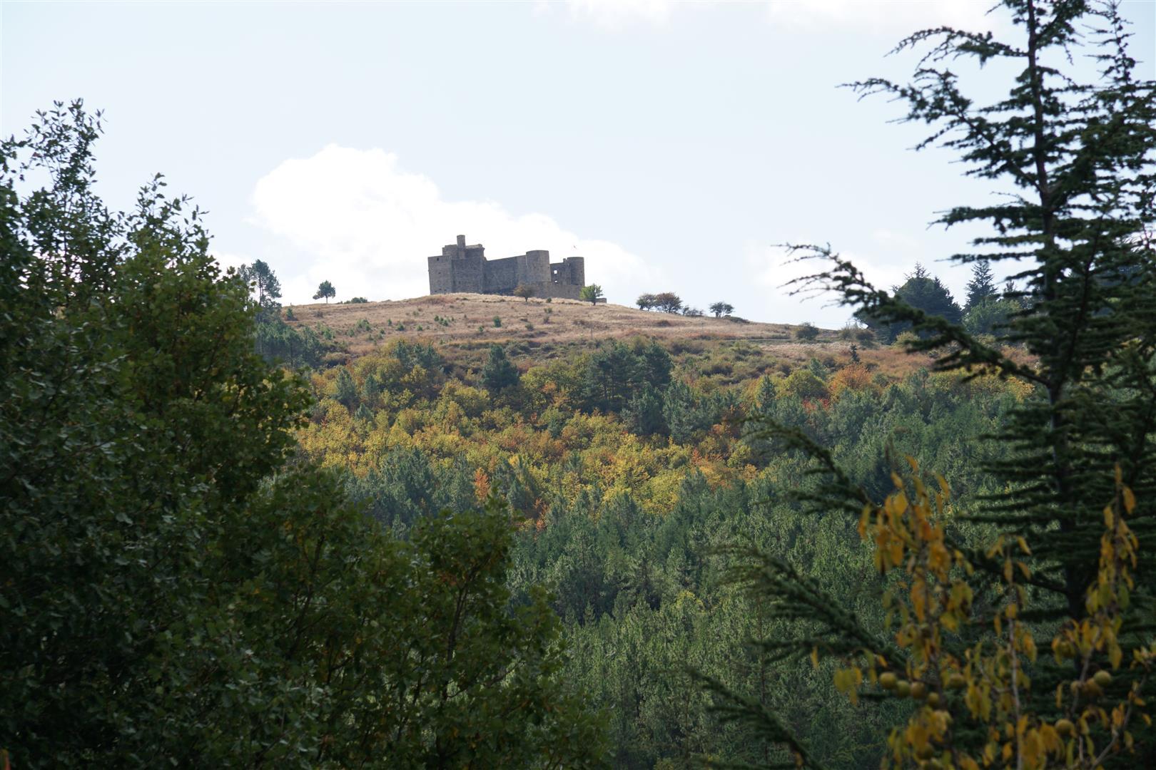
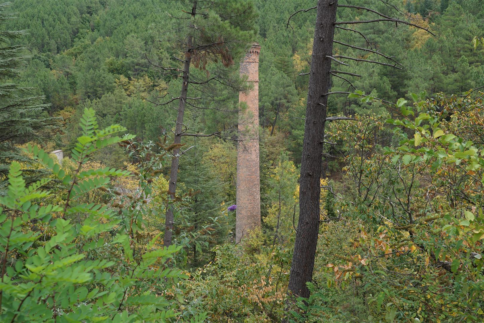
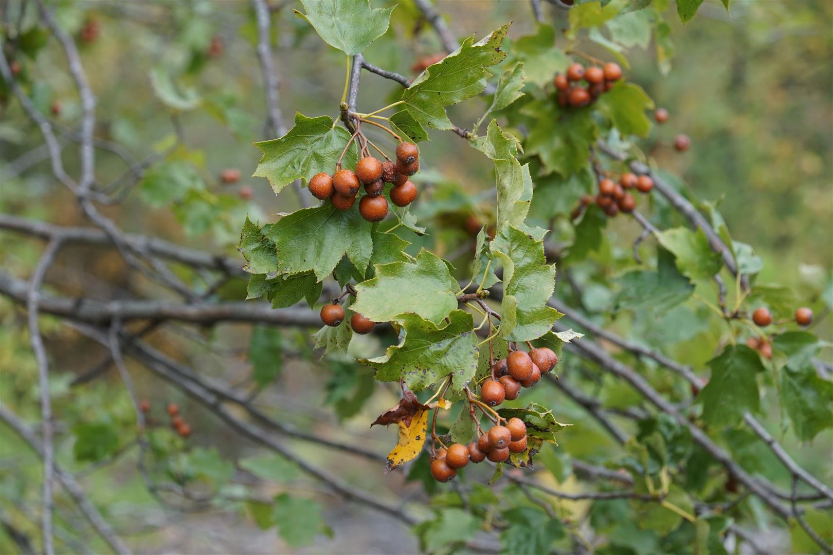
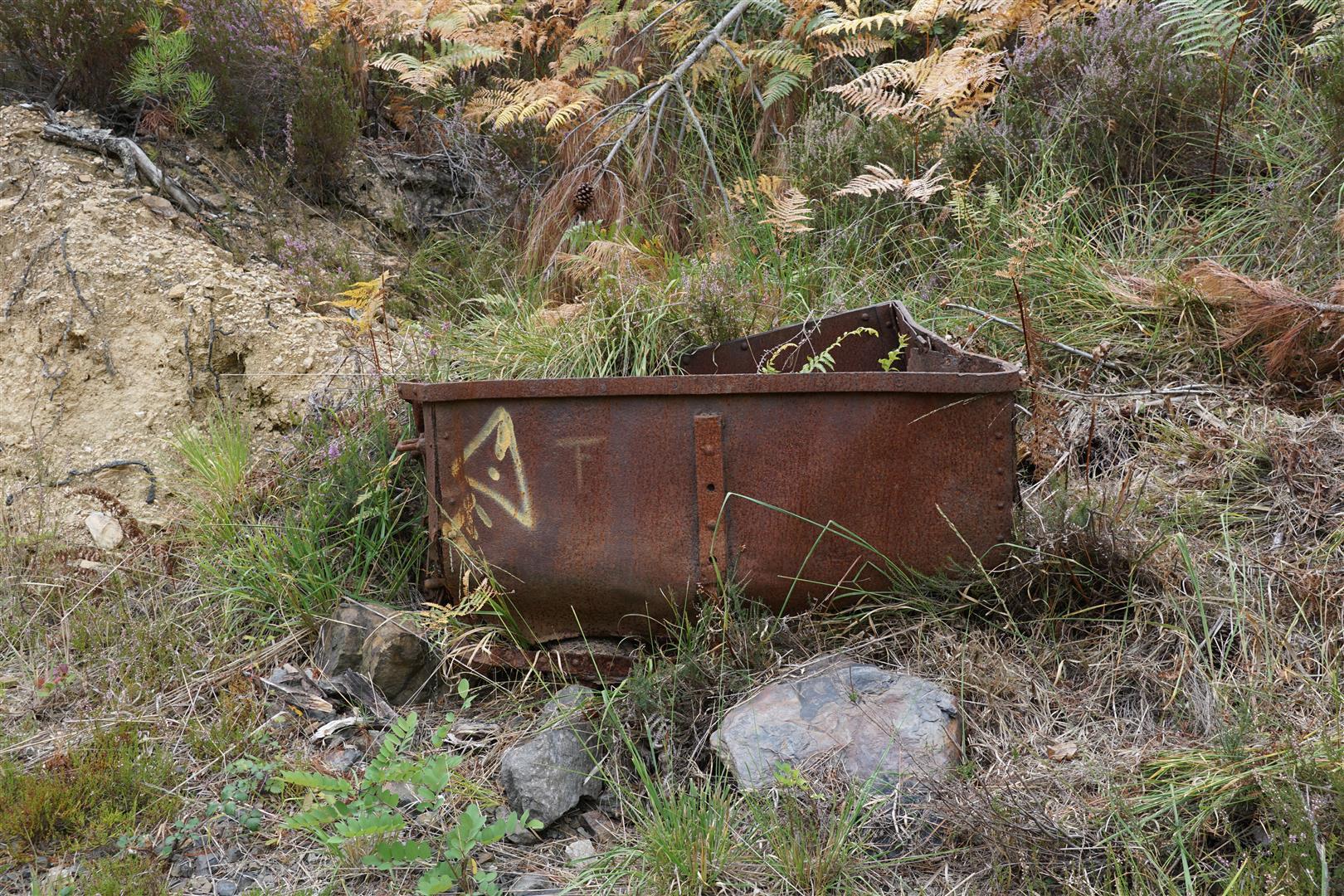
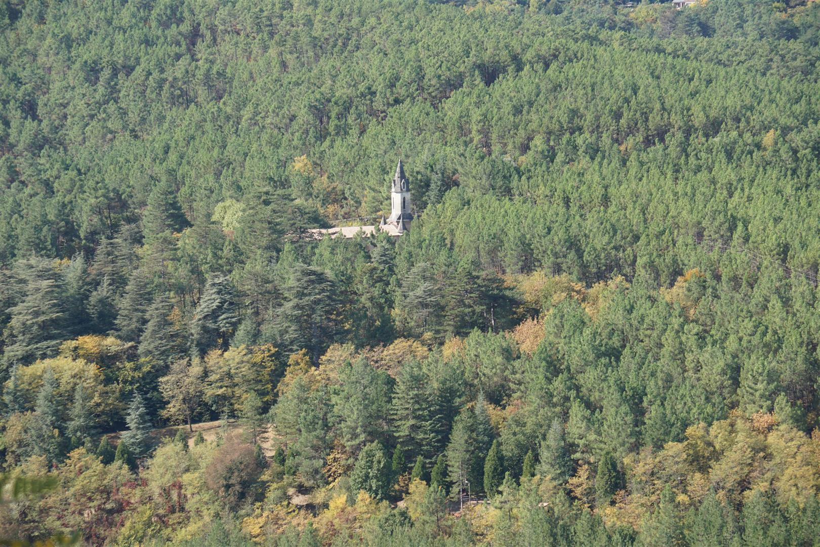
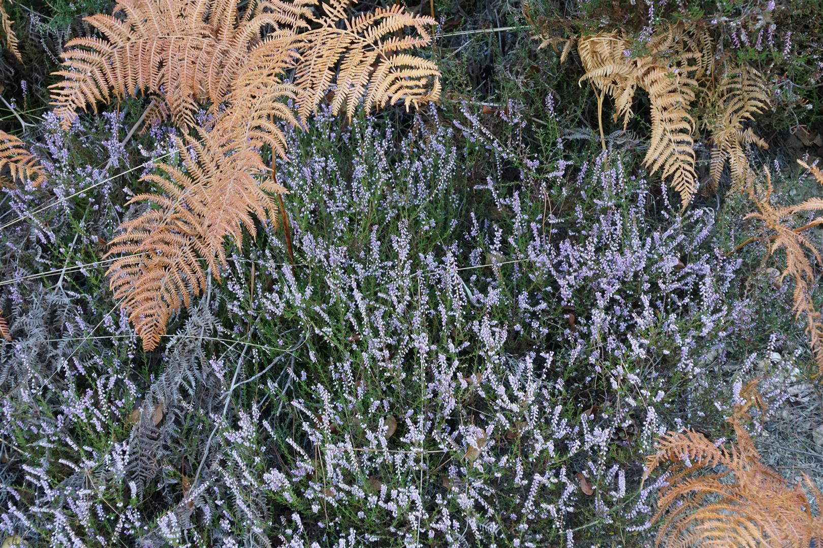
On this walk, we pass the old station building, turn left to cross the Broussous stream and left again to follow a forest trail that runs north along the valley’s right bank, then along some switchbacks, past an isolated house at Prentigarde (how do people live in these isolated houses ?) to reach a mobile phone antenna at the high point near Les Blachères. From here, there is a great view of the village 200 m below and on to the north flanks of Mount Lozère. Our track then continues south to the end of the valley and loops back to La Vernarède via the left bank of the Broussous stream. At the far south end of the valley, you are almost directly below the Portes castle sitting high up in the pass. If you are lucky you will hear the a deer’s mating call. But most of the interest at this point is the flora. In September there are abundant examples of phytolacca americana – a pretty, but invasive weed. We also spot several young specimens of the sorbus torminalis – an uncommon form of mountain ash which seems to like the soil and location. Several other indicators suggest that the soil here, unlike the nearby garrigues, is not too calcareous – for example we see lots of heather in flower. And many pines. Finally about 800 m before reaching La Vernarède, there is a tall brick chimney at Pourcharesses. No indication on any signs as to what this was used for, but from the IGN maps it looks like this was the endpoint of the gravitational down ramp of the plans inclinés, returning empty coal cars from Pereyrols.


Check out the map below