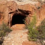
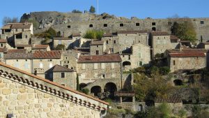
This circuit starting from Maussane-les-Alpilles winds along quiet streets and through a golf course in the shadow of the fortress of Les Baux-de-Provence before passing by remnants of the bauxite mining industry. Bauxite was first discovered in the area around 1820 and from 1850 industrial methods to extract extract aluminium from bauxite became available. Several mines were in operation around the village of Les Baux-de-Provence and until 1939, France was the world’s largest single producer of bauxite. The name bauxite, of course, derives from the village name les “Baux”. Nowadays the mines are abandoned and in at least one case, flooded, but satellite images make it fairly easy to see where the mines were : the barren landscapes are tinted ocre red. Along this walking route there is a small mine gallery entrance, probably the result of exploratory digging. The largest bauxite mine site is near Mas Rouge (not near this route). However near the above-mentioned gallery entrance, there are 2 large abandoned bauxite quarries (too dangerous to visit).
Bourdic’s strange rock sculptures
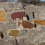
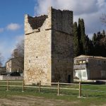
This circuit starts from the Bourdic wine coop, just north of the centre of the village. Apart from the chance to sample or buy some local wines in the coop, the main attraction of this walk is to pass by a set of unusual coloured rock carvings on a low rock face surrounded by vineyards. Despite an (uninformative) article in the local newspaper, I have never been able to discover information about the date or the artist. The carvings are never-the-less recent, probably done between 2010 and 2015. There is also an interesting old dovecote in the village of Garrigues. See the pictures below.
Map
Banne and the Granzon
Banne, a village in the southern part of the Ardèche department is known principally for the Fort, sitting on a rocky platform overlooking the plains of Jales, and for the history of coal mining. This walk starts in Banne but visits 2 other curiosities that are less well known.
The plateau des Gras
The Gras (or Grads) plateau is an area of limestone tablelands at altitudes of around 250 m located between Les Vans and Aubenas. The terrain of these highlands consists alternately of:
- rocky flatlands with very little topsoil and garrigue type vegetation or
- blockfields strewn with boulders standing up to 3 m high in random and chaotic positions intermixed with scrub evergreen oak and box trees.
The Mont Paon Castrum
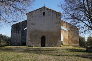
This loop starts from a parking spot on the D33a and passes by the Montpaon castrum, a ruined medieval church called St Peire d’Entremont and the St-Jean chapel.
What to see
The castrum has been the object of archeological digs and remains an active research site belonging to the Bouches du Rhone department. Various sources indicate the main period of occupation around the 11th-13th century, but it is safe to assume that the site would have been used as a lookout position from earliest times. The site overlooks the western end of the Alpilles hills and is in visual contact with the chateau at Les Baux de Provence. Continue reading “The Mont Paon Castrum”
