Le prieuré de Villeneuve-lez-Avignon
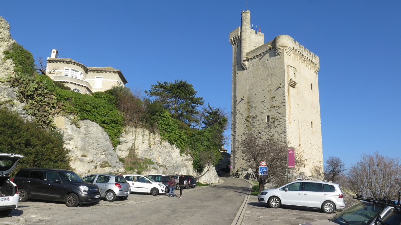
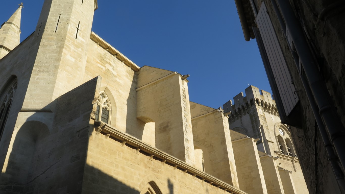
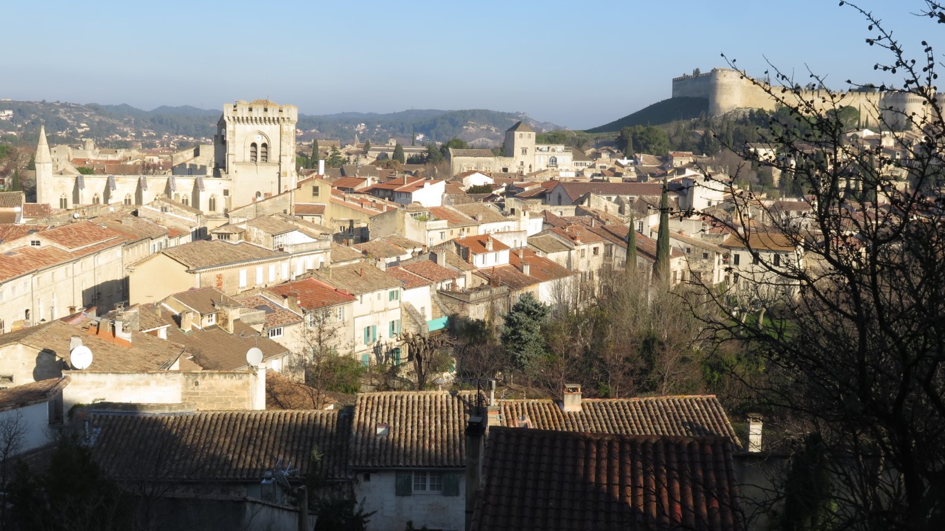
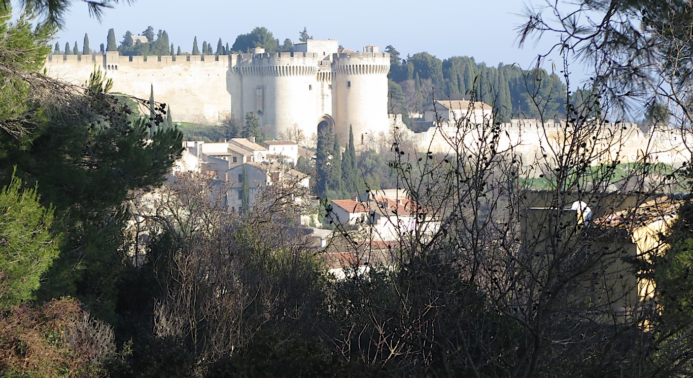
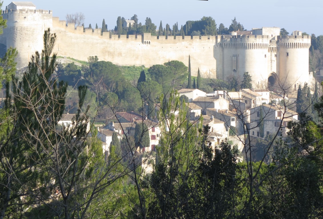
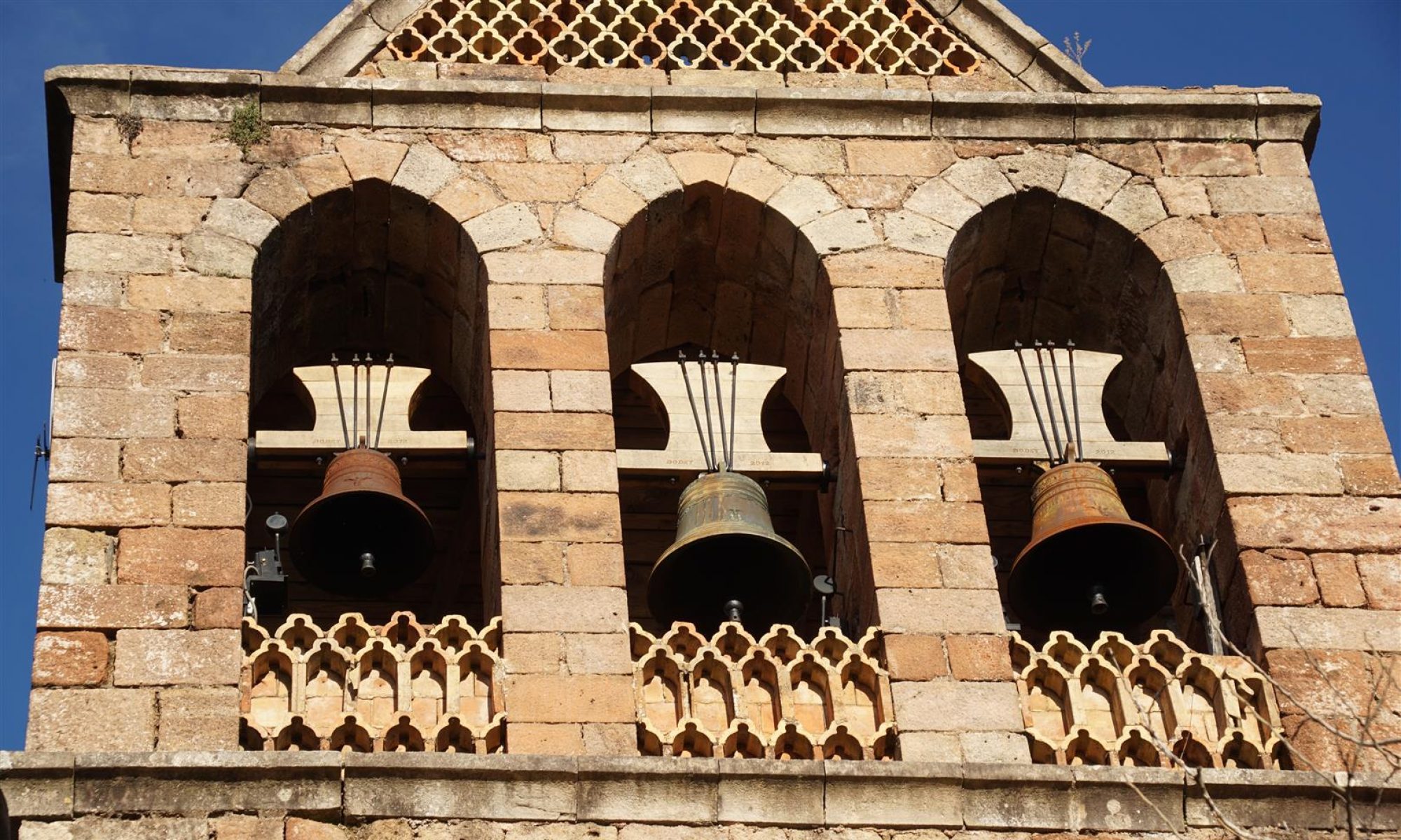
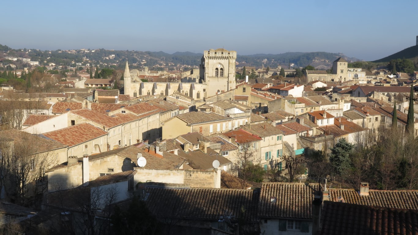
Villeneuve-les-Avignon is located on the right bank of the Rhone river, right across from Avignon. In 1292, thanks to the politics and land swaps of the time, the position became a post on the frontier of the royal domains of France. To the east, on the left bank of the Rhone, barons and kings pledged allegiance to the Holy Roman Empire, not to France. So in 1292, Philippe-le-Bel, king of France, agreed to the construction of defensive fortifications including the Philippe-le-Bel tower (what else?) and the Saint-André fortress. Not long after, Avignon became the home of the Catholic pope giving the French king even more reason to watch his neigbours. These defensive constructions, preserved to the present day, are landmarks of the modern city and visible from multiple angles along this route.
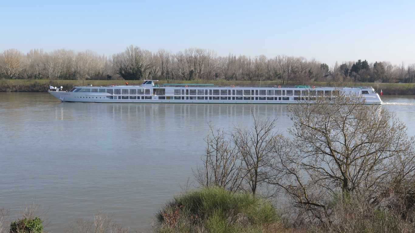
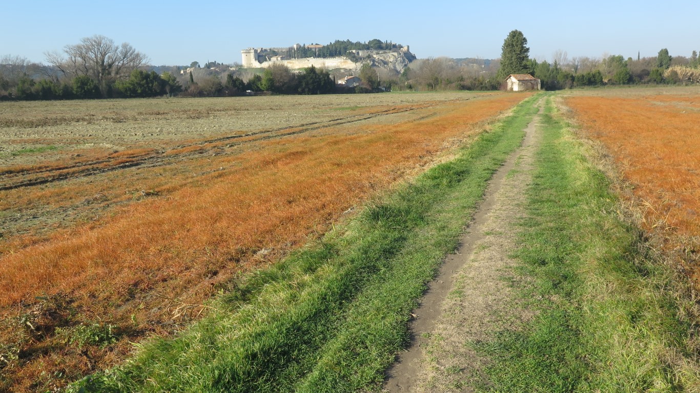
On this route, we start from the tower and walk up through an old village street on the way to the Mourgues hilltop park from where the views dominate the surroundings. After a further short jaunt through some older streets of Villeneuve, past the big Prieuré church, we end up on a long but easy route around the Abbaye river flats and along the Rhone river flood barrier. The river flats have a curious resemblance to the Camargue region (reeds, canals, pump houses, etc) and feel very different from the usual Gard department landscapes of rocky outcrops, scrub forest, dry rivers, and garrigue. The last 3 km along the flood barrier afford a good look at the river itself and several large islands, one of which is the largest river island in Europe. Sometimes the walker will also see tourist riverboats heading upstream to the locks midriver between 2 islands.
bateau de croisière fluviale sur le Rhône
La tour Philippe-le-Bel
lichen rayonnant au soleil d’hiver
La plaine de l’Abbaye
Vue de la ville depuis la plaine de l’Abbaye
Le prieuré de Villeneuve-lez-Avignon
Le prieuré et le fort de Villeneuve-lez-Avignon
Fort Saint-André
Fort Saint-André
Click for maps
Total distance: 10079 m Max elevation: 53 m Min elevation: 3 m Total climbing: 248 m Total descent: -235 m Average speed: 4.24 km/h Total time: 03:23:22
This website uses cookies so that we can provide you with the best user experience possible. Cookie information is stored in your browser and performs functions such as recognising you when you return to our website and helping our team to understand which sections of the website you find most interesting and useful.
You can adjust cookie settings by navigating the tabs on the left hand side.
Strictly Necessary Cookies
Strictly Necessary Cookies must be enabled at all times to permit the site to function properly.
These cookies include a cookie to record your language preference, cookies to permit the use of Google maps programming interfaces and maps, and cookies to permit the use of OpenStreetMap maps on this site.
If you disable these cookies, we will not be able to remember your language preferences.
3rd Party Cookies
This website uses the Matomo web analytics platform to measure site activity. Matomo places cookies in your browser to collect information such as visitor language, device type, time and duration of visit, pages viewed, downloads etc. None of this data can identify you personally. The collected data is retained on a server located in France, owned and operated by the owner of this website. The collected data is not used for advertising and is not shared with third parties.
Please enable Strictly Necessary Cookies first so that we can save your preferences!