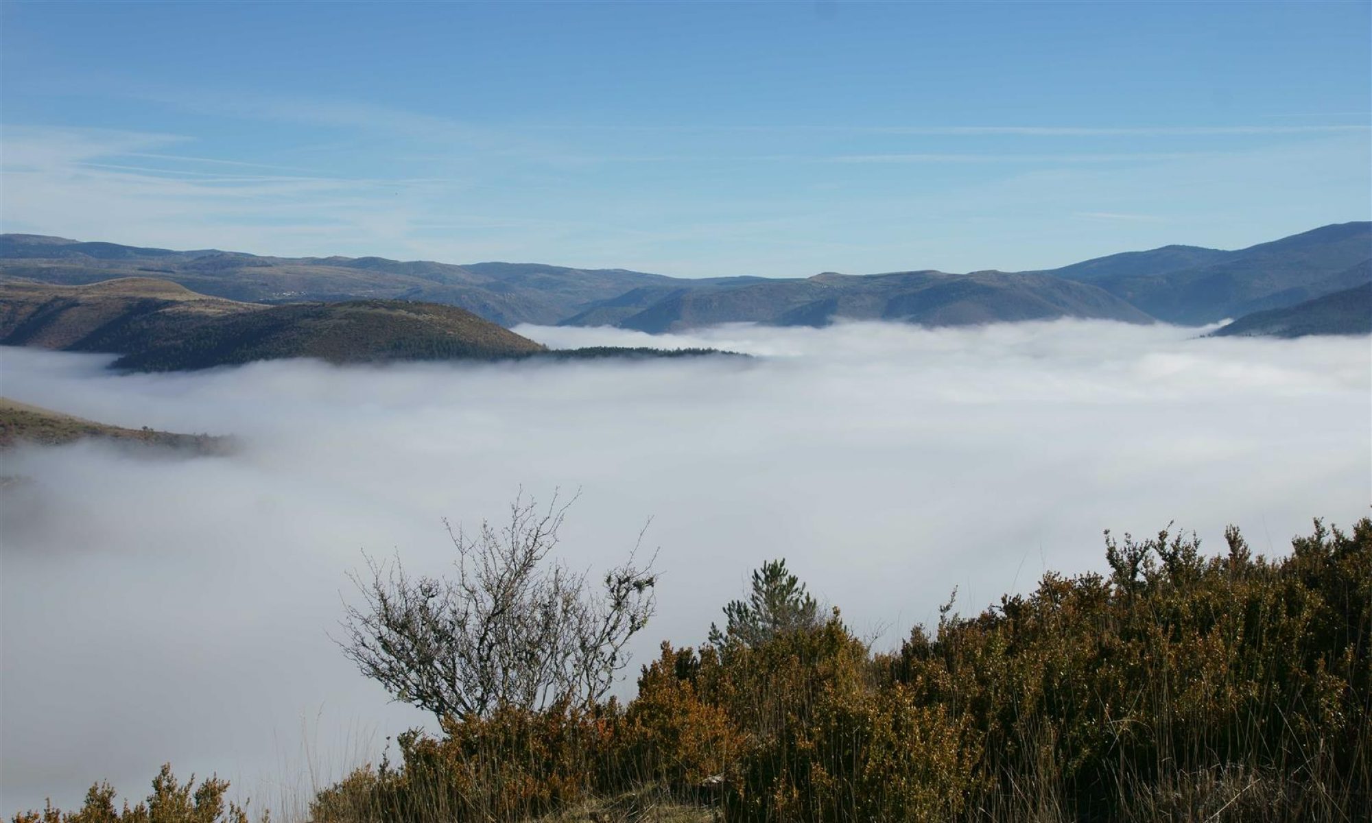
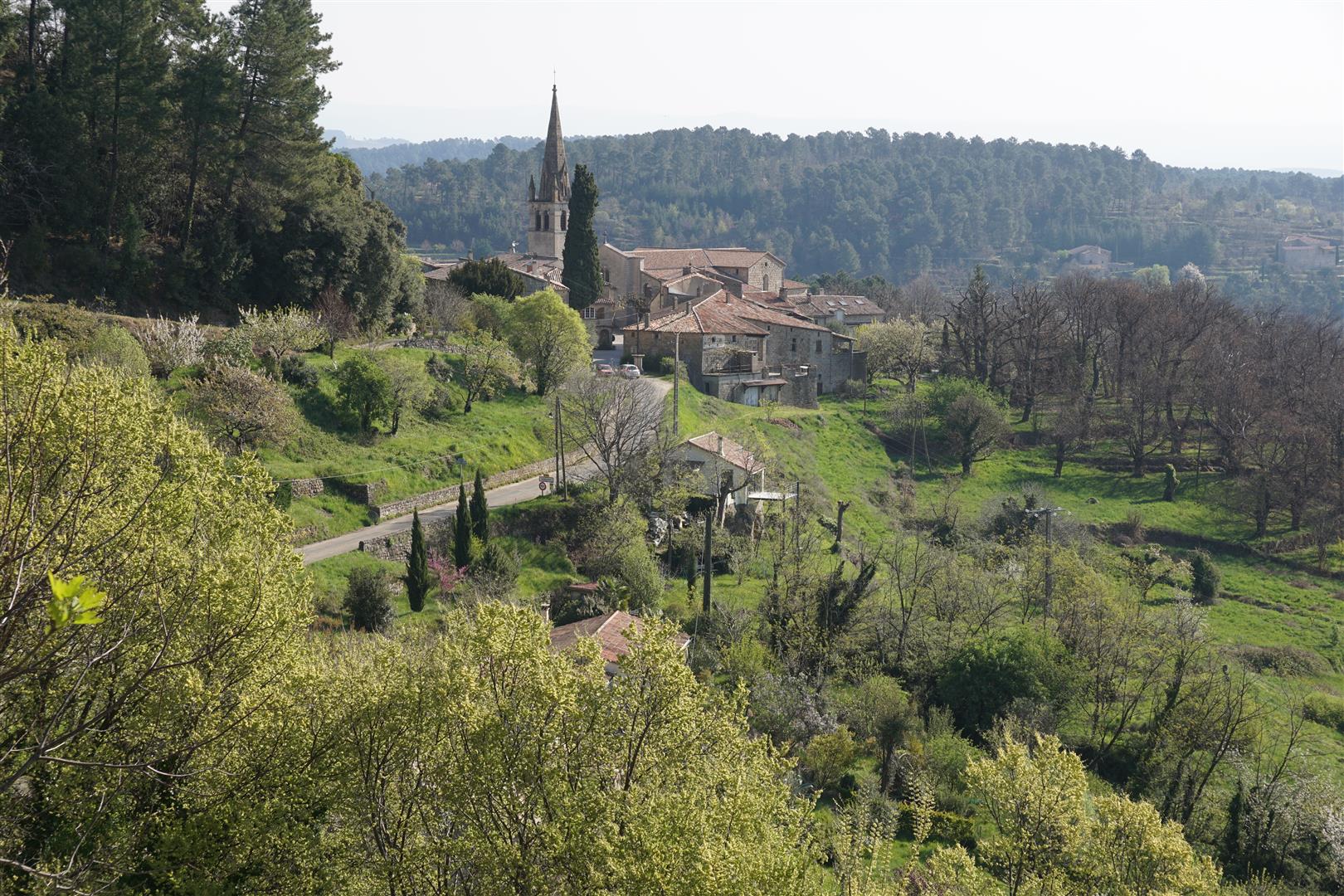
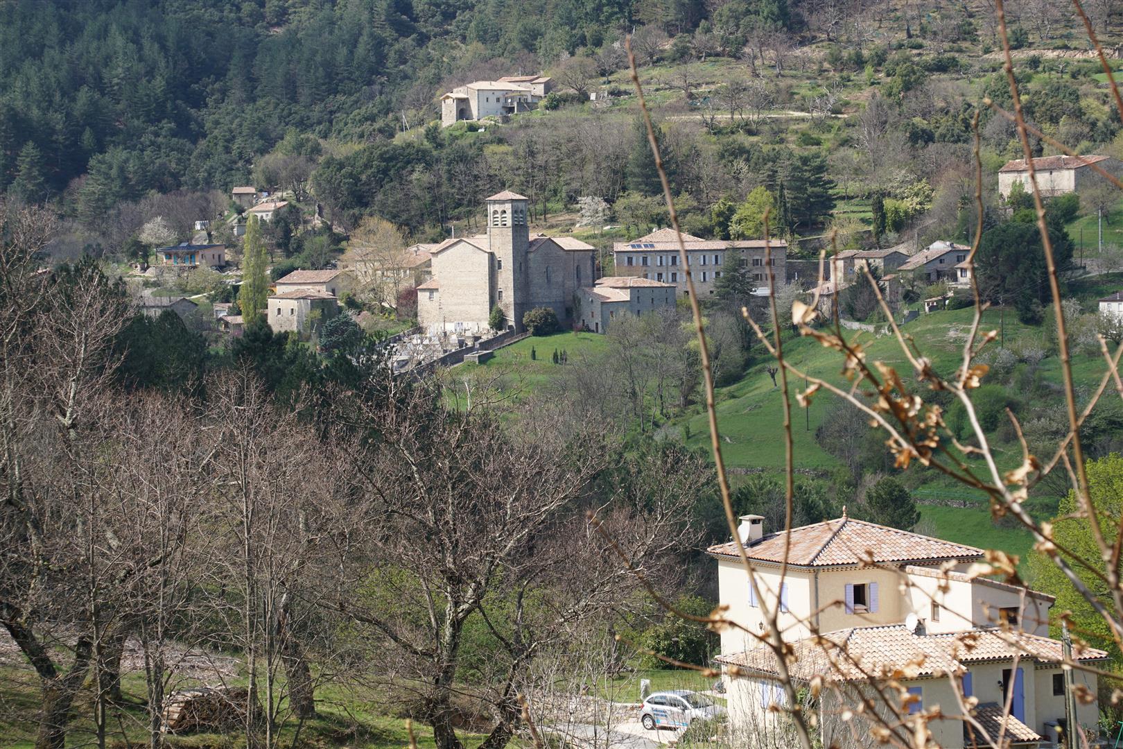
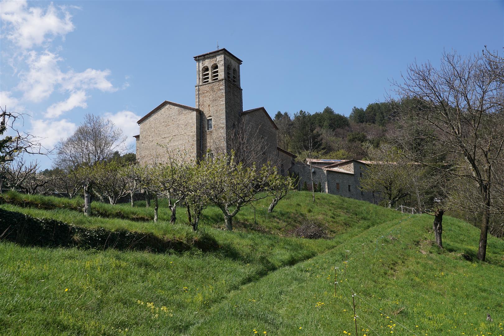
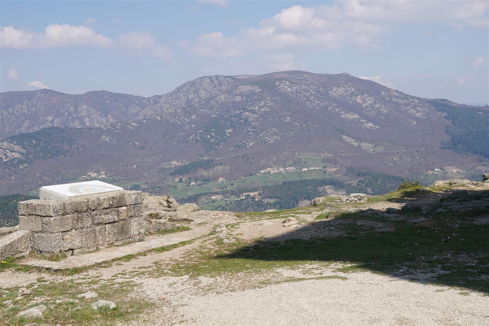
In september of 2016, our club hike took us to the upper Beaume river valley and the mountain village of Laboule. We stayed in the area 2 days to hike a couple circuits on the Tanargue. The Tanargue is both a peak and a ridge-line oriented roughly west to east in the southern Ardèche – about 2 hours from the croix-de-Gattigues. The average altitude of this ridge-line is around 1200 m, but one section, called the Cham de Cros reaches an altitude of around 1400 m. This “Cham” (cham is an old french word usually used to name a small plateau surrounded by deep ravines) is visible from a long way off. From a variety of lookouts near the croix-de-Gattigues the distinctive skyline of this plateau is easy to identify. When we reached the top of the Cham, we could see, to the south, a prominent but lower peak with a tower and a beacon. No one could identify the site that day. So we had to find out.
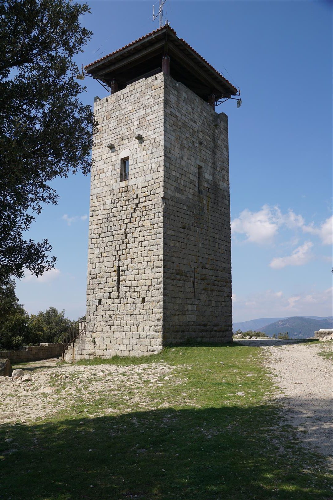
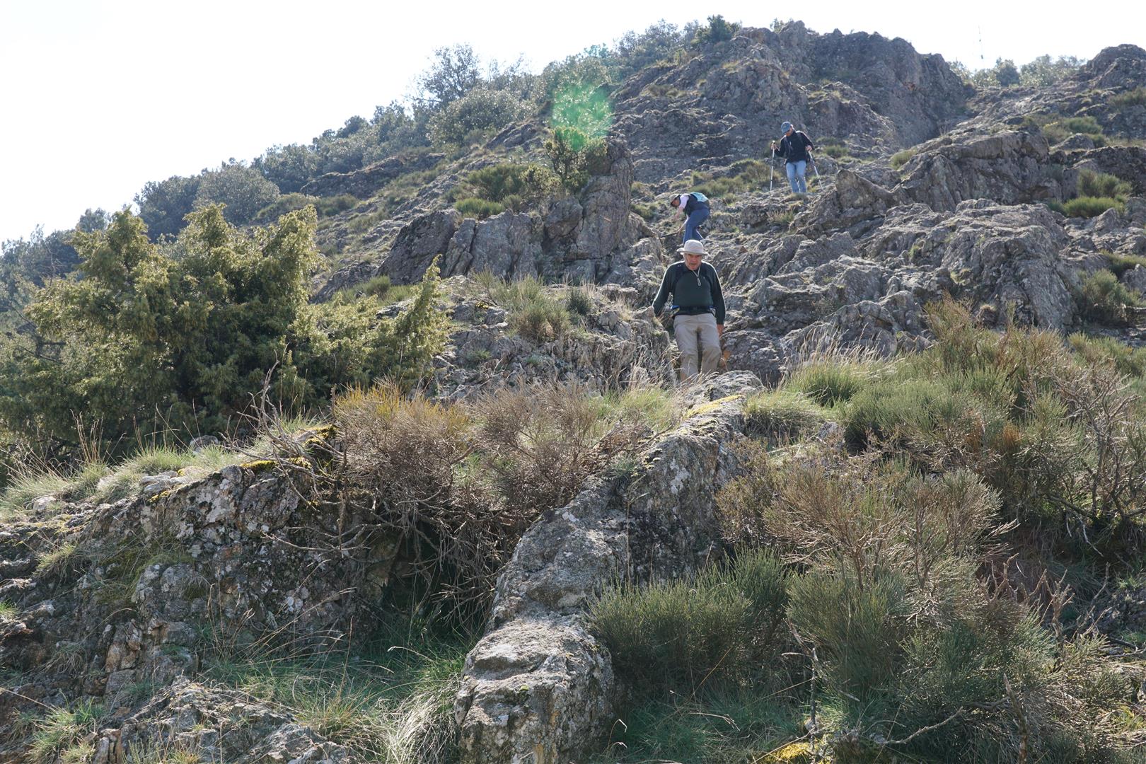
The hike to the Brison tower starts from the remote Ardèche village of Sanilhac. On the day we drove there, it was more “remote” than usual as the main access road was undergoing major roadworks. At least once, we were not certain to get past the roadworks without sliding off the road into a steep ravine. Once on foot everything got back to normal and we set out from Sanilhac to climb to the Brison tower. This tower, was once part of a major fortress commanding the whole area – the 800 m tall hilltop provides an unhindered 360° view over a 15-20 km radius. As usual the fortress was destroyed by war and weather or both and was handsomely rebuilt only in the late 20th century. The tower now serves as a fire warden’s lookout thus combining history with modern usefulness. From the tower, we could see to, but of course not beyond, the higher Cham de Cros to the north. Viewing each highpoint from the opposite one provides a good reading of the landscape and produces ideas for further exploration. While the climb to the tower from Sanilhac was steep but regular, the climb down on the north face was much tougher – over a steep and eroded path down a limestone outcrop at a 35 % slope.
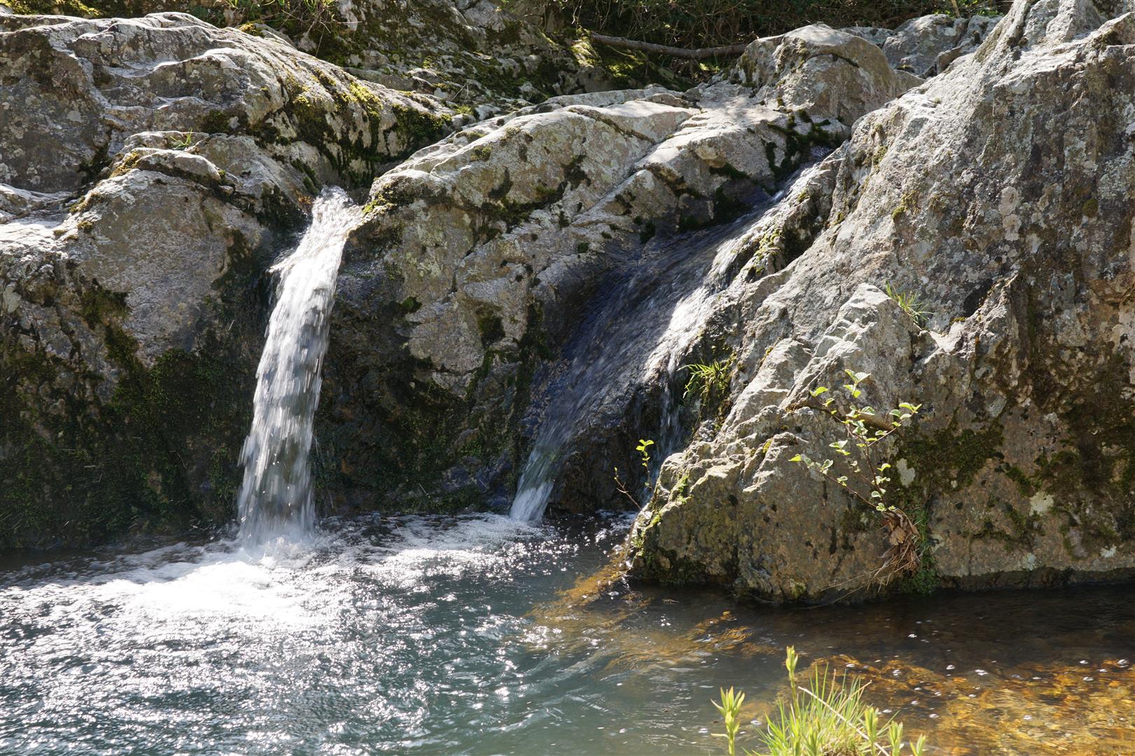
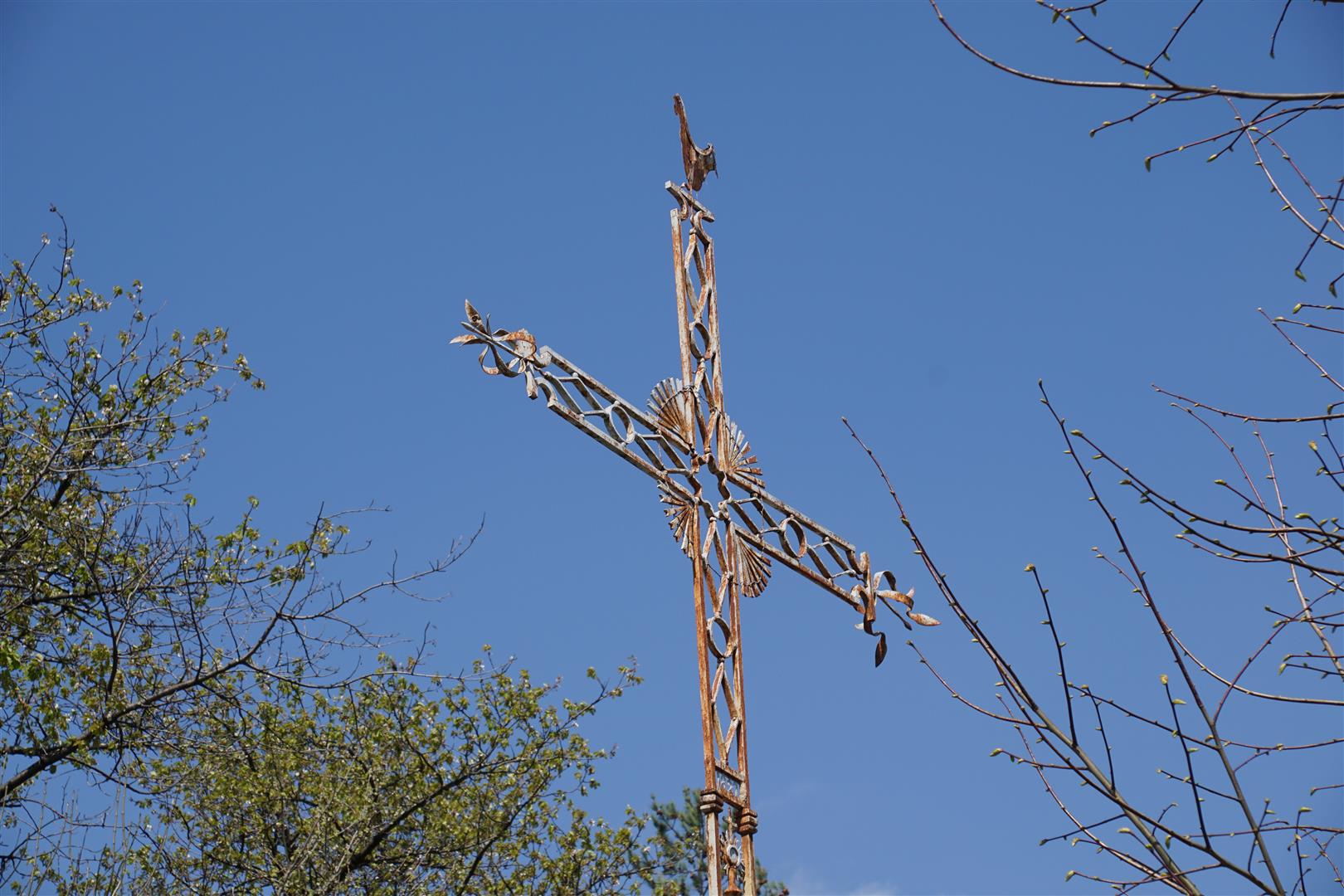
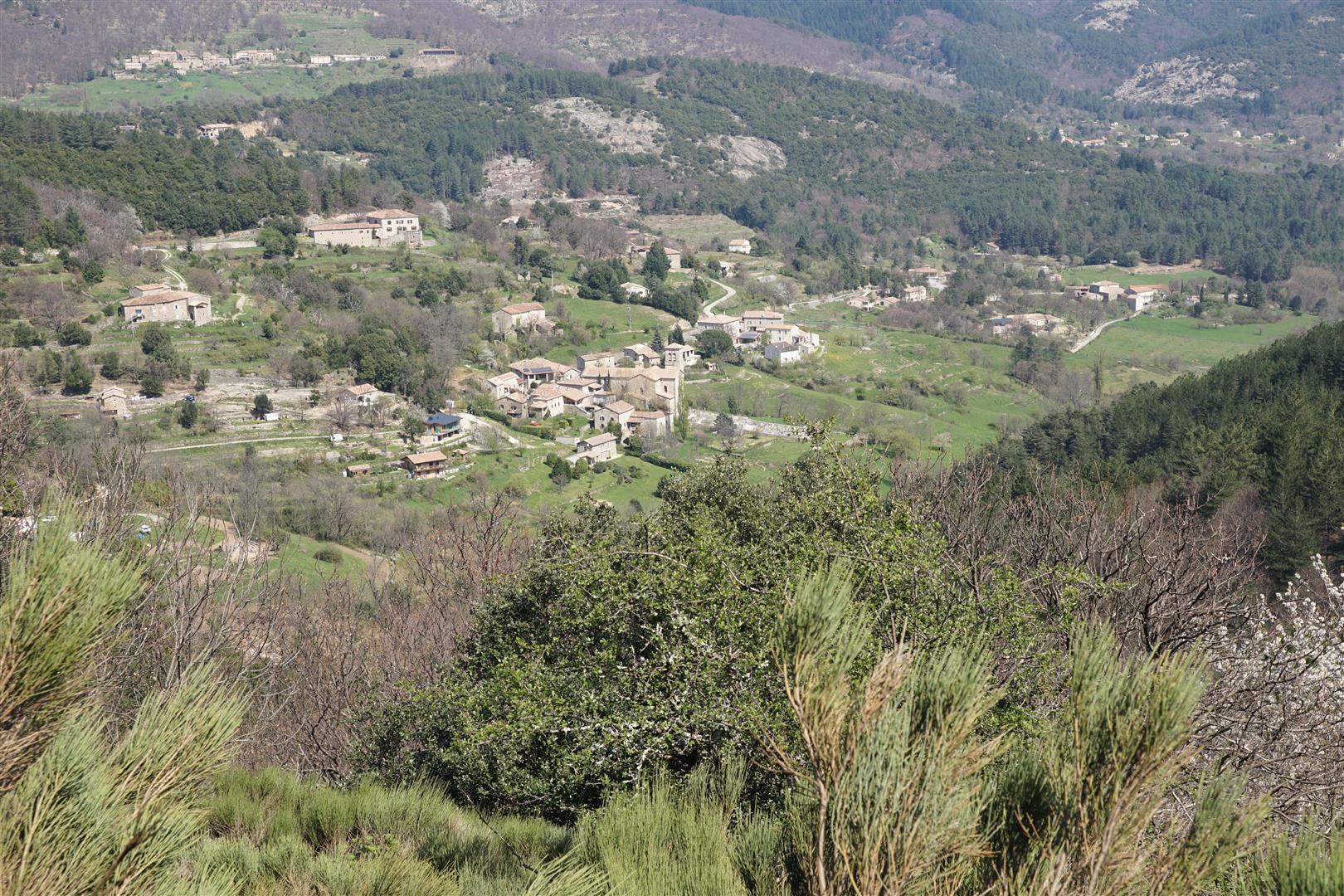

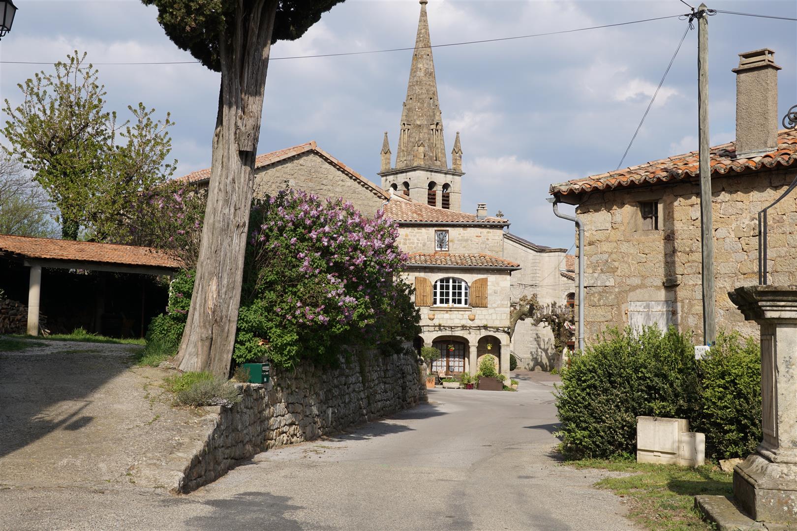
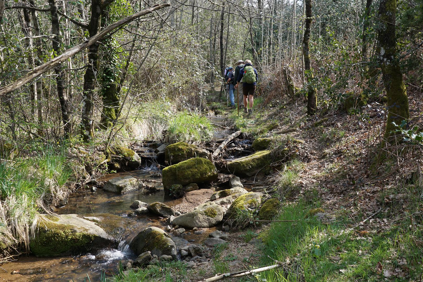
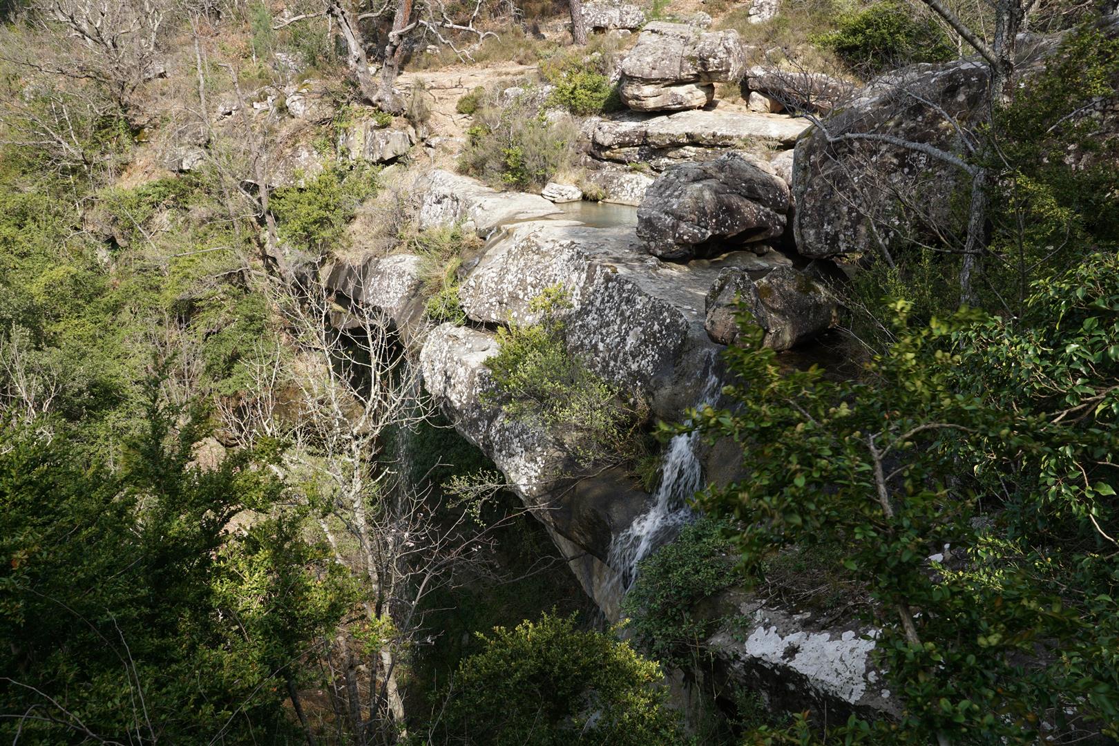
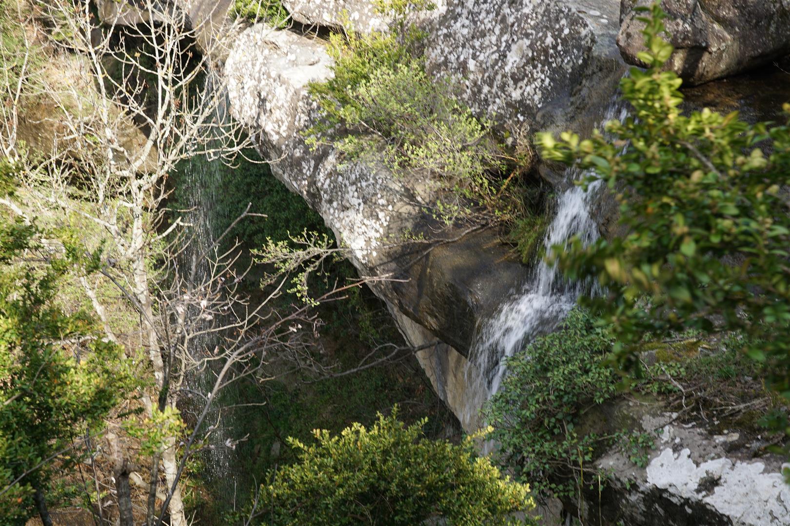
Once beyond this difficulty, the going got easier. We loop through the village of Rocles, where there is another iron cross. Then through various abandoned villages, ancient trails, forest ranger roads (called DFCI’s in France) and river valleys to a remote stone house under renovation by a courageous local. He tells us he is a hiking guide, asks about our route and recommends a change in order to loop past a remote waterfall. We follow his advice and continue, fording a steam where several hikers fall into the waist deep water. Slippery rocks can be nasty. Thankfully there is no damage so we continue to the waterfall, which is hard to find. After pushing through undergrowth and following the stream we find it. Almost no water is flowing over the ledge but the site is impressive never-the-less. The stream drops over an overhanging limestone ledge that reminds me of the waterfalls over the Niagara escarpment in south western Ontario. This is the only waterfall of this type I have ever seen in the area. We can’t get too close because our perch is on a steep wet slope above a 50 m drop.
Another 2 km and finally, we are back in Sanilhac.