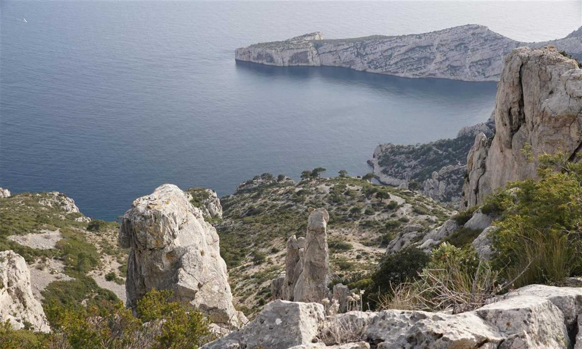
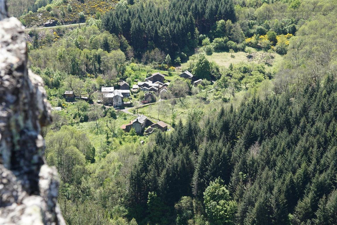
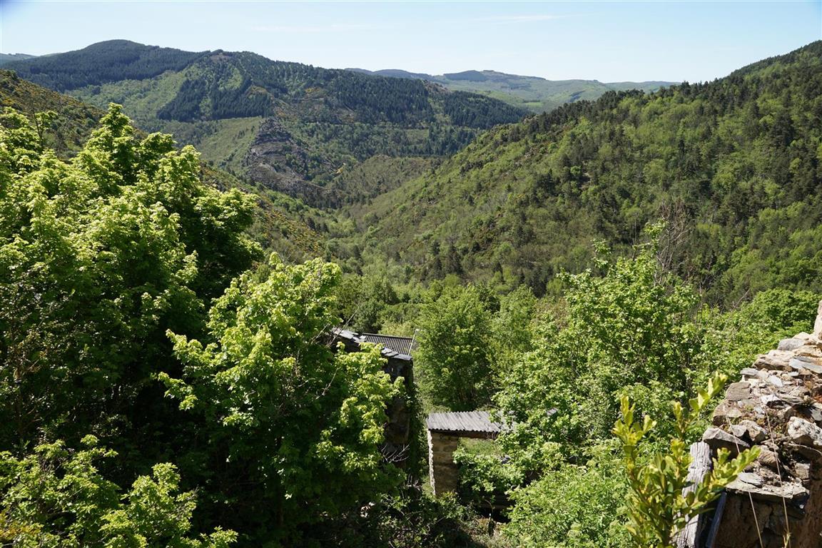
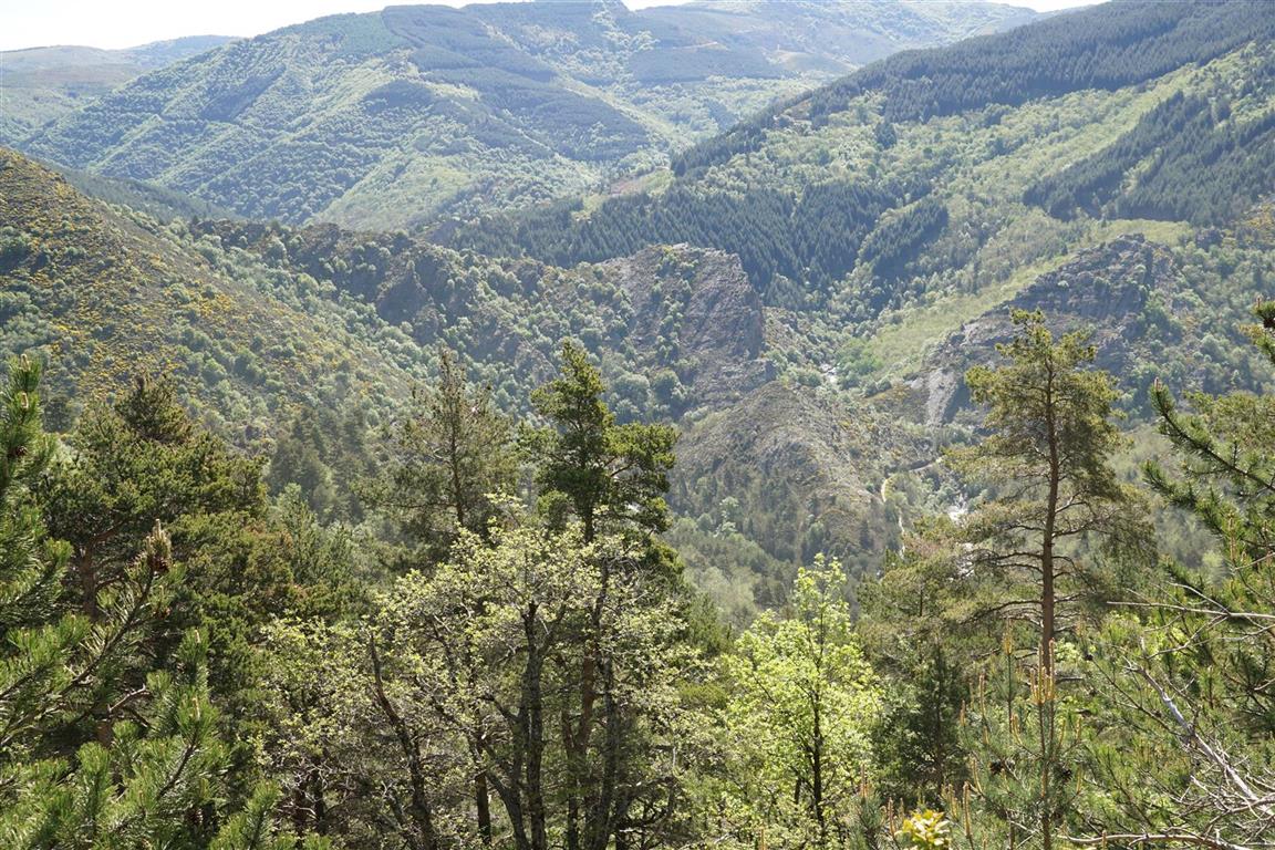
This site is about walking, mostly in south central France, specifically the Cévennes “mountain” range, the Grands Causses area with it’s plateaus and canyons, the departments of Gard with the garrigue landscapes, the Vaucluse, the Herault, sometimes the Ardèche, the Avéyron and the Drôme. There are descriptions of interesting walks, but sometimes also the non-interesting ones. There are occasional articles about the hardware and software you might use while hiking and in particular handheld GPS devices and smartphones. There are also references to cartography both in the field and on the computer screen back home. The progress in the area of web mapping in the past several years, with the arrival of services like Google Maps, Nokia Here (now “Here we go”) and the OSM Open source map service, has been spectacular.
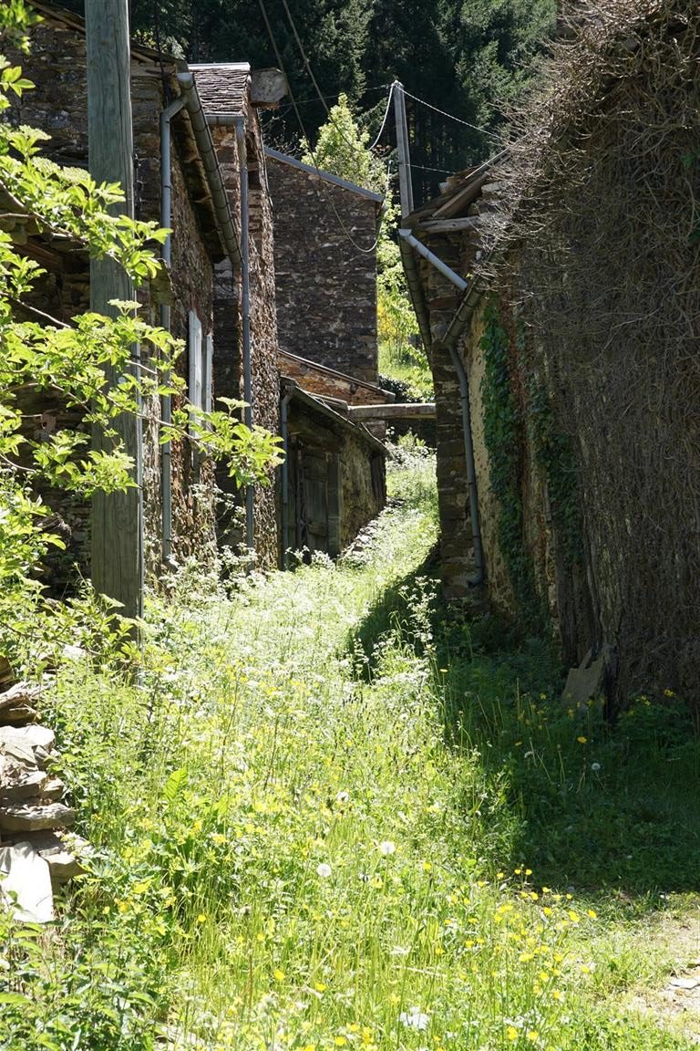
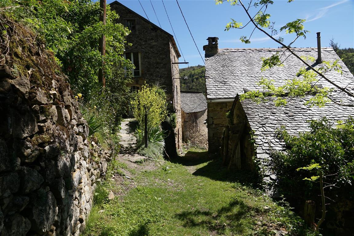
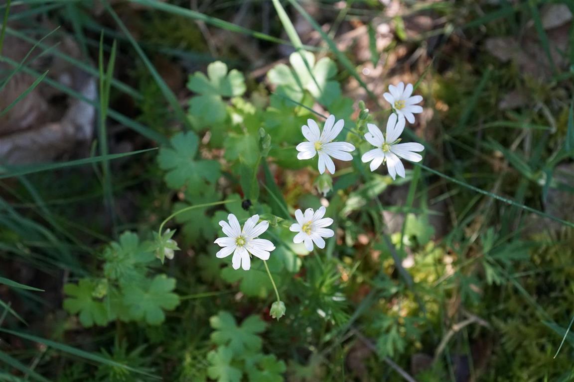
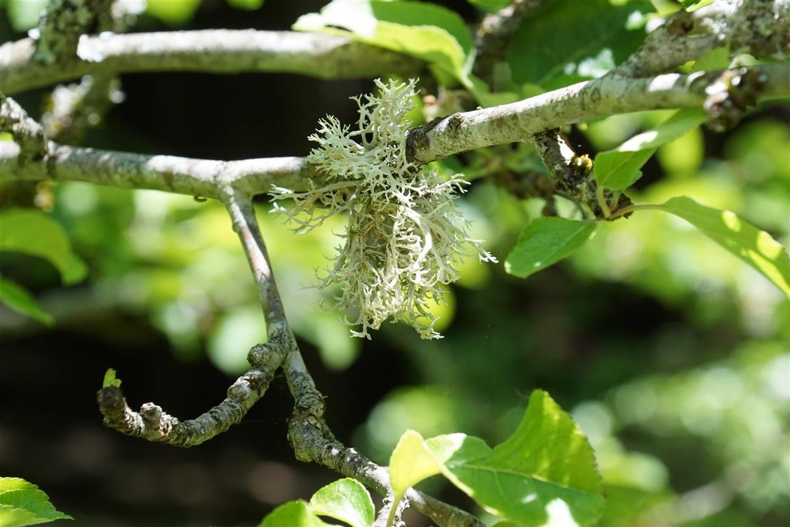
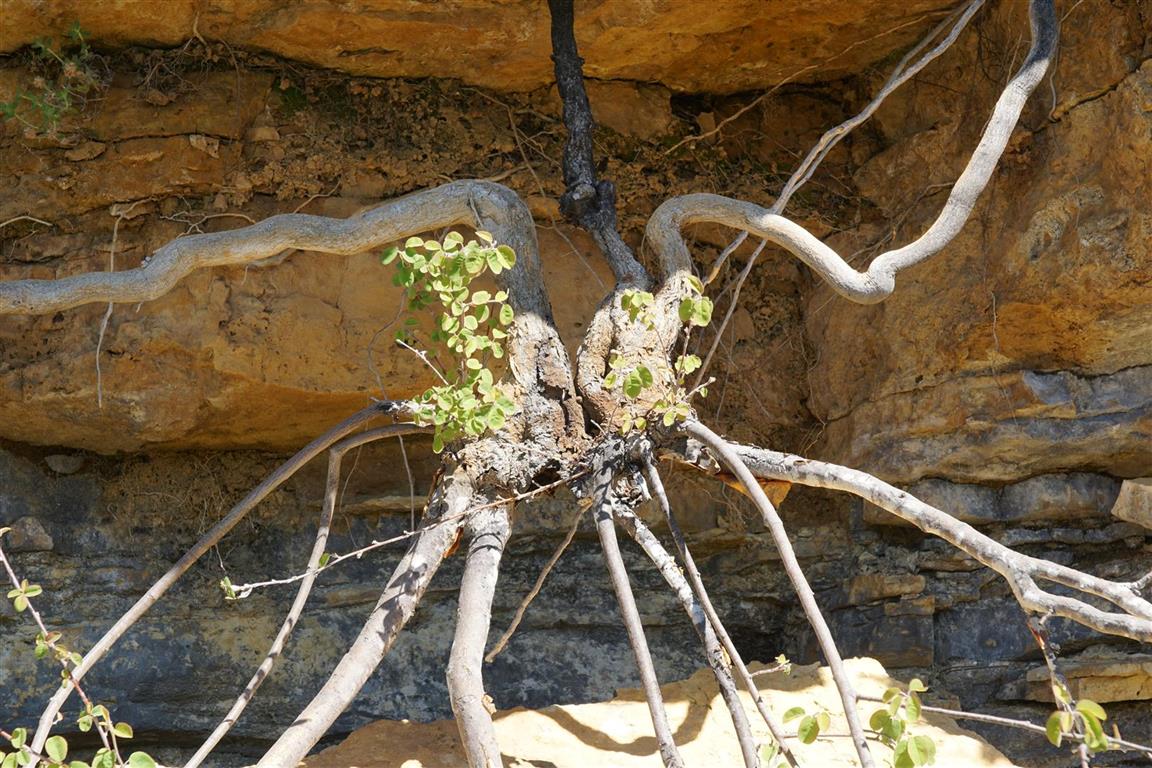
However, hiking in this region is more than just walking with eyes focused forward or concentration on the GPS screen. It’s also about observing and understanding the landscapes, villages, farms, ancient ruins and various geological curiosities. Often the subject of interest is not the “what”, but the “why”. Why did people settle here hundreds of years ago? Why did the ancient trade routes pass this spot?
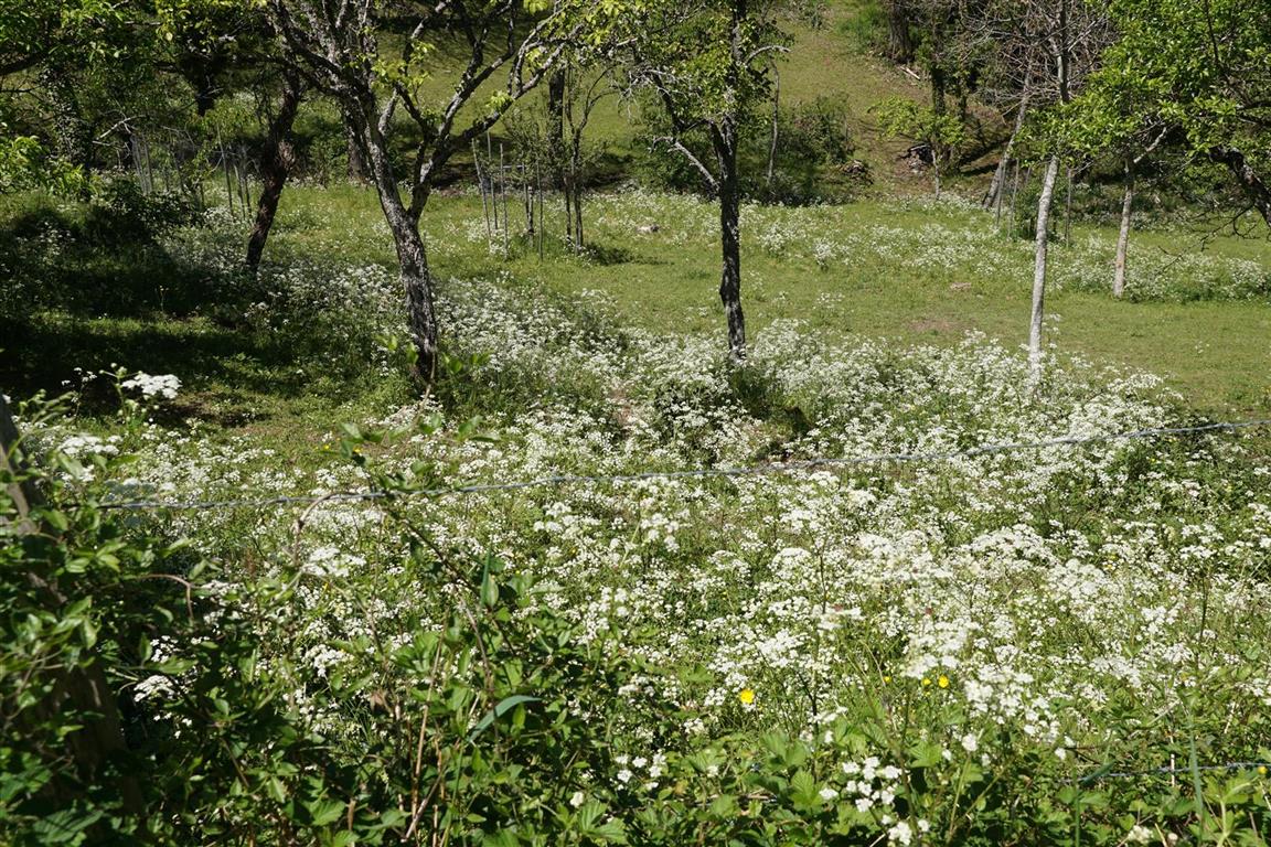
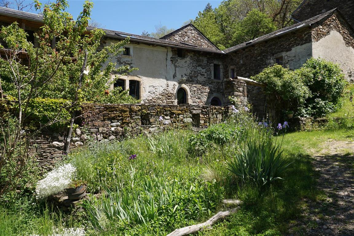
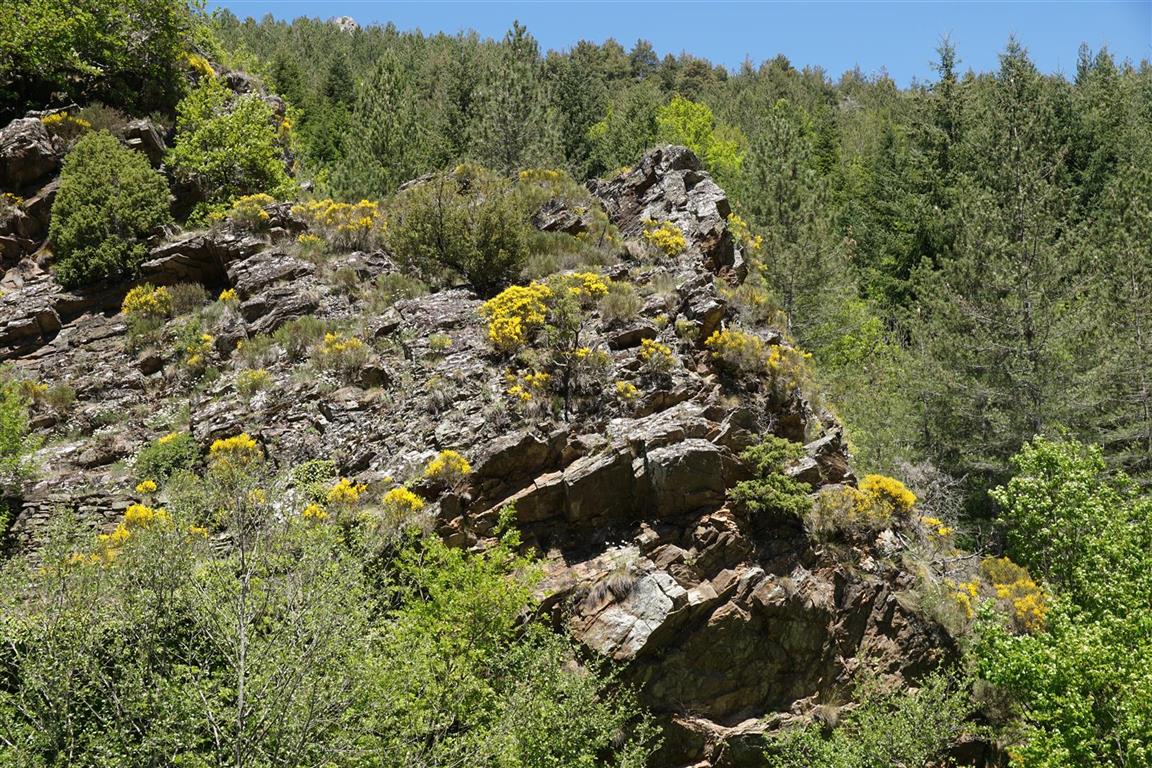
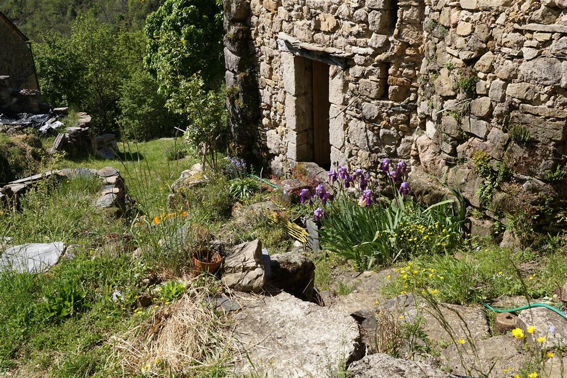
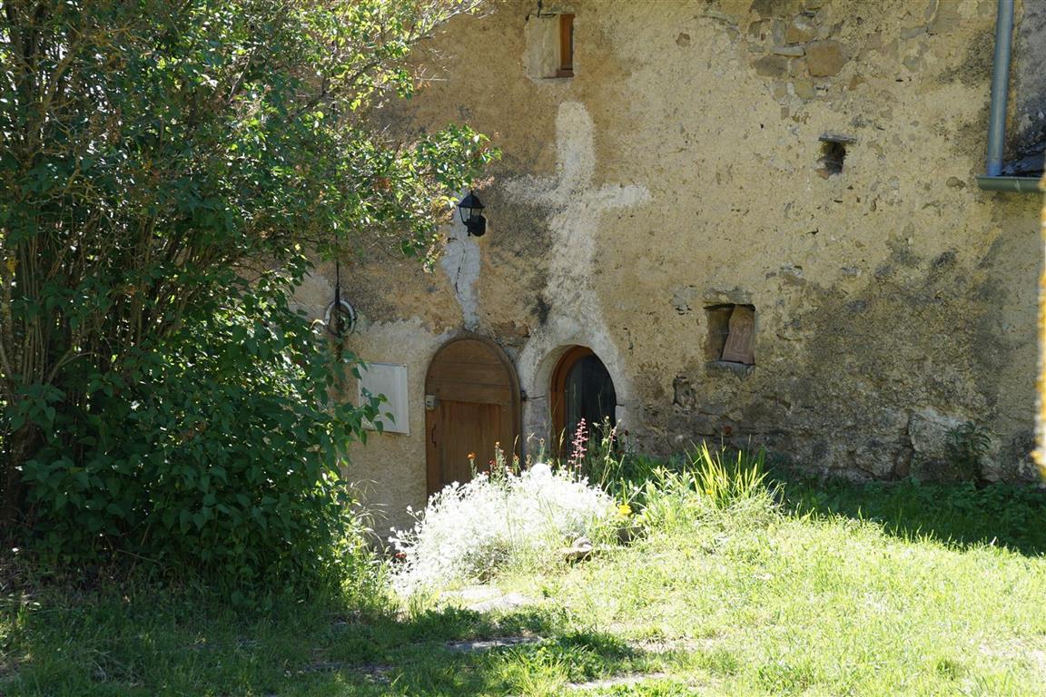
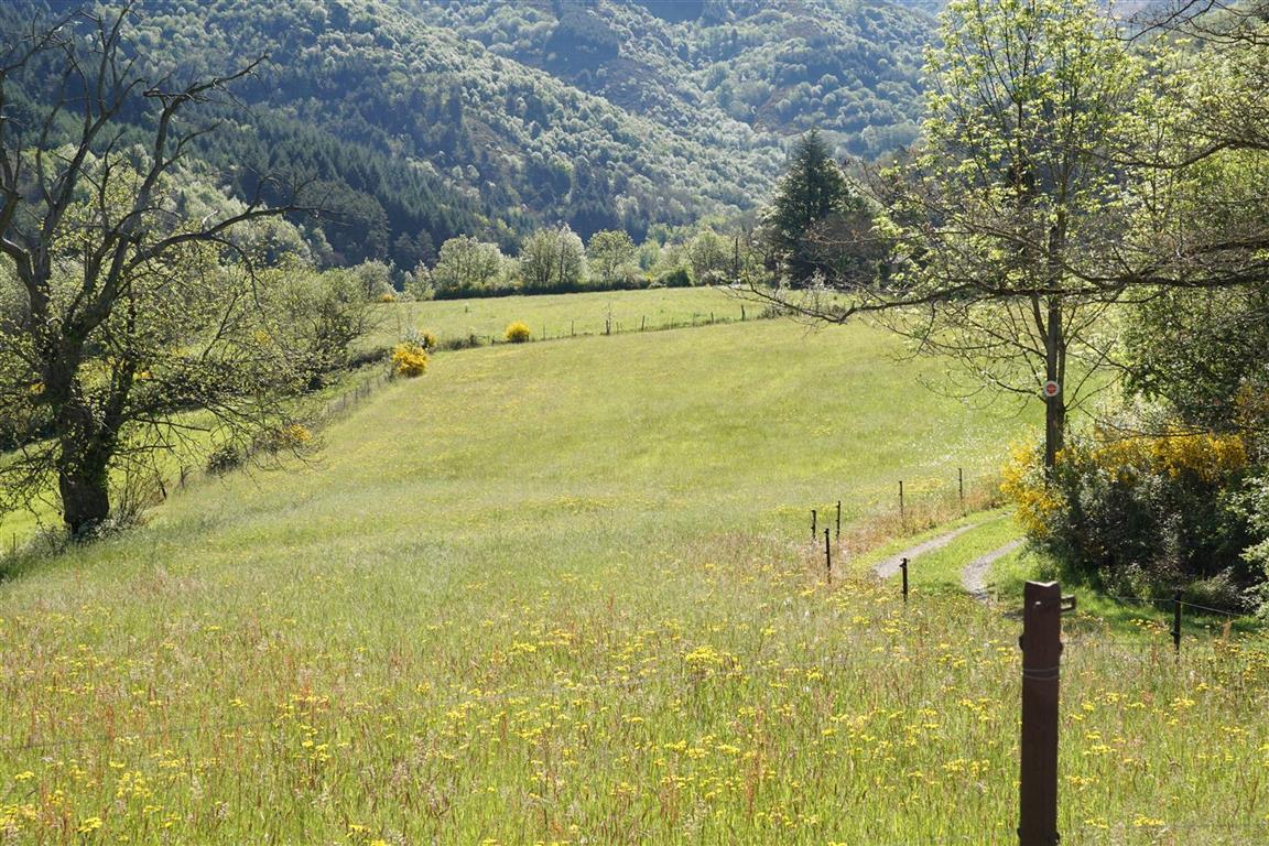
In this region, traces of human activity are everywhere – in the still occupied villages and farms, but also in the undergrowth, on the riverbanks and and on the abandoned hillsides. This site aims to explore these subjects, traveling on foot, at about 3.5 km per hour.
This site is also for people who like maps. There are maps in nearly every article, often with interactive features. Try them out.
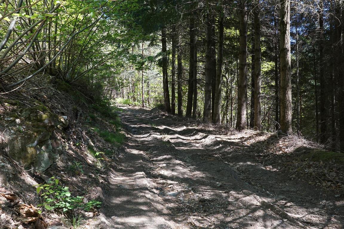
For every walk mentioned in an article, the site provides a downloadable gpx file suitable for use on a handheld gps device. The site provides additional access to a database of some 700 circuits also complete with downloadable gpx. It is worth noting however, that a gpx track is a perishable commodity. Over time waymakings change, land owners block walking routes, obstacles appear. For this reason, when available, dates of the most recent passage on the circuits are also provided. Use with care.
Everywhere you go on these hiking routes you are likely to see a field cross. They can be in iron, stone, or wood and can be simple or ornate. These field crosses are supposed to have protected travellers from bandits – as supposedly no bandit would dare attack near a symbol of the all powerful religion.
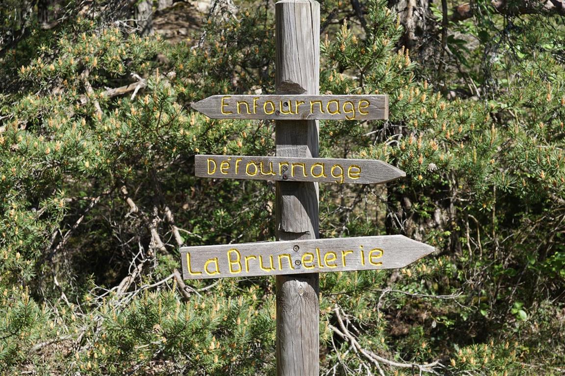
So the french word “croix” translates to cross and holds the connotation of the cross as a religious symbol. However, in the context of this site, cross means crossroad or intersection. “La Croix de Gattigues” refers to a crossroad in a hamlet in the Gard department at which, no surprise, there is also a fine an iron cross.