This hiking trail starts from a spot in Saint-Sebastien d’Aigrefeuille about 9 km from Alès in the lower Cévennes. The starting location is not in the centre of the village, but on a side road near the Amous river at the bottom edge of the Carnoulès lead mine. We start with a pretty stroll upstream along the Amous river, which is flowing with clean water in February. The Amous river, downstream from the starting point flows through the famous Anduze Bamboo park (La Bambouseraie) in Générargues. The Amous then spills into the Gardon river about 2 km from Anduze. We’ll see later why this is of interest…
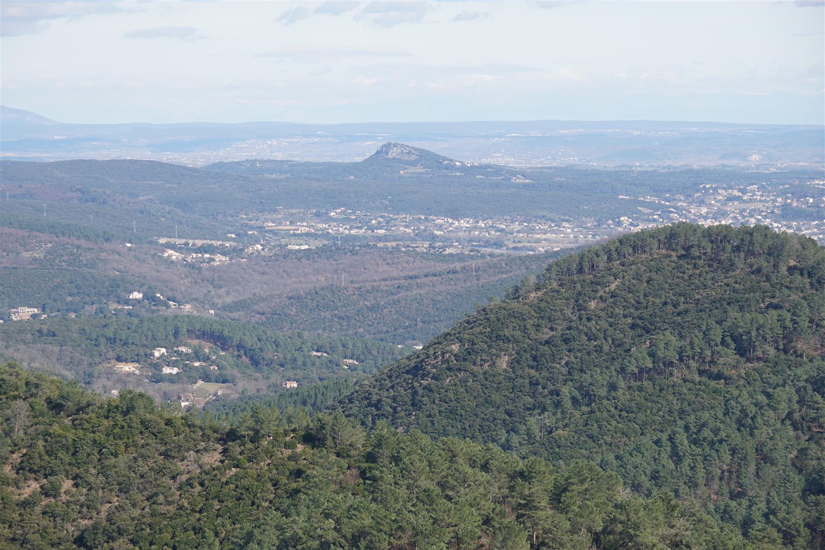
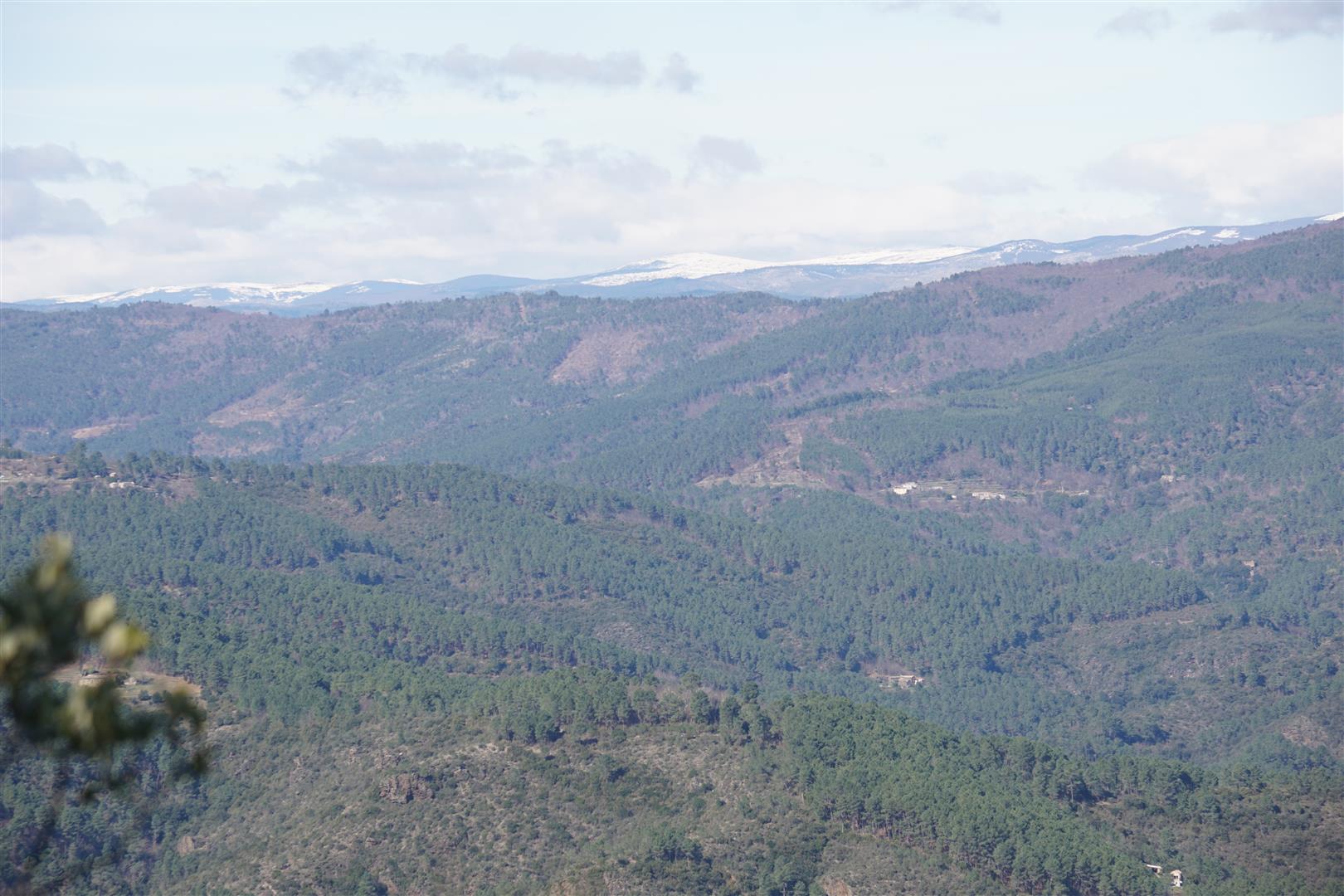
The trail continues along the river for a while before rising up to pass through a couple typical Cévennes mountain hamlets. After leaving the hamlets behind the trail moves steadily uphill to the Moncalm ridge. This ridge starts near Alès and extends more or less continuously northeast for around 30 km towards the central Cévennes region. If you turn left upon reaching the ridge line you can walk the ridge trail all the way to the Jalcrest pass (on the main highway from Alès to Florac). On the way you would look down on the landscapes of the Galeizon valley, the Mialet Gardon and the Vallée Française. But we turn right at this point to walk southeast along the ridge towards Alès. After enjoying good views of Mount Aigoual on the way up, this ridge path opens up spectacular views of Mount Lozère to the north. No difficulty here except for a spot where you have to scramble down a rocky path with steep drop offs to the left. All the empty space to the left in this section makes it hard for anyone afraid of heights.
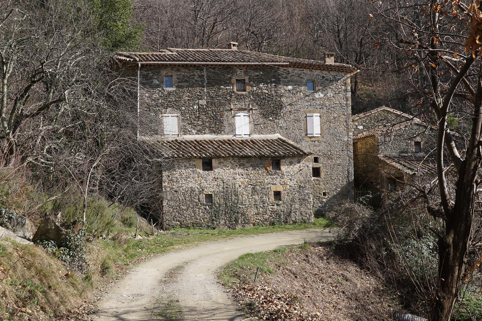
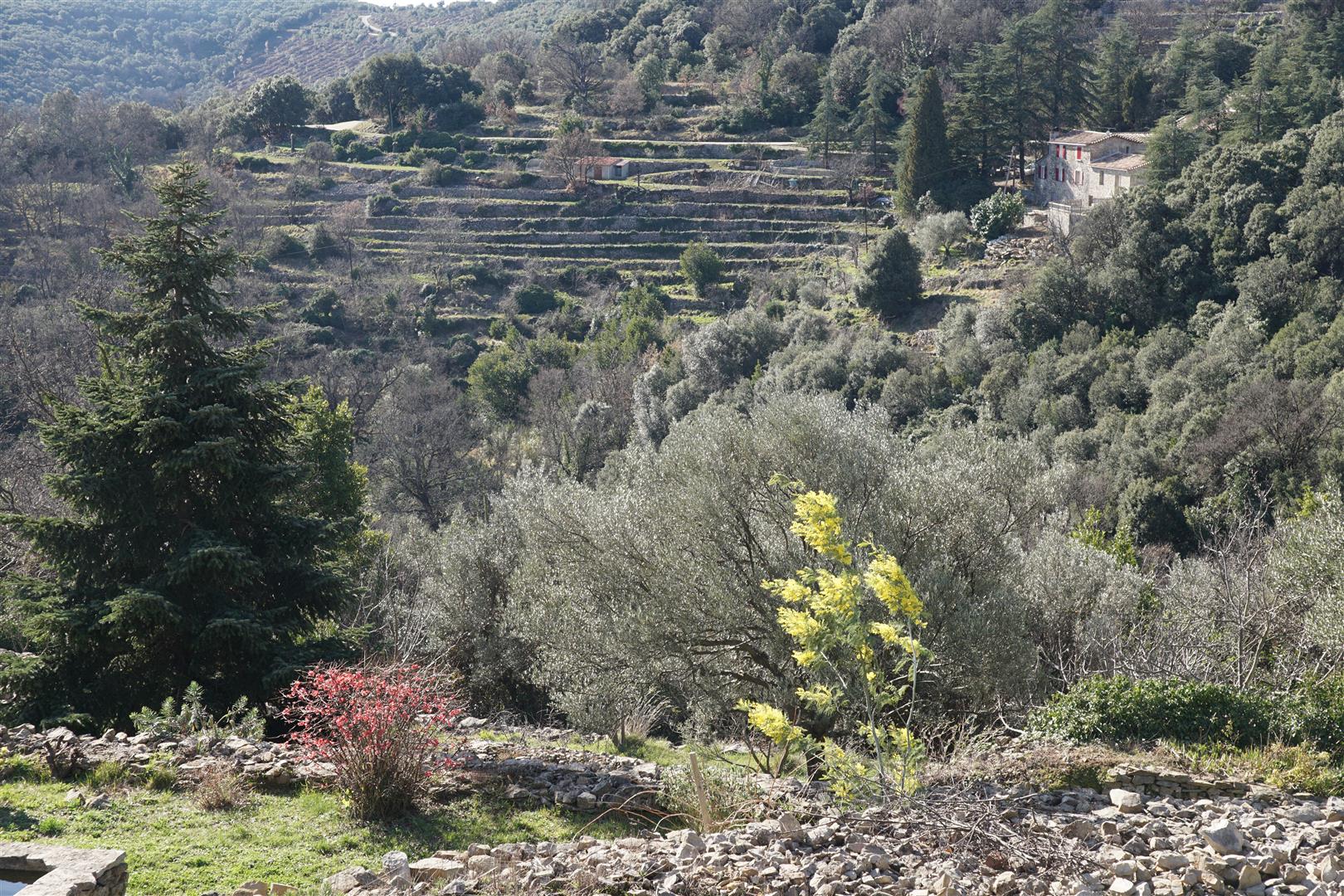
Eventually we leave the ridge line and loop to the right along fire warden and local access routes down to the pretty hilltop village of Carnoulès.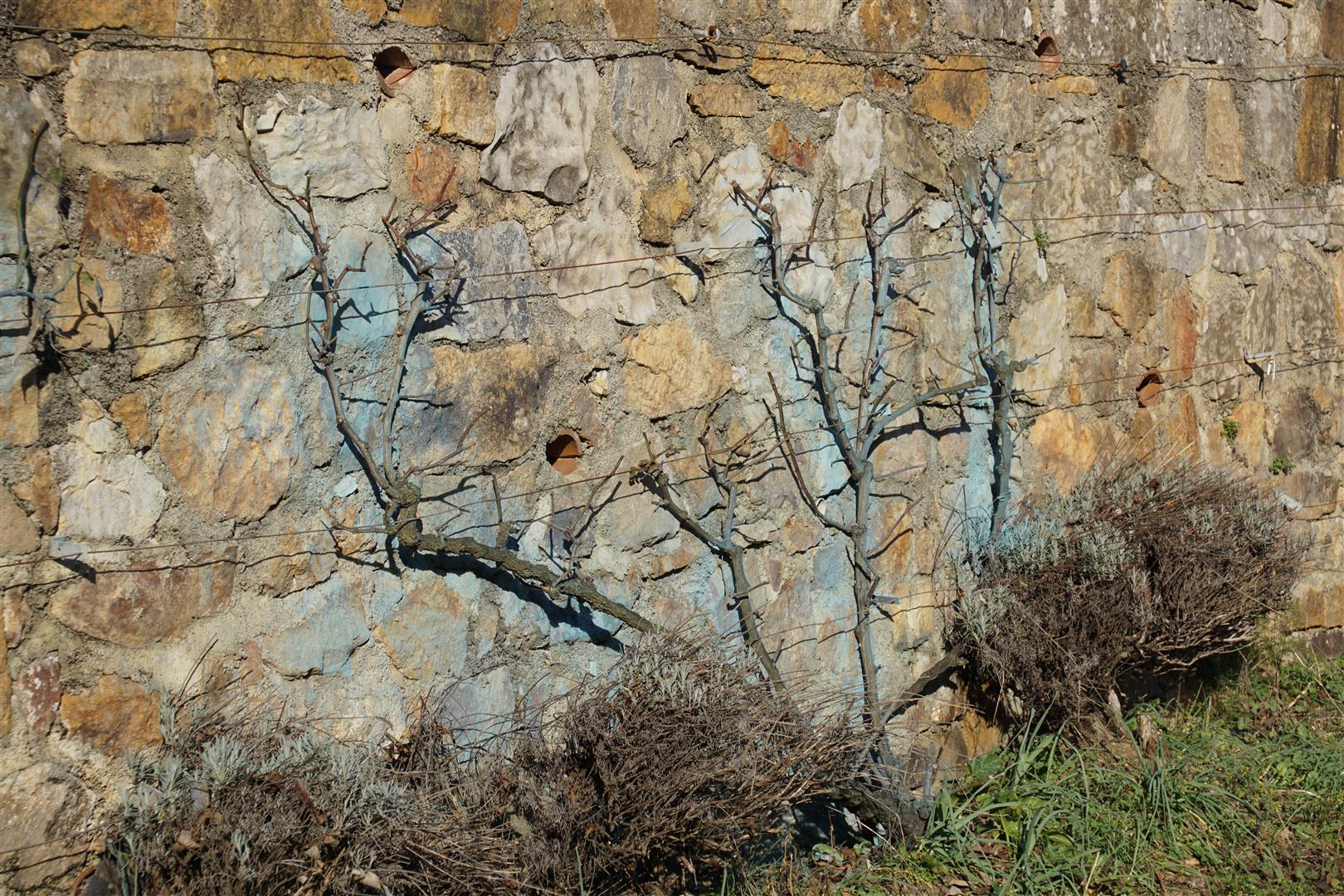


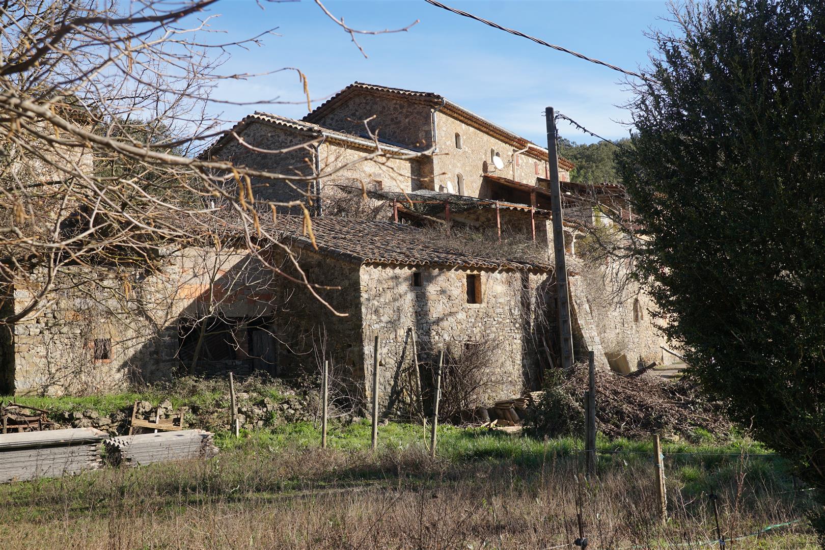
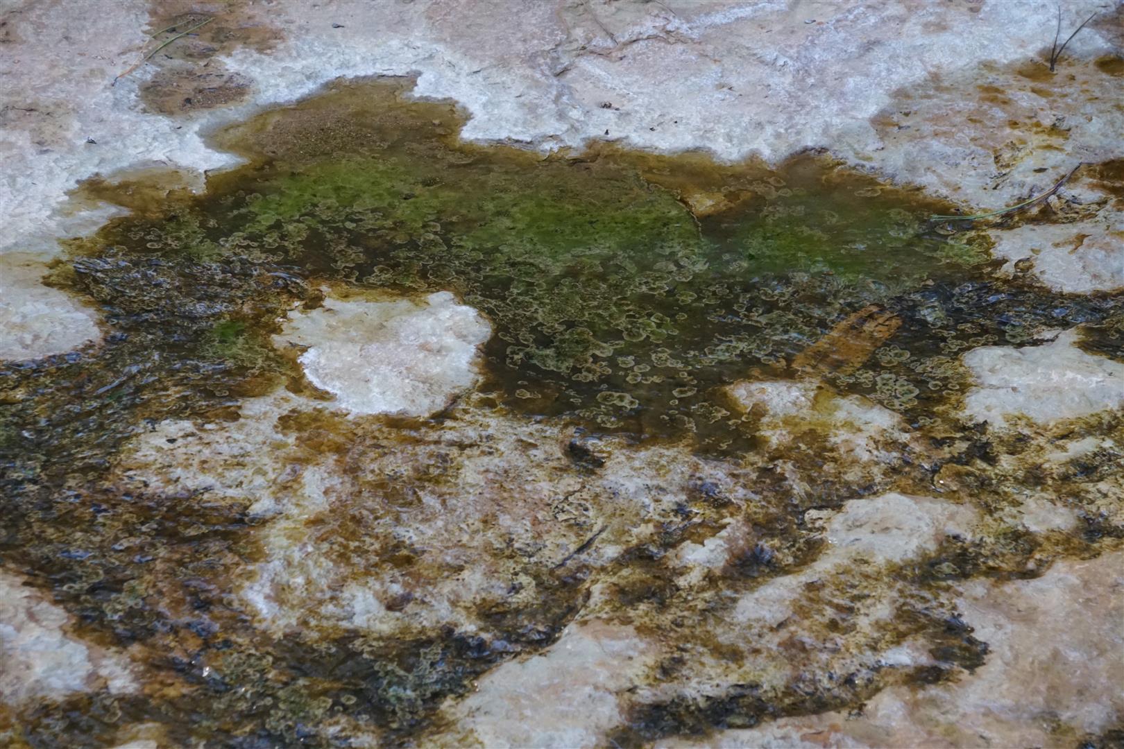
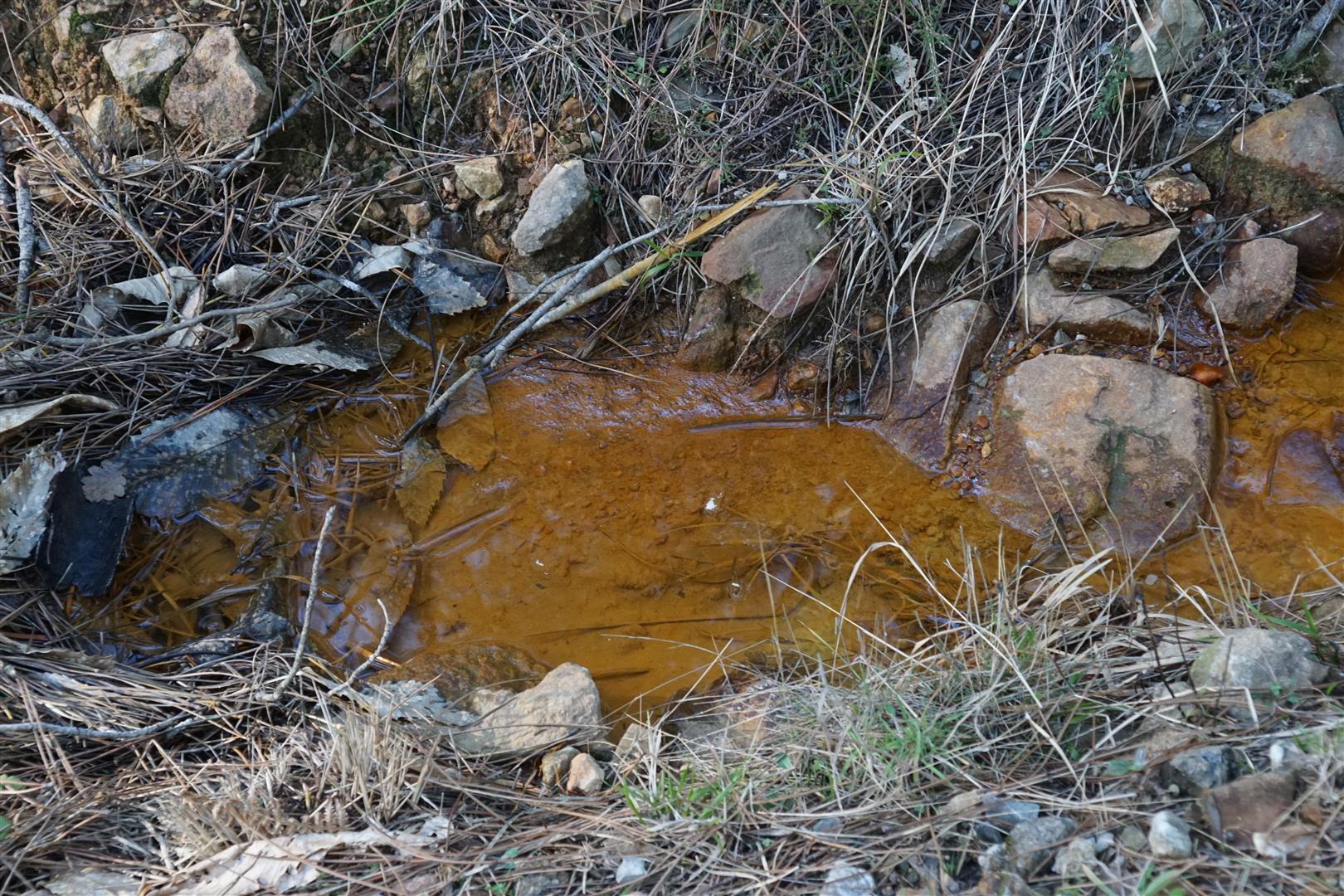
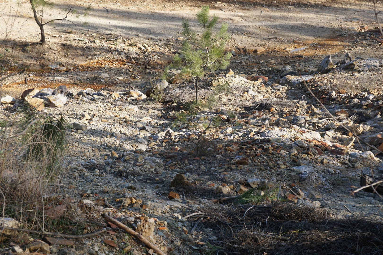
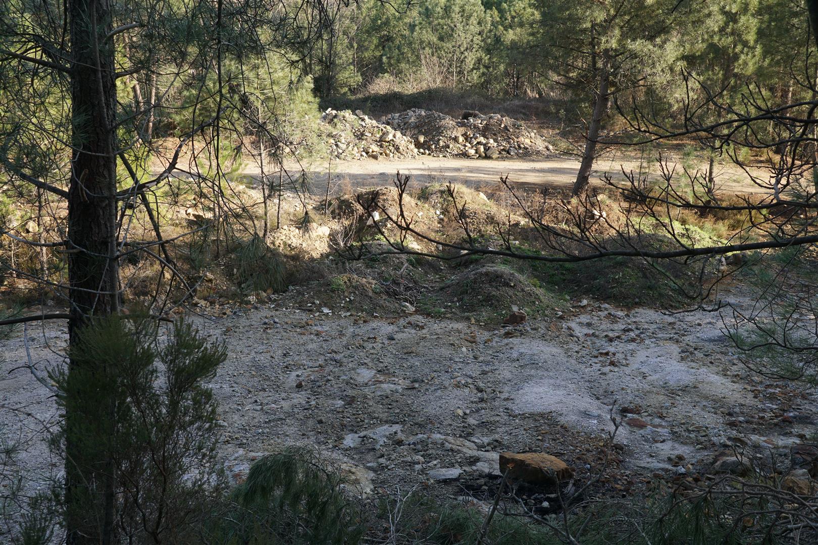
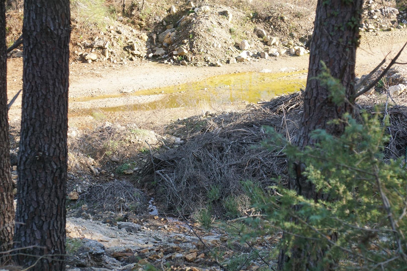
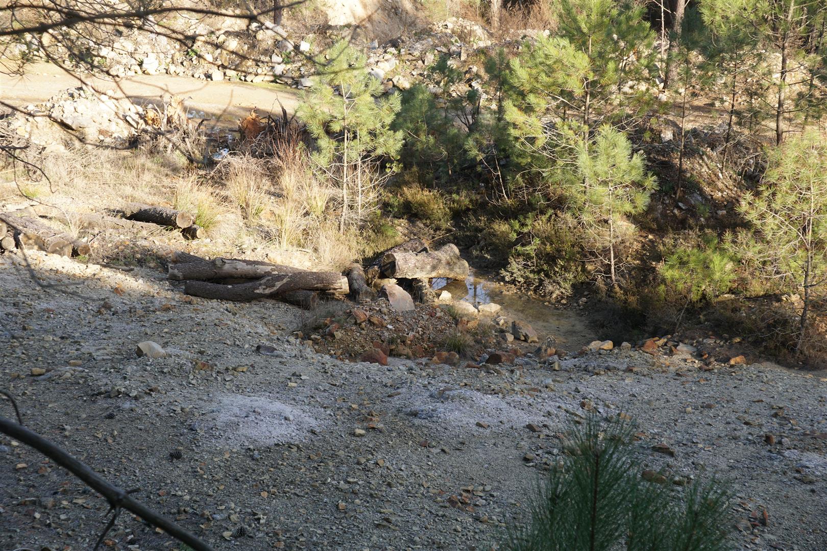
After Carnoulès things become rather more sombre. The landscape is bare, with much evidence of excavation and earth moving, little undergrowth and many tall pines. This is an abandoned lead mine, operated in the last quarter of the 17th century and then again from the 1830s through the ups and downs of wartime, price slumps and ownership changes until about 1963. Here there are remains of both open pit and underground shaft mining. Anyone who has read about lead and silver mines knows that tailings contain arsenic and several heavy metals (zinc, cadmium etc), not to mention lead. Here the tailings were stored in drainage bassins in the Reigous valley behind earthen dams. At one point, this was even the biggest lead mine in France. Inevitably after the miners are gone and forgotten, the famous autumn Cévennes rainstorms took over. For example, in 1976 after substantial rains, the dams overflowed and about 300 000 t of toxic mud flowed down the Reigous valley towards its junction with the Amous river. The result is that about 4 km of the Reigous valley is polluted and the Amous river, from the Reigous inflow point is also heavily polluted. Nobody beyond the confines of this valley seems to care if the local residents are poisoned, or if properties have no resale value. A much noted French investigative television report signaled these problems finally in 2016 and even then it seems like they were a surprise to some. Various monitoring actions and studies of toxicity are in place but I could not see any evidence of a clean-up in progress.
As an aside, it is well known that pines thrive in acid soils, and it is also well documented that the soils around this mine are extremely acid. Maybe nature is adapting to this desolate area with unsuspected resourcefulness.
In February 2014, on the first pass around this circuit, I noted the strange landscape, but didn’t take any pictures. In February 2017, I returned with our club to walk the loop again. This time I took a few pictures below. The links at the bottom provide more data about the mine.


This hike is documented in the topoguide “Les Cévennes” published in 2005 by Chamina (see circuit no 2 on page 43).
Links :
- note in the French government database on polluted soils (update : June 2022, this site seems to be offline intermittently)
- Orema – observatory, pollution monitoring (this site is still online, but the text I found in 2017 has moved or disappeared)
- photos
- note from the Parisien – a french daily newspaper