Here are 4 trails that explore the landscapes around the village of Aigaliers (located in the Uzège region of the Gard department).
As a guide to the points of interest, there are various pin markers on the accompanying maps. Here is a short outline.
Glass works : In the 17th, 18th and 19th century, the right to manufacture everyday glassware objects was reserved for the local signorial family. In Aigaliers this was probably the D’Aigaliers family. Sand and evergreen oak, which on conversion to charcoal burns very hot, were locally available, so rudimentary glassworks were commonly set up in evergreen oak forests. In Aigaliers, the glass works is located south of Le Chabian. The ruins are not hard to find, and several parts are still standing. The author is not sure when glassmaking ceased, but the Aigaliers glass was somewhat known around the region. There are references to Aigaliers glass in historical sites as far away as Claret in the Herault department.
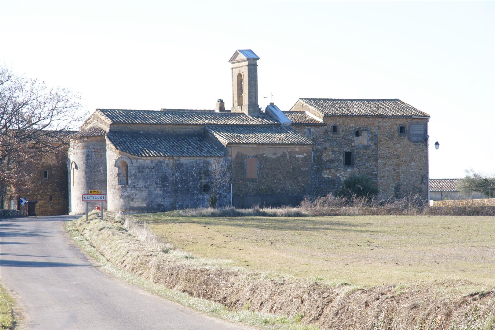
Notre Dame de Gattigues : This small church dates from the XIIth century and is part of a network of churches related to the abbey in the town of La Chaise Dieu, and located on or near the antique Regordane highway.
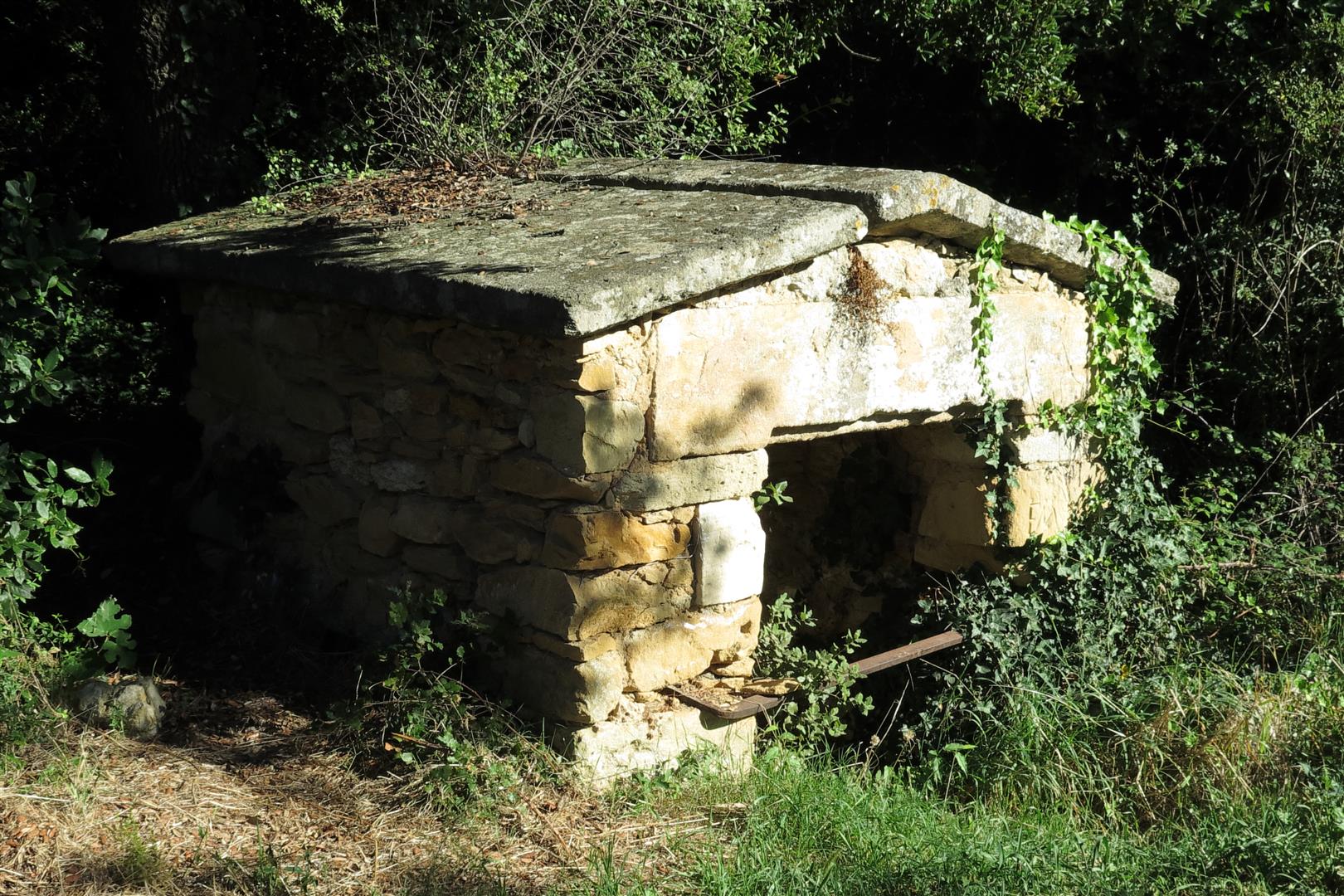
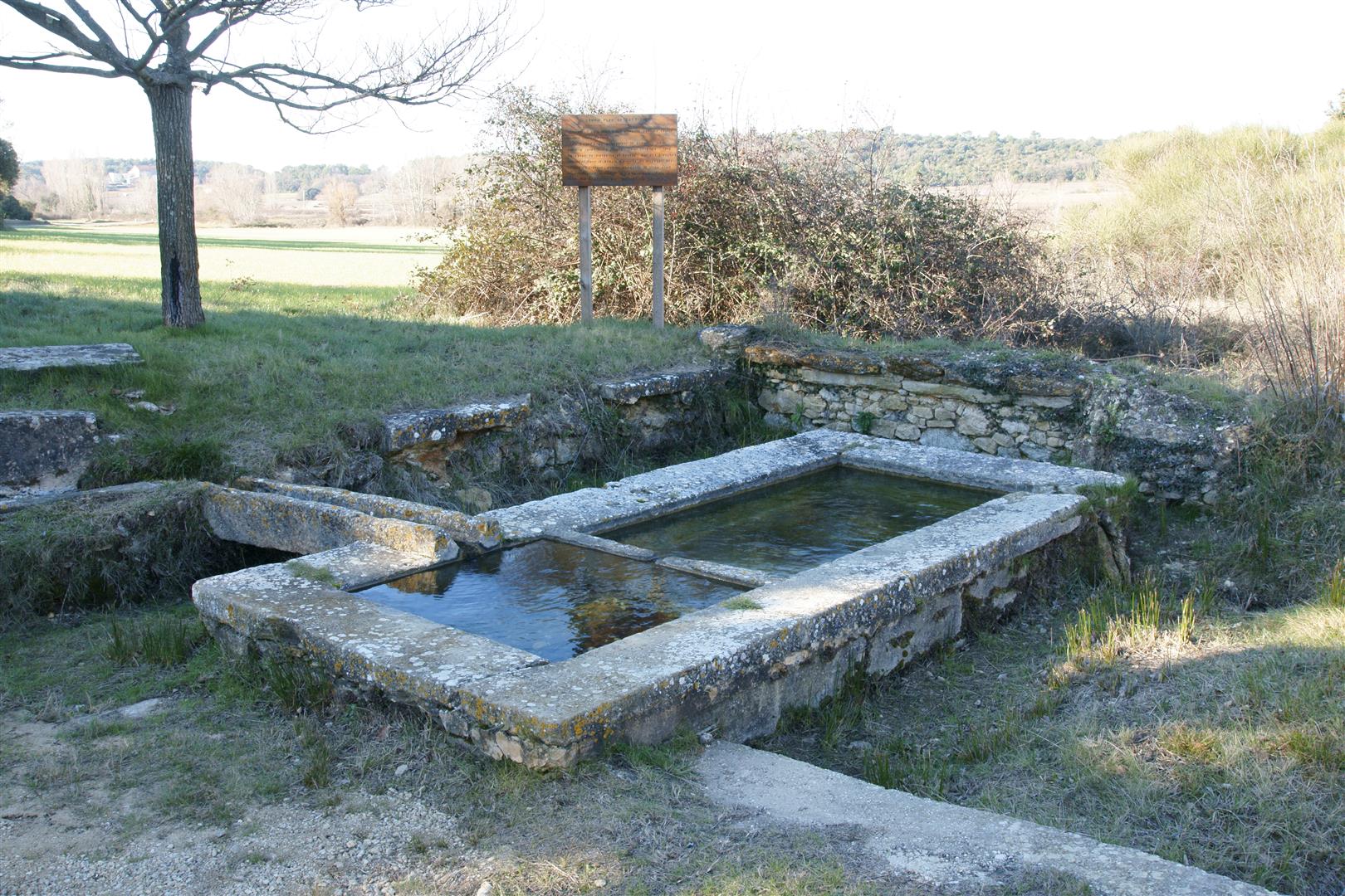
Wash houses : There are 7 disused wash houses around Aigaliers, several of which have been renovated recently. Some have a roof and others are open air. The large number of wash houses is a consequence of the fact that Aigaliers is composed of a number of hamlets distant up to 4 km from each other. The Gattigues and Mas Robert wash houses are visible along these walks.
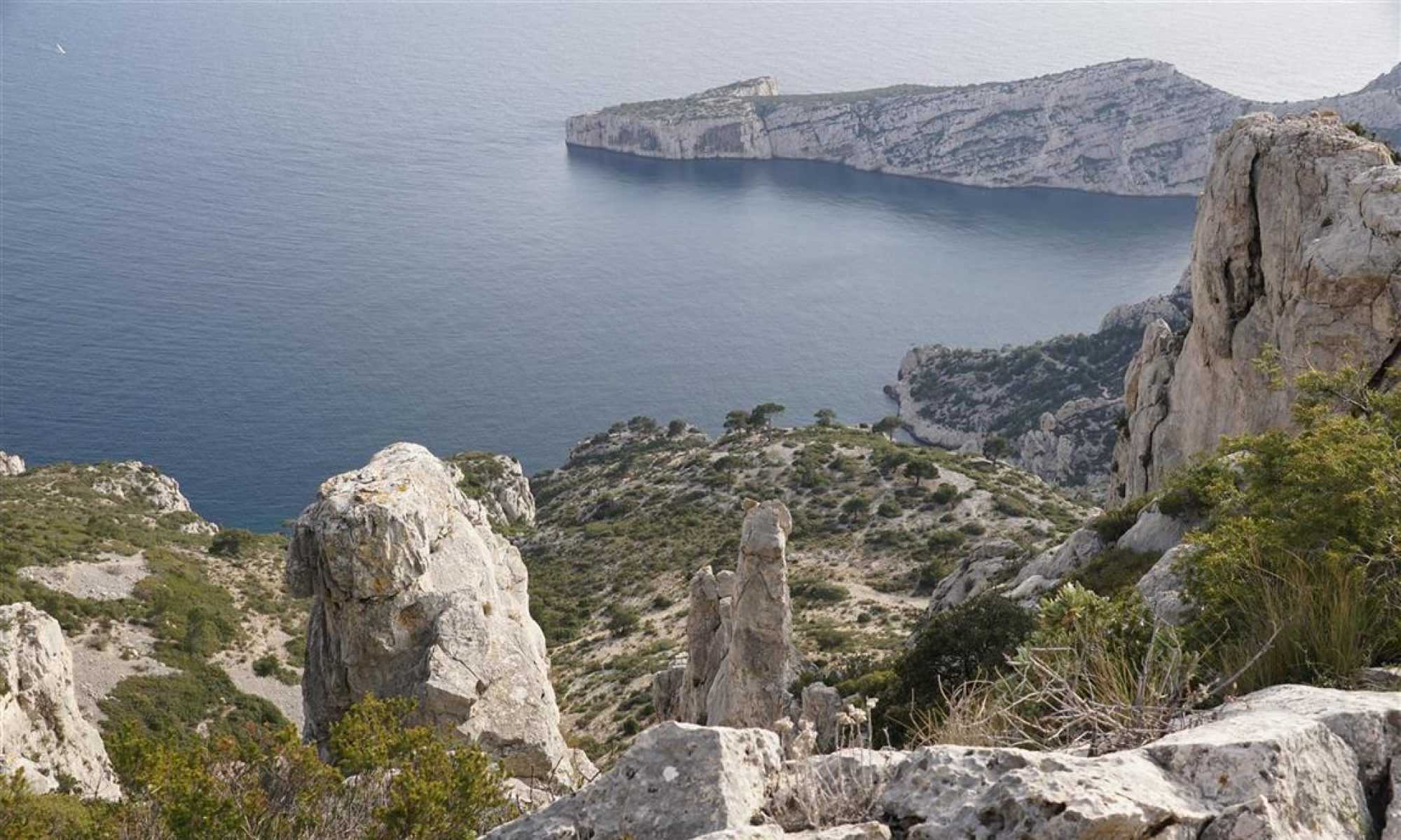
“La Dame” hill fort : Almost every hilltop in the garrigues area is occupied by a chapel, a fortress or a prehistoric hill fort. The Oppidum of “La Dame” is thought to have been used in pre-historic, and gallo roman times and perhaps later as a refuge in times of war. The fort is on a large flat hilltop, now largely overgrown by scrub oak, but still possible to find without too much trouble. As far as the author knows, this hill fort has never been examined scientifically.
Bruyes manor house : The manor house is the birthplace of Admiral de Bruyes, a naval captain serving under Napoleon in the late 18th century. In this case, he is famous (or perhaps infamous) for having lost the naval battle of Aboukir in Egyptian coastal waters, which resulted in stranding Napoleon and his army in Egypt for a couple years around 1798.
Photocell park : A large modern photocell park is in operation on the La Chau plateau north of Marignac, The trails now must skirt around the perimeter fence.
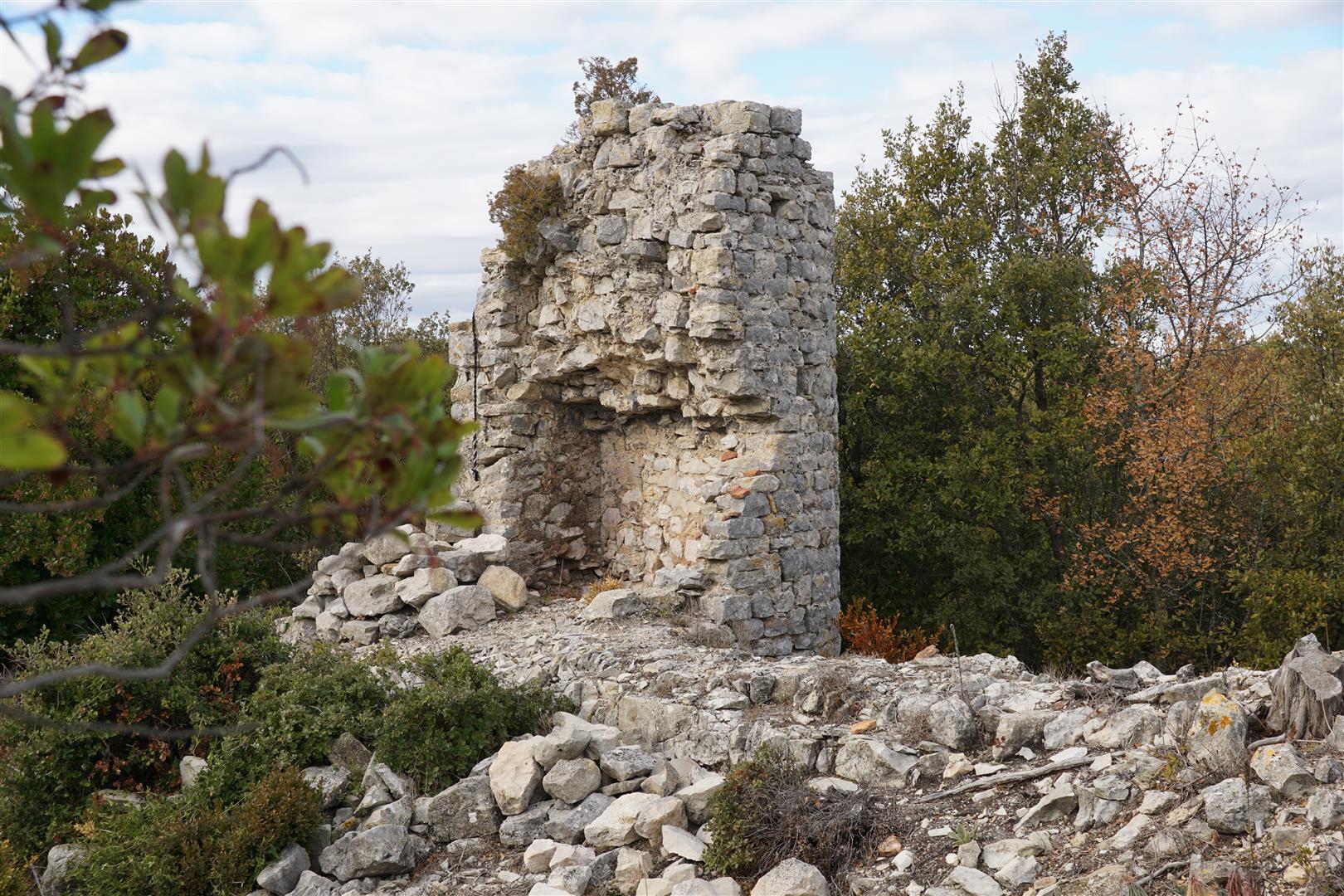
Windmill : a ruined windmill stands on a high spot near la Bruyerette surrounded by evergreen oak. The ruins consist mainly of a round stone tower. Although France is not particularly associated with windmills, there are a large number of (abandoned) windmills in the areas wherever there was a suitable hilltop.
Lignite mining : There are (at least) 2 abandoned mining sites in Aigaliers. One of the walks passes near substantial ruins. The lignite was of low quality and probably only used when better supplies were not available.
Comblau valley : a hidden valley on a deadend road. Not on the road to anywhere special, so not a place that travelers would stumble across.
Trevadou pond : A tiny pond behind a weir in the Trevadou valley. There are various signs of beaver activity around the pond.